Search This Blog

Wednesday, June 4, 2014

Cheshire Cobbles/ The Cascade

With rain on tap for tomorrow I wanted to get out and hike a bit today so headed east into the Berkshires to do a couple of smaller hikes with nice views.  My first stop was in the town of Cheshire where the Appalachian Trail runs, to visit the Cheshire Cobbles, a large rocky outcrop with fantastic westerly views. The AT trailhead for this hike has very limited parking on a residential street, so I opted for a different route up the mountain which eventually meets up with AT further up the mountain, on the way to the Cobbles.
Near the trailhead is a pretty waterfall along South Brook.  This can be easily viewed with a small walk down through the woods a couple hundred feet from the trail.
There are a lot of different trails wandering through the woods but basically if you stick to the ones that are ascending you should be in good shape.  After about a half mile, you begin to see the white trail markings indicating the AT.
After about .9 mile the ground becomes much rockier when suddenly the large rock facing Cobbles is in front of you.
After climbing up and around the large cobble area, a side trail leads to an opening on top of the cobble.
Here is the rocky area that you step out onto from the woods.
 
Mt Greylock, the highest point in the state, with its TV tower and War Memorial Tower atop.
A closer look at Cheshire village.
Cheshire Reservoir, aka Hoosac Lake spreads beautifully north to south below.
The northern Greylock Range extending into Adams.
Panaramic view from Cheshire Cobbles.
The rocky summit of the 1673 foot Cobbles.
Cheshire Lake's islands and residences.  Also notice Route 8 winding along the bottom of the picture on the east side of the lake as well as some boat traffic on the lake.
The Bedard Bros car dealership along Route 8.
After lingering at the top for about 15 minutes, the sun finally broke free of the clouds and provided an even better view.
Nearly the entire Greylock Range is easily seen from this vantage point.  The town of Cheshire is dwarfed in the valley.
The large clearing on top of the Cobble with views beyond.
Although only about 1.8 RTmiles total, Cheshire Cobbles provides one of the best views in all of the Berkshires.  Once leaving Cheshire I proceeded north and into North Adams.  I have been interested in finding a waterfall simply known as "The Cascade".  It is locally known, but not known to many outsiders.  It is hard to even find the trailhead, because it is located at the end of a residential street and you must park in a small easy to miss pull off.  Once there you must follow a small foot path along someone's driveway before finding the unmarked trail.  It may be unmarked but is easy to follow, because it is wide and basically follows Notch Brook the entire way.  The sounds of rushing water make this a very pleasant walk.

A small cascade.
After about .6 mile Notch Brook widens and a view of the falls, crashing down some 30 feet, opens before you.
The Cascade is actually a very pretty waterfall.
A view of the falls with a large pool at the base.
A nice walk back along the brook in the shaded woods made for a very pleasant 1.2 mile walk.  My total distance for the day was about 3 miles.  Nothing too crazy, but a very good day.

Monday, June 2, 2014

Brace Mountain


Been wanting to get down to hike Brace Mountain with its open summit for quite a while now and had the perfect opportunity after work today.  Brace is located in the tri-state corner area of NY/ Mass/ Connecticut and sees the South Taconic Trail run over the mountain.
It was a bit hot, with temps in the low 80's but walking in the shaded woods was pleasant.
The broken sign along the trail, indicating a difficult climb to ensue.
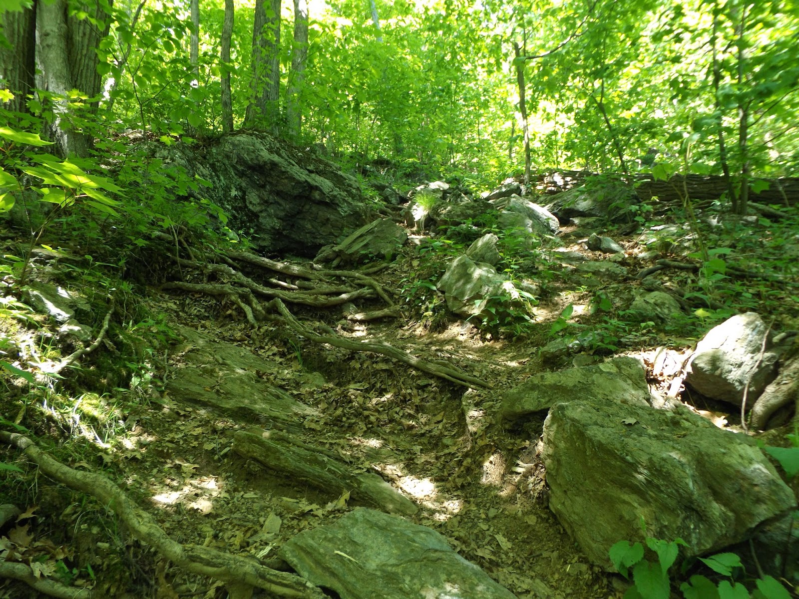
The trail quickly begins to climb up rugged terrain.
Much of the trail is actually a rock scramble where at times it may be necessary to climb on all fours.
After about a quarter mile of very steep climbing, views to the west begin to quickly open up.
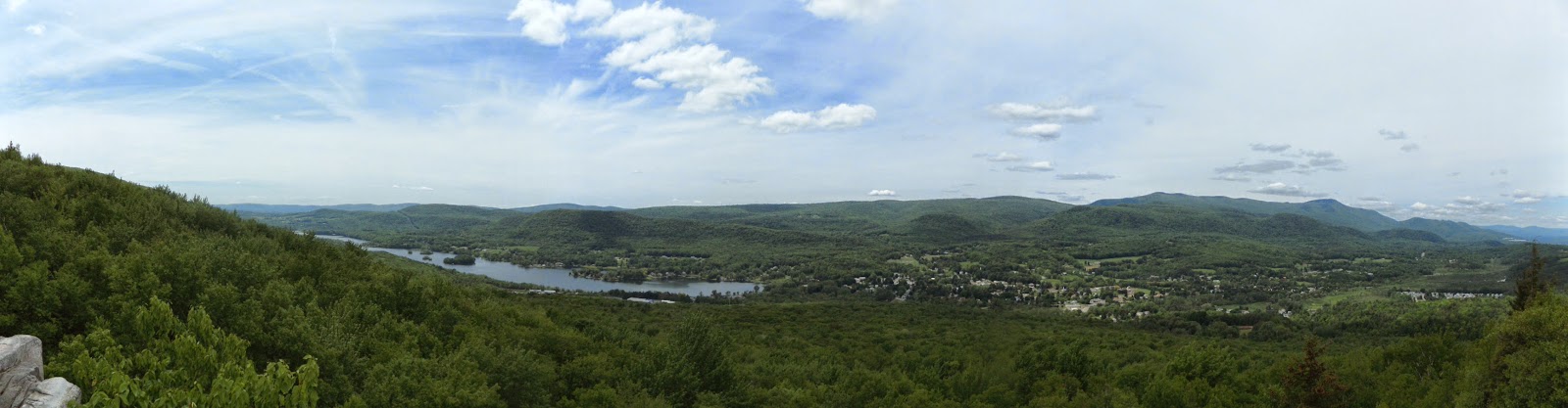
From an open rock face are fantastic views west to northern Dutchess and southern Columbia County.
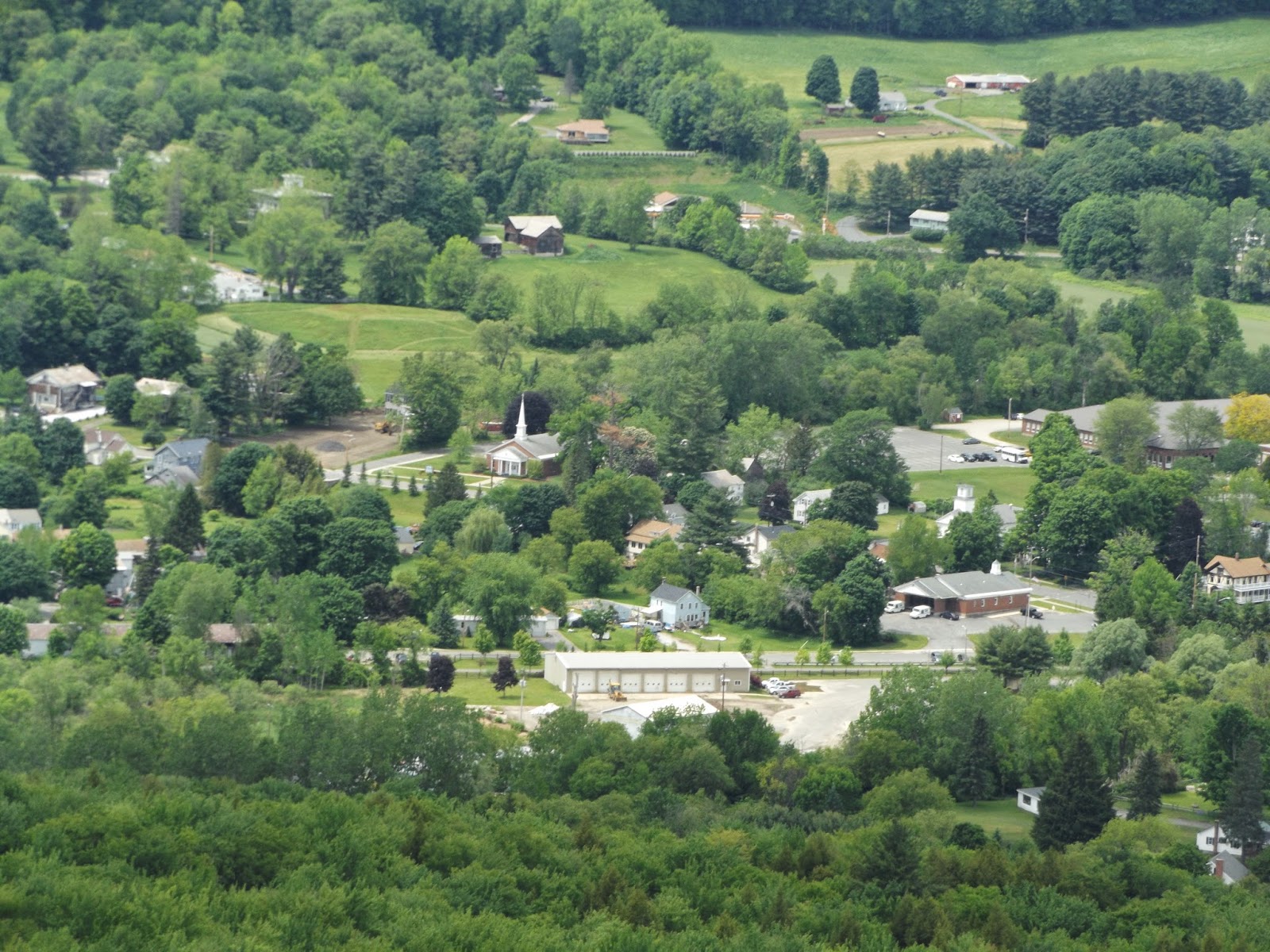
Rural Hudson Valley farmland.
Views across farmland all the way to the Catskills.
Climbing along the western slopes of Brace provides many continuous views.
Southwest views.
Approaching another rocky clearing.
Beautiful mountain laurel were abundant along the trail.
As you near the summit of South Brace Mountain, southern views into Connecticut open for the first time. 
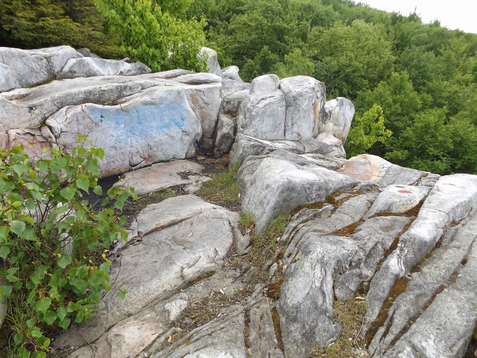
Many rock cairns are found along this section of South Brace.
Nearby Riga Lake can be seen from South Brace's summit.
Once out of the woods, the trail is very open and at times hard to find.  You must use common sense and look hard for white markings or obvious paths.
Great views from an open viewpoint on South Brace.
South Brace Mountain summit.
After leaving South Brace, you descend a saddle between the mountains and then begin to climb Brace.  Here is a view back at nearby South Brace from the climb up Brace.
The smell of mountain laurel is intoxicating along many sections of the trail.
The trail can be seen wandering along the mountain with far reaching views.
Following the open trail.
After about 1.9 miles of mostly difficult climbing, you arrive at Brace Mountain's summit.  A very large rock cairn and flag mark the top.
Beautiful views to the north and slightly east from Brace's summit. 
Brace's treeless summit provides amazing views in all directions, with the best being westerly views.
Looking back up at the summit.
Much of the summit is rocky with large grassy patches perfect for resting and relaxing.
Mount Frizzell, Connecticut's high point a short distance away. 
After leaving the summit area, I explored a side trail to the north which lead to nothing in particular for about a mile before turning around. Mountain laurel was abundant in this area as well.
On the return back down the mountain, there are many views to be had. 
A zoomed in look at the rural countryside.
Hard to tire of the this view west.
Pausing for a moment to enjoy the amazing view.
Heading down a steeper area of the mountain with a nearby unnamed peak rising just to the south.
Hiked a total of about 5.8 total miles with much of it being tough and steep.  A challenging, but fun hike with excellent views.