Search This Blog

Wednesday, August 6, 2014

Pine Cobble (Berkshires)

Took a nice hike after work up Pine Cobble and East Mountain in Williamstown, Mass.  Luckily, a questionable forecast with a chance of thunderstorms didn't pan out at all, and clear skies prevailed.  The trailhead is located near a residential development and back yards are actually visible through the woods in lower parts of the trail.
 The trail climbs through hardwoods and is a very pleasant stroll. 
 Gray, angular hunks of quartzite can be found along several stretches of the trail.
 A large bowl of rainwater pools at the bottom of a triple stemmed oak, making for an interesting spot to stop and marvel.
 After 1.6 miles you arrive at Pine Cobble's south facing views.
Pine Cobble, with an elevation of 1893 feet, is a sub peak of larger East Mountain. There are amazing views of the Greylock Range from here.
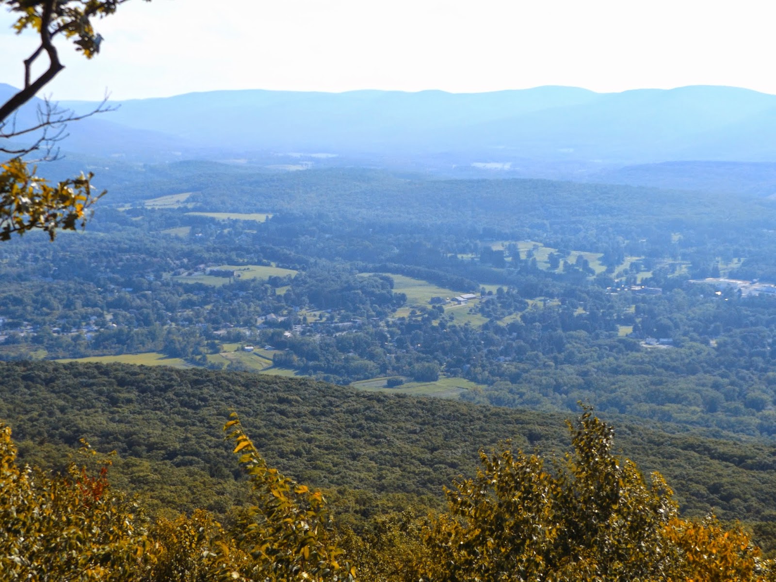
 There are fantastic views down over the Williamstown valley, although the late afternoon sun and summer haze detracted from the view.
 Hazy southern views.
 Looking north towards East Mountain's summit and the Vermont state line.
 Huge quartzite boulders are scattered everywhere around the Pine Cobble summit.  Here is a view back up at Ethan on top of the boulders on the north face.
 The north facing lookout provides dramatic views east as well.
 A look east down over the town of North Adams with the Hoosac Range rising directly above.
 A great panoramic view north and east.
 Pine Cobble's northeast views to North Adams and beyond.
 We hiked back to the trail junction and followed the Pine Cobble Trail to the Appalachian Trail junction.  A large white quartz boulder field makes for a nice spot to explore.

 The rocky cairns at the AT junction.
Hiked a total of 4.4 miles RT.  The day turned out to be outstanding with low humidity and temps in the low 70's.

Monday, August 4, 2014

Ooms Reservation Sunset

Had a limited amount of time and was very tired from work,so went for a nice evening stroll at Ooms Conservation Area in Chatham.  With its open, rolling fields, it is a favorite spot of mine for watching the sunset.
Abundant berries.
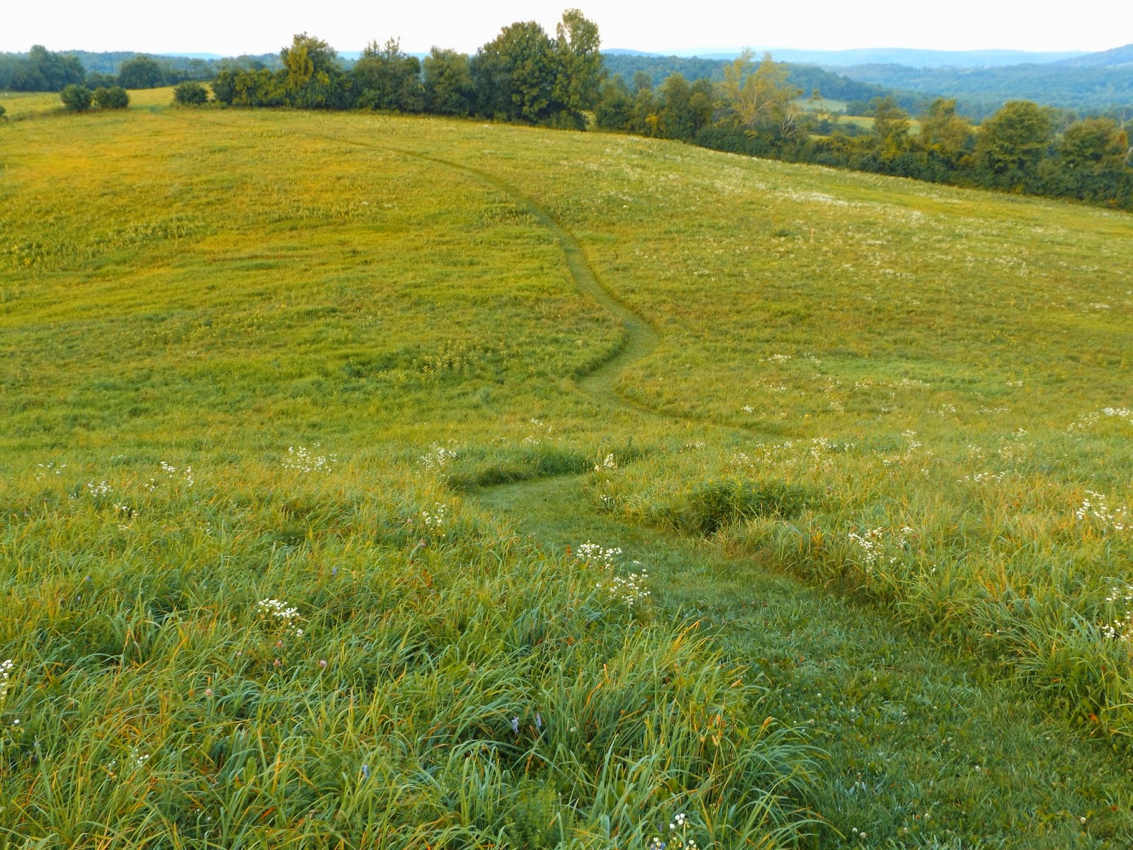
 A beautiful evening, with the sun setting over the wildflowers.
 The sun getting low on the horizon as the clock neared 8pm.
 Winding path.
 Even with moderate humidity, temps were comfortable in the mid 70's.
 The moon beyond the trees.
 The day's last light over Sutherland Pond.

Saturday, August 2, 2014

Kayaderosseras Creek(Burl Trail)

Took a short but beautiful walk along the banks of the Kayaderosseras Creek just outside of Ballston Spa today.  The one mile trail is located at a place called Gray's Crossing, at a large bend in the creek.
 There is ample parking in the parking lot, but the small access road can be easy to miss for the 345 acre parcel. Early morning clouds made way for warm, blue skies.
 Gray's Crossing provides a launch area for kayak/ rowboats as well as the Burl Nature Trail.
The trail enters woodland along the banks of the creek.  Much of this section of the creek is calm, still water.
 The creek begins to run a bit more swiftly just downstream from the bend.
 After walking through the woods for a short distance, you enter a field of pretty wildflowers.

 The trail wanders back to the creek shore amongst weeds and Black Eyed Susans.
 As skies continued to clear, the day got warmer and warmer.
 More wildflowers.
 Water depth doesn't appear to get much more than 3 to 4 feet at the deepest along much of this area.
 There are a few spots where informal paths lead down to the water and muddy shores.
 Recent rains have left a muddy, brown appearance in the waters.
A beautiful, warm day along the Kayaderosseras Creek, which eventually empties into Saratoga Lake.
 Shade and heavy weed growth mark the section of trail that runs along the creek opposite Old Post Road.
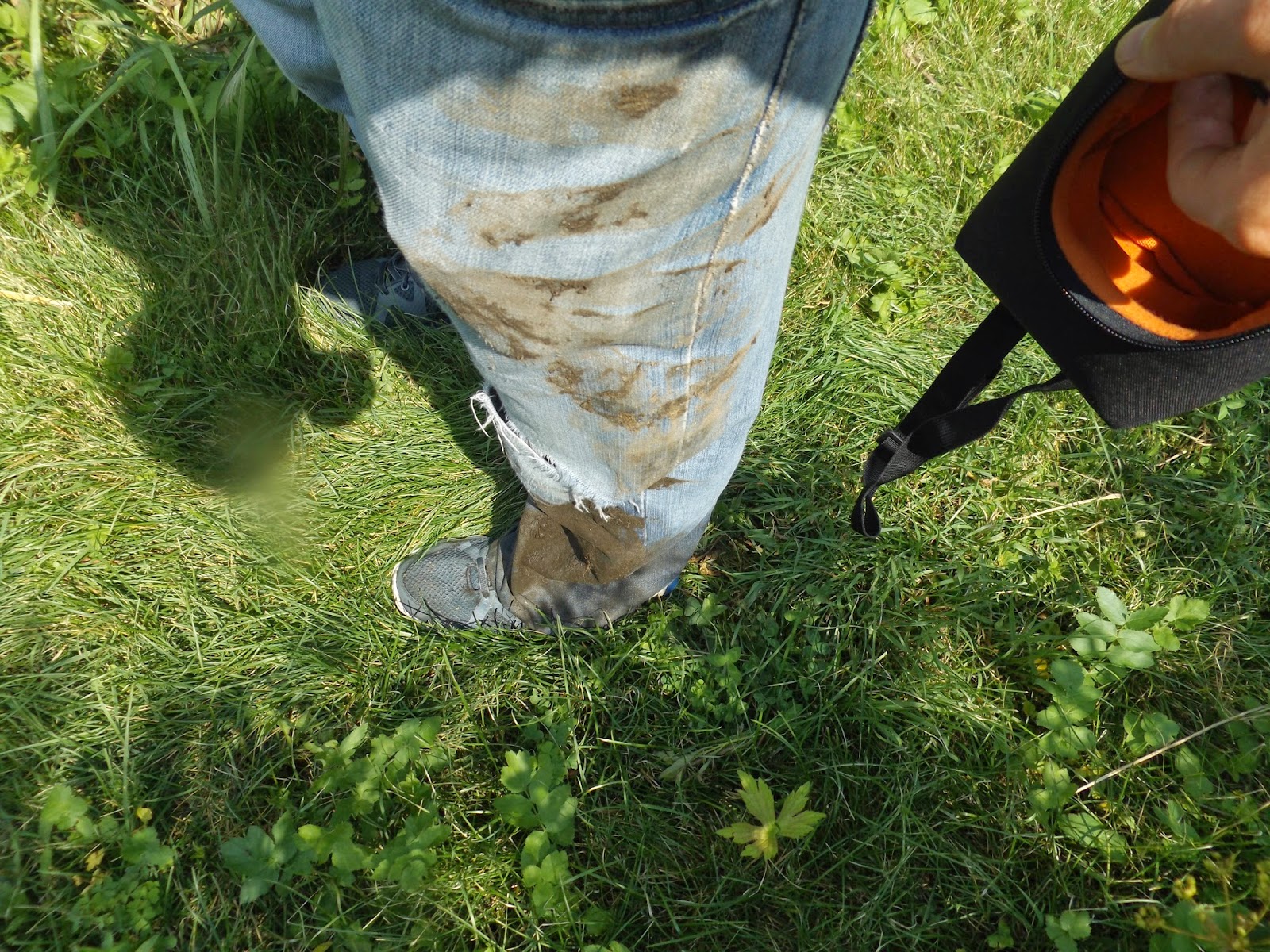
 I took a walk down to the muddy shoreline, but lost my footing in the mud and took a spill.  My left foot actually went into the creek and my leg was planted in the mud. 
 This was a very unpleasant surprise, but I did manage to keep the camera dry.  Phew!

Friday, August 1, 2014

Beebe Hill

Unfortunately car issues derailed my plans to do a backpacking trip in the Adirondack High Peaks, but tried to make do with a local fire tower hike that leads to great views.  Beebe Hill is located in very rural Columbia County with a short, pleasant 2 mile RT hike. The trail up does have three footbridges to cross, where small streams pass by.
 Old stone walls line the woods here as a reminder of the past.
 Opal Pond and its reflections.
 After only a mile with a few short ups you arrive at the fire tower.  There are no views from the ground but there are 360 degree views at the top.
 Unfortunately the view was obscured by haze on a sultry summer day.
 Although the total elevation gain is only 320 feet to the 1753 foot summit, the firetower makes you feel as if you are on top of the world.
 Looking out from the tower.
 A nice panoramic view.
 Looking back down the steep steps!
 Did the loop today, which passes down through hardwoods on a jeep road.  The bugs were terrible through this area and made me wish I had put on some bug spray.
 Back near the trailhead is beautiful Barrett Pond.  It is a gorgeous spot to relax and soak in the peaceful view of the water and its abundant wildlife.
On the walk back to the car I stumbled upon a leaf that seemed to be turning a little early....