Search This Blog

Sunday, August 17, 2014

Race Brook Falls and Mt Race(Berkshires)

A cloudy Sunday morning was giving way to a beautiful summer afternoon as I headed down to the southern Berkshires to hike to Race Brook Falls and Mt Race. There is room for several cars at the trailhead along Route 41 just north of the Connecticut state line in quiet, rural Sheffield, Ma.  You first follow Race Brooks Falls Trail for 2 miles up to the Appalachian Trail.  A winding part of the trail through the only open fields you will encounter.
The rest of the Race Brook Falls Trail is a shaded walk through deep woods.
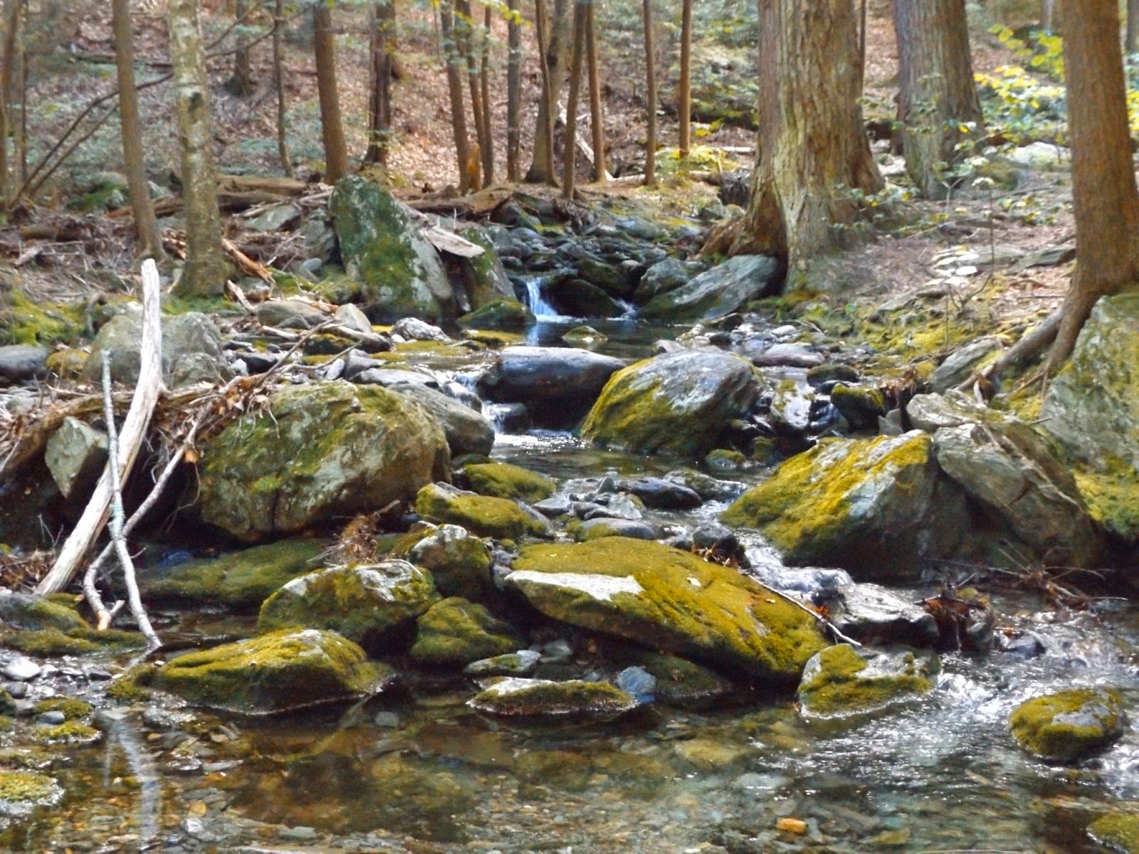
Much of the trail follows babbling Race Brook as you climb up through hemlock woods.
The sun enhancing a huge boulder encountered on the trail.
A twisted tree.
The trail climbs steeply away and above the brook for a distance.
There are steep sections which provide broken glimpses down through the trees.
No looking back.

Near the lower falls is a very steep gorge.
Beautiful lower Race Brook Falls.
The crystal clear water in the pool below the lower Falls.
The sun trying to shine through the dense cover.
Ground level perspective below the lower Falls.
A smaller cascade falling between green, mossy rocks.
A short distance up the trail past the lower falls is Upper Falls.
The top section of the Upper Falls.
Picturesque Upper Race Brook Falls.
Sunny mist
Sunny skies through hardwoods.
A small informal path leads off the trail to a magnificent east view of the Housatonic Valley.
Race Brook winding its way down.
A log footbridge crosses Race Brook just before the end of Race Brook Falls Trail.
Downstream from the footbridge.
After 2 miles of hiking you arrive at the Appalachian Trail.  Turning to the south the trail winds through a much more open section towards Mt Race's upper slopes.
Open rocky sections continue up to the top ridgeline.
Once on top of the mountain, blue skies and views surround you.
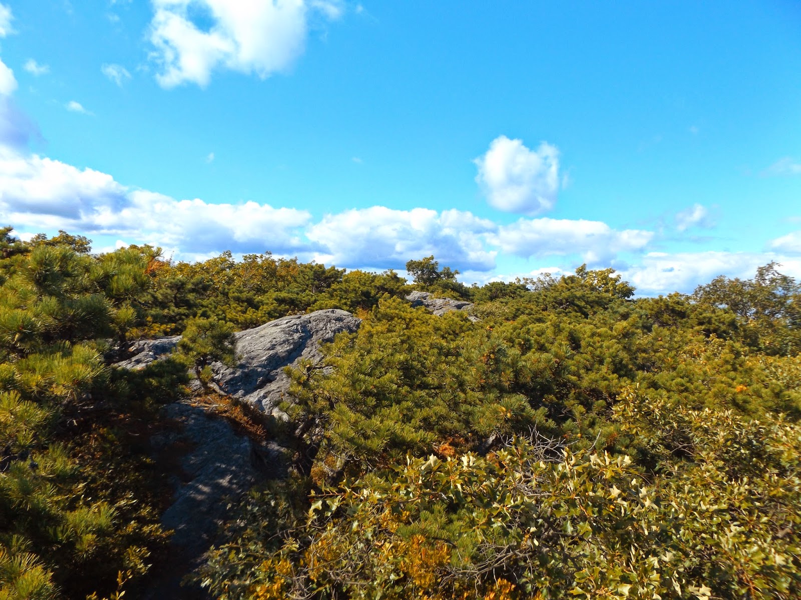
Much of the summit is covered by rock and stunted trees.
East views over the Housatonic Valley are amazing and far reaching.
Although only 2365 feet in elevation, the rocky summit provides some of the finest views in all of the Berkshires.
Just to the north is the rounded dome of Mount Everett.
Far reaching views beyond the trees.
Amazing vistas from the summit of 2,365 foot Mount Race.
South facing views into Connecticut and Twin Lakes
Gorgeous panorama.
Housatonic farmland in southern Berkshire County and northern Litchfield County in Connecticut.
Looking back up at the summit.
The trail follows an open rocky section of the summit.
Returned back down the mountain on the AT to the Race Brook Falls Trail to the car.  Hiked a total of 6.6 miles RT on a spectacular day.

Saturday, August 16, 2014

Grafton Lakes State Park

Today was my company picnic at beautiful Grafton Lakes State Park high up on the Rensselaer Plateau.  Our company's reserved area was at the Deerfield Picnic Area, but took the .25 mile walk down to Long Pond and the large public beach.  Even with cool temps in the upper 60's it was still fairly crowded with a party atmosphere along the beach.  Rowboats and kayaks can be rented and used on Long Pond.
Just beyond the crowded beach a short walk leads to a quiet 2.6 mile loop hiking trail around Long Pond.  A lovely view north up Long Pond just prior to the entering the woods.
There were plenty of mushrooms we spotted along the trail, many with interesting colors.
The trail closely follows Long Pond's shorelines.
The trail is almost completely level and easy walking, with a few rocky areas.
An old tree which has seen better days still standing proud.
Another mushroom!
Pleasant woods walking.
It was a busy summer weekend with many kayakers and hikers out and about.
Early glimpses of fall.
The much quieter, northern section of Long Pond.
A small, peaceful, sandy beach lies at the very north end of the pond.
A panoramic view of the pond with dock.
Leaf detail.
Much to our surprise, a group of folks on horseback came down the trail to the waters edge.
Someone forgot their specs.
Great, cool, overcast walking weather.
Rippling waters.
A rare cameo appearance from this blogger.
This was an interesting rock which almost looks like it has an angry face.
A pretty but small island along the west shore.
Looking across the waters to the public beach.
A walk amongst the pines near the end of the trail.
Cattails and weeds near the beach.
Skies cleared as we came out to the beach.  Many people were out and about enjoying the day.
Headed back to the picnic for several more hours enjoying great company and food.  Very much enjoyed our 3 mile RT hike.

Friday, August 15, 2014

Schermerhorn Gorge(Berkshires)

It's been almost a week since I've been out at all, so even cool, cloudy conditions weren't going to keep me in today.  It was actually very un-summer like by noon when I got into the Berkshires with temps only in the mid 50's.
 
 Drove east to the central Berkshires to hike the Schermerhorn Gorge Trail in October Mountain State Forest.  The trailhead can be a little tricky to find, so I parked at a small pull off near Woods Pond in Lenoxdale and walked from there.  A beautiful footbridge crosses just above the outlet of Woods Pond where the Housatonic River flows downstream.
Gravel Woodland Road hugs the pond's shoreline and affords bucolic views out across the waters.
 The Pond is flanked by the steep slopes of October Mountain to the east.
 The pond is very serene and teeming with wildlife.  Purple Loosestrife made for a beautiful scene.
 Although peaceful to look at, the highest concentration of PCB's in the Housatonic River system are found at Woods Pond unfortunately.
 After a very pleasant stroll along Roaring Brook Road on the east shore of Woods Pond, you eventually come to the Gorge Trail.
 The trail climbs steeply at first, following the banks of babbling Schermerhorn Brook.
 It is a very nice walk, although fairly steep for a short distance.
 There are many picturesque, small cascades flowing downstream.
 Many huge rocks are scattered about amidst the mostly hemlock forest.
 The brook is never very far from the trail and makes for a pleasant trail companion.
 Hemlock woods near the top of the gorge.
 Schermerhorn Brook, just below the dam at Felton Lake.
 A very handsome keystone arch bridge built of native stone lies just below the dam.
 The flowing waters make for a gorgeous cascade below Felton Lake.
 Felton Lake's quiet, wooded shoreline.  A very peaceful, quiet spot.
 The lake is very small at only 12 acres, but offers plenty of opportunities to view wildlife.
 After enjoying the solitude of Felton Lake, the trail loops back down through the woods, along the north side of the brook.
 A bend in the brook where a fallen tree has made its home.
 More gorgeous cascades.
 Near the bottom of the gorge, Schermerhorn Brook flows peacefully along.
 After about .8 of a mile down through the gorge, you arrive back at gravel Roaring Brook Road.
 The remainder of the hike is along the gorgeous, wooded gravel roads.
Although a cool, autumn feeling summer day, it felt great to get out and hike 3.7 miles RT on a beautiful trail.