Search This Blog

Sunday, October 4, 2015

Vanderbilt Mansion(Hudson Valley)

Kalli and I took advantage of a beautiful Sunday afternoon to visit the beautiful grounds of the Vanderbilt Mansion Historic Site, located in Hyde Park along the east shores of the Hudson River.
This was a very popular place to be a sunny but brisk Sunday afternoon in autumn.
After we parked our car, we strolled along the park road north past large open fields, where families played.
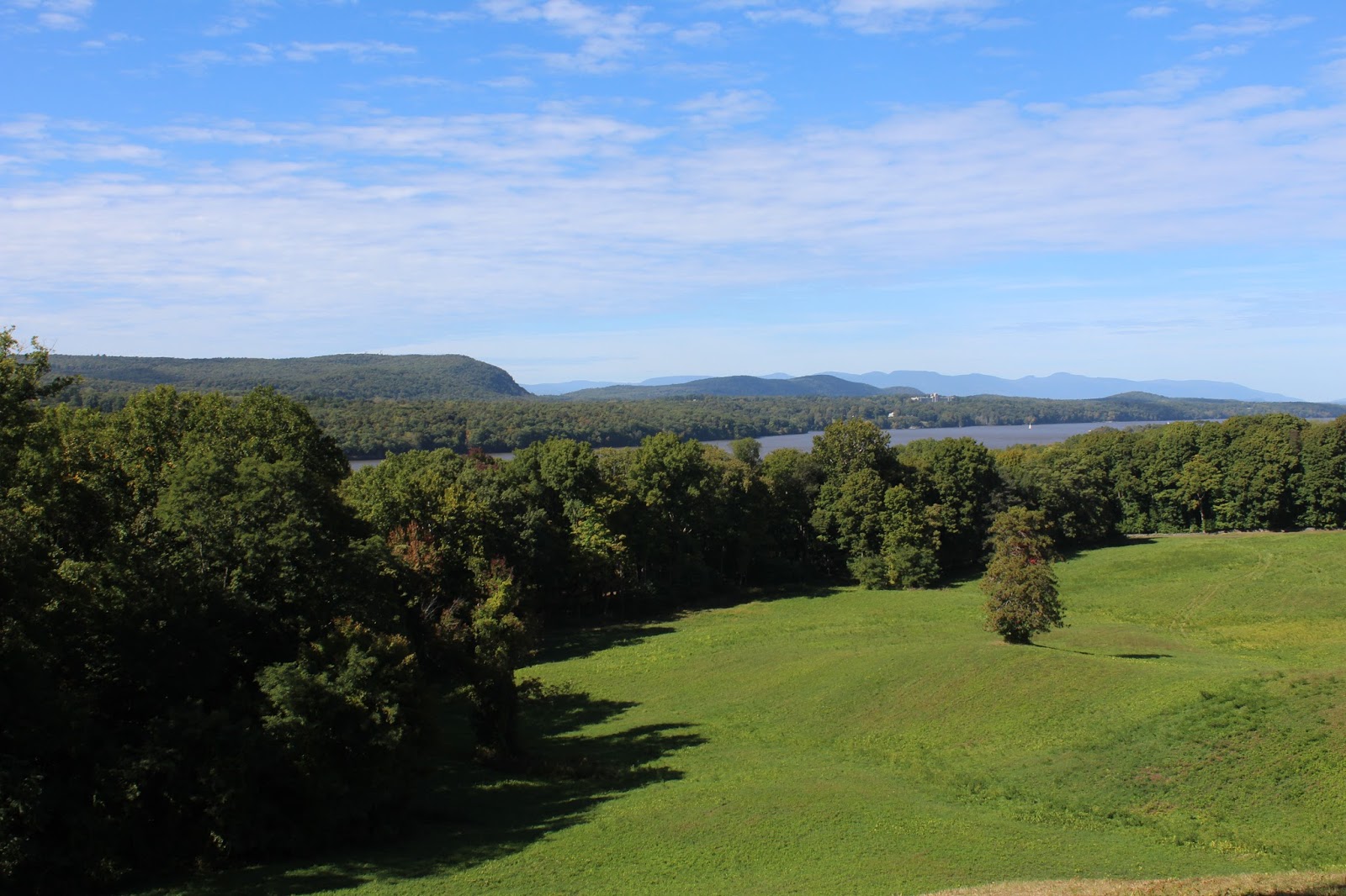
 A short distance into our walk, we arrived at a amazing overlook to the west. 
 Wide open meadows sprawl out, with the Hudson River and rolling peaks in the distance.
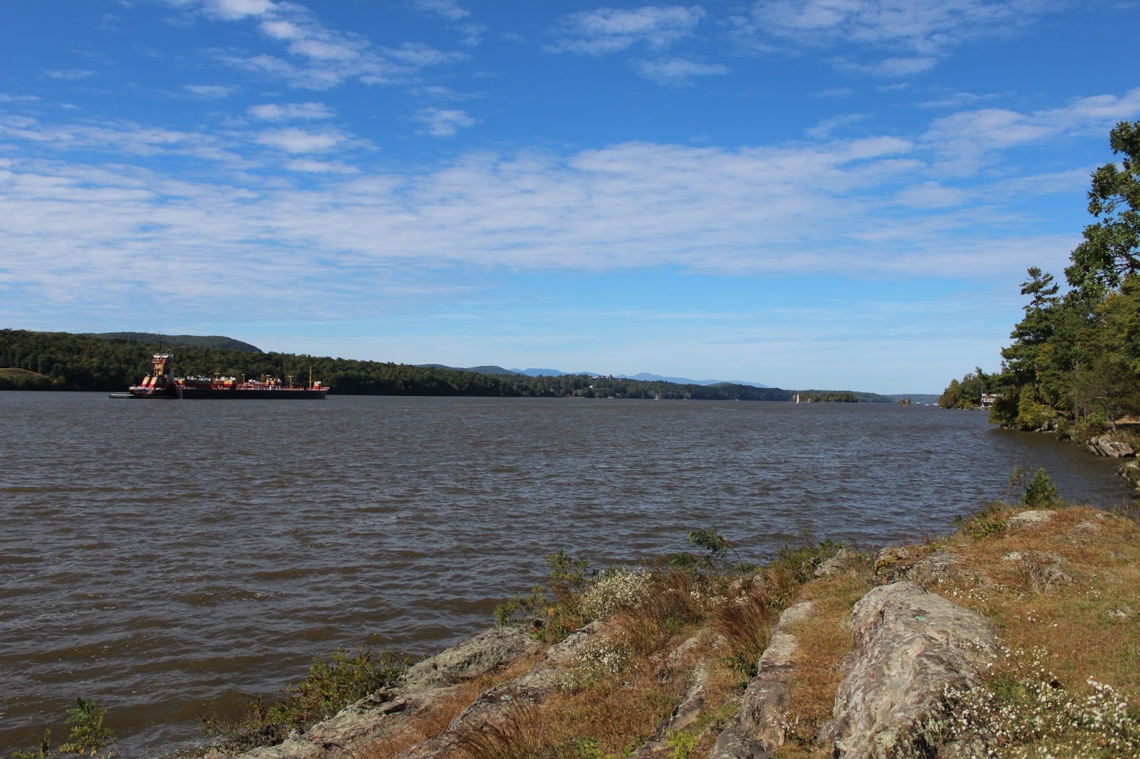
We continued our walk down the steep access road to the Bard Rock picnic area on the river.  There are pleasant views both upstream and downstream from here. 
A barge was stationary near us.
 The view upriver on a beautiful fall day.
 After enjoying the river views, we continued our walk on t he Hyde Park trail, which traverses through the woods near the river and makes a loop around the property.  Near the southern end of the trail, the sounds of rushing water could be heard.  We walked about 50 yards away to a nice view of man made waterfalls tumbling down Crum Elbow Creek.
 Bridge detail on Dock Street.
Continuing north on the Hyde Park Trail, we soon arrived at the formal gardens.  This was a beautiful area, meticulously maintained.
 Formal gardens.
 The last stop before returning to the car was the mansion itself. 
 Open lawns surround the mansion on three sides, providing fantastic views of the mansion.  This is from the front(east side).
 The 50 room Classical-style mansion was built in 1898 by Frederick William Vanderbilt, grandson of Cornelius Vanderbilt, the famous 19th century railroad tycoon and richest man in America during his lifetime.
 The north side of the mansion, with the sun just cresting the top.
 
 An up close view at the pillars on the north facade.  Truly majestic.
A couple out enjoying the day. These grounds make the perfect spot to get out, stretch your legs and enjoy the nature and history around you.
 We completed a full loop of the grounds, really taking our time and soaking in our surroundings.  Not sure on exact mileage, but 2.5 miles may be close.


Friday, October 2, 2015

Lye Brook Falls/ Upper Tubs Falls(Vermont)

With a persistent cold and cloudy pattern setting up, I knew it wouldn't be a great day for mountain vistas.  Instead I figured I would check out a couple of waterfalls in Vermont.  Lye Brook Falls is a very well known 125 foot falls in the heart of the Green Mountains near Manchester.  A 2.3 mile trail brings you to the base of the falls, where amazing views can be had.  To find the trail, I took exit 4 off Route 7(Manchester exit), and turned right onto 11/30 for less than a half mile.  A sharp turn to the right onto East Manchester Road is followed by a left onto Glen Road after 1.2 miles.  Once on Glen Road, bear right at a fork(marked for Lye Brook Wilderness) and follow this to the end, where a large parking area is available.
 The trail is marked with blue blazes and is wide and easy to follow.
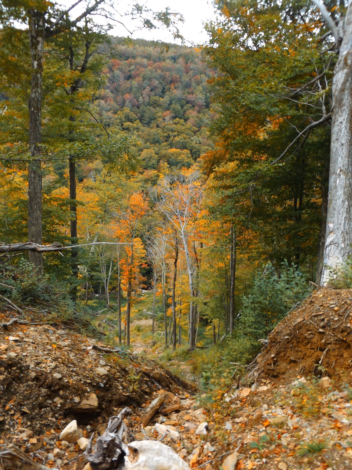
 A large washout area, provides a nice look down towards Lye Brook.
Entering the Lye Brook  Wilderness.
 
 The trail crosses a couple of streamlets, which are flowing a bit stronger with the recent rains, but still easily negotiated by rock hopping.
 Frothy waters.
 After about 1.8 miles, the trail comes to a fork.  Bear right here to head to the falls, which are very audible at this point.
A large slide provides a steep look down into Lye Brook Hollow.
 Looking up the huge slide.
 After 2.3 miles and over 750 feet elevation gain, you arrive at Lye Brook Falls.  Here is a zoomed in view at the very to of the falls.
 A small foot path heads steeply up the side of the falls, providing a much better look.
The falls crash down over a series of drops for over 125 feet.
A lower section of the falls that empty into a pool near the trail.
After enjoying the waterfalls, I retraced my steps back 2.3 miles to the car for a total of 4.6 miles RT.  
After grabbing lunch and starting to head home, I remembered reading about an interesting falls on Wash Tub Brook, so thought I would try to find Upper Tubs, located in rural North Pownal near the New York state border.  This a little known falls, usually only known by locals and can be quite hard to find.  From Route 346 in North Pownal, take North Pownal Road for about .2 miles, then bear left onto Skiparee Road and follow this for 1.3 miles to a fork.  Bear right at the fork onto Fowlers Road, where a small unmarked pull off is found about .1 of a mile up the road.
A view of the Taconic Range from Skiparee Road.
From the small pull off, head back down the road about 75 feet to an easily recognizable foot path into the woods.  The foot path widens to an old road, where Wash Tub Brook is only a few yards away.
 The creek quickly drops away steeply from the old road and a long chute leads into a narrow deep gorge.
 Continuing a hundred feet or so further, a small path heads straight down a very steep bank.  There are ropes tied to trees here to help on the way down, and more importantly on the way back up.  Once at the bottom, walk a few feet up the creek to the base of a beautiful falls, which empty into a large pool.  This is a very picturesque spot.
 Rushing water cascading down.
Used the rope to climb back up out of the gorge and then walked the .15 mile back to the car.


Thursday, October 1, 2015

Ampersand Mountain/ Middle Saranac Lake(Adirondacks High Peaks Region)

With clouds hanging tough over much of the region this morning, I decided to head north towards the High Peaks where skies were clear.  The drive along Route 73 was very scenic as the leaves are beginning to change.  Here is a nice shot of the early morning clouds burning off over the high peaks.
 The parking lot for the trail is located on the north side of Route 3, 8.2 miles west of where Route 3/ 86 split in Saranac Lake.  There is ample parking available and the lot was nearly full when I arrived today.  The air temperature was only 45 degrees as I hit the trail.
To get to the Ampersand Mountain trailhead you must cross to the south side of busy Route 3, where a large sign indicates the start of the trail.
A short distance into the hike, a footbridge crosses Dutton Brook.
 Dutton Brook flowing strong after yesterday's heavy rains.
 A long section of puncheon further along the trail.
 You will soon arrive at a second brook crossing over McKenna Brook.
 The first 1.2 miles of the trail are wide and level, with barely any elevation gain.  From there, the trail begins to climb.
A steep section of trail over wet rocks. 
 Looking back down at a steep, wet section of trail.
 All of the recent rain turned the trail into one big run off.  The ascent and especially the descent were made much more difficult due to these conditions.
 After nearly 2 miles of hiking, a view begins to open up behind you through the trees.
Nearing the summit area, the trail levels out a bit, going through a large, wet and muddy section.
 The trail literally passes beneath a house size glacial erratic.  A large arrow points the way.
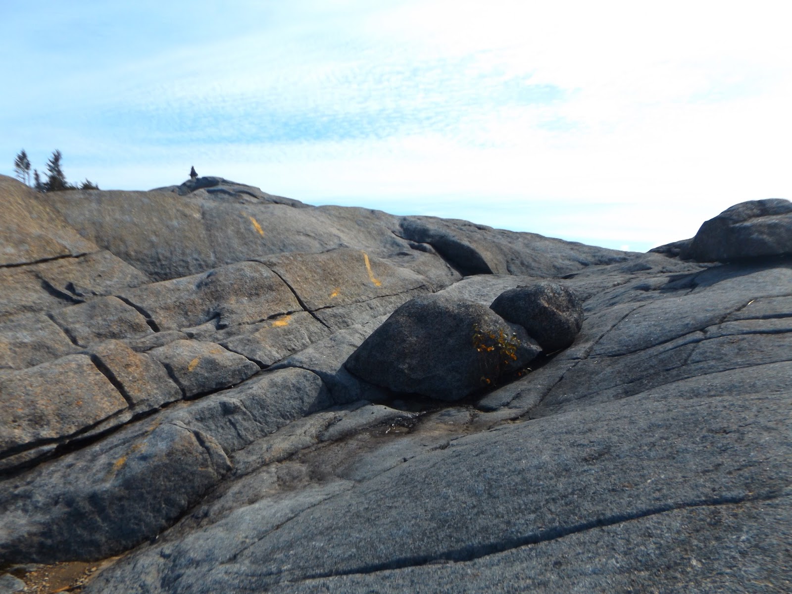
After a rock squeeze and one more climb, the trail arrives at the huge, rocky summit area.  From here, the climb continues along the yellow chalk lines to the summit.
After a short climb on the open rocks, you will emerge to amazing views in nearly all directions.  There is a lot of pooling water on the open rocks.
 The summit!!!  Elevation 3352 feet.
Southern views towards many of the high peaks, which are ablaze in fall color.
An incredible view to the north and west over Middle Saranac Lake.
 A view northeast towards Lower Saranac Lake.
Standing water near the summit.
 Rock hopping on the summit rocks.
A closer look at Middle Saranac Lake. 
 There were several other parties out enjoying the views, but there was a biting wind making everyone bundle up.  A gentle reminder that winter is coming quick.
The western view.
 Long reaching views towards Saranac Lake village and beyond.
After lingering on the summit area for a while, soaking in the 360 degree views, I retraced my steps off the mountain for 5.4 mile RT hike.  
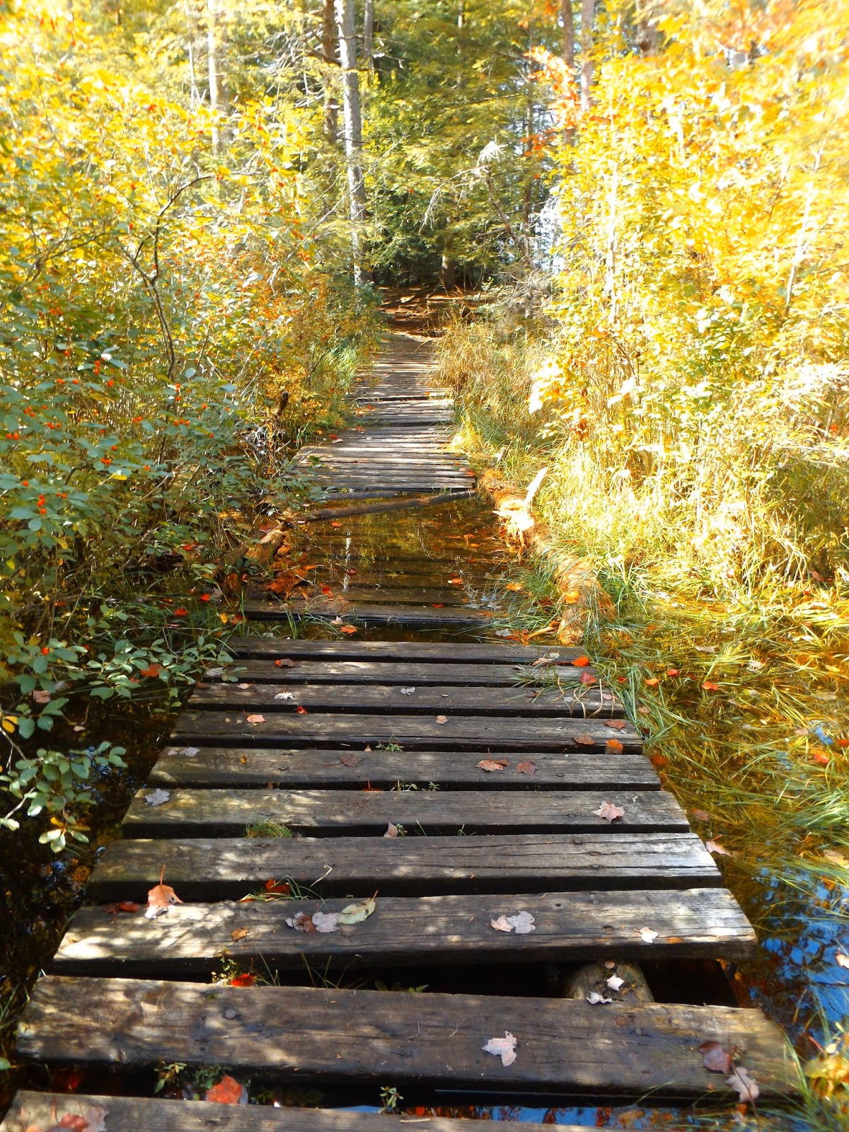
Once I arrived back at the car, I opted to take the trail north from the parking lot, which leads .6 of a mile to Middle Saranac Lake's shores.  This trail is level and easy to follow, eventually leading to a wet crossing over Dutton Brook's swampy waters.
Arriving at beautiful Middle Saranac Lake.  There is an outhouse and informal camping areas in the woods along the shore.
Fall colors are pooping on Middle Saranac Lake's sandy beaches.
Middle Saranac Lake's cold waters.
 Still water reflections where Dutton Brook widens and becomes a small pond, just before emptying into the lake.
Completed the 1.2 mile RT walk to the lake for a total of 6.6 miles for the day.  A great start to the month of October.