Search This Blog

Friday, July 17, 2020

East Mountain Ledges-Appalachian Trail(Berkshires)

Decided to do a quick early evening jaunt up to the ledges along East Mountain's ridge on the Appalchian Trail in the southern Berkshires.  Parked along Homes Road, just SE of Great Barrington, where the AT crosses, elevation 1083 feet.  The humidity, unfortunately, was on the rise as I set out, following the familiar white blazes east, and in no time at all I was sweating pretty good.  
Passing through a lovely fern glade on a level stretch of trail.
The climb up towards East Mountain's ridge is steady but never too steep.  Nicely laid out trails and stone steps also aid in the ascent.
Just about one mile into the hike, the trail comes to the first good view point.  From a wide open ledge just a couple feet off trail, atop a set of slanted boulders are spectacular views.  To the west, the view encompasses the Taconic ridgeline running north above Catamount Ski Area(Mount Fray).  This makes a good spot to stop and linger, and soak in the vista.
After enjoying the first good views, there is a noticeable drop and reclimb up towards another nice view spot.
 The second vista, less than half a mile after the first, sits just off trail on another slanted ledge.
From here, the view south and west is quite nice.  Many of the southern Taconics across the Housatonic River Valley are visible, with the high point being 2608 foot Mount Everett.
After enjoying the views, I turned back, retracing my steps back down to the road.  Instead of going to the car, however, I continued west, across the road and up towards neighboring June Mountain's summit.
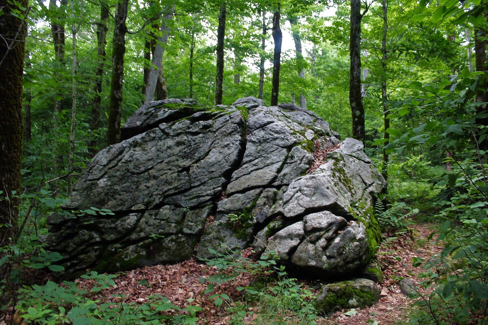
The 1225 foot summit is wooded and nondescript, but there is a fairly large erratic beside the trail near the top.
Returned to the car from there, a mere 2/10 of a mile away.  Total for the day was about 3.2 miles RT and 850 feet of climbing.

Saturday, July 11, 2020

Becket Mountain to Finerty Pond-Appalachian Trail(Berkshires)

Needed some woods therapy so headed over to the Berkshires after work on yet another sticky, muggy afternoon to do some exploring.  With the uncomfortable conditions I planned on doing an out and back along a quiet section of the Appalachian Trail near the Becket/ Lee/Washington town lines.  Parked in a small pull off on the south side Becket Road, just north of Route 20 where the Appalachian Trail crosses, elevation 1750 feet. Crossed the road and picked up the white blazes heading north ascending the slopes of Becket Mountain.
The trail climbs steadily but never steeply north then northeast and in half a mile I arrived at the 2200 foot summit of Becket Mountain.  The summit offers no views, but is very pleasant, surrounded by a sea of ferns.  I also was very interested to find old footings for a fire tower, that was removed way back in 1916.
 A few yards further along the trail, at a enormous set of boulders sits a summit benchmark.
Continuing beyond Becket Mountain, the trail slowly loses elevation as it winds its way NW, rolling along a high ridge. 
The trail stays above 2000 feet all the way over to Walling Mountain, passing over a nondescript, small summit bump between the two.  Fern glades were plentiful on this section of the AT, keeping the trail very scenic.
 Just prior to hitting the summit ridge atop Walling Mountain, I came across this scenic cracked up erratic.  Although Walling's 2220 foot summit is the high point of the day, there really is no distinguishable high spot and can easily go unnoticed.
 In case you forgot to pack a lunch, give chicken of the woods a try!
 The high humidity and recent wet weather have made newt a happy little camper.
 After hitting the summit ridge atop Walling Mountain, the AT drops steadily down the west slopes of the peak towards Finerty Pond, losing over 300 feet in just over 1/3 of a mile.
The AT crosses over the Finerty Trail, a multi use trail in the October Mountain State Forest, on its way towards the pond.  A small, unmarked path leaves the trail and heads down to water's edge providing nice views of Finerty Pond.
 Threatening skies loomed over much of the pond, but peeks of blue kept my hopes up to stay dry.
 Mountain laurel are more abundant along the AT down near the water.
I decided to leave the Appalachian Trail and check out part of the Finerty Trail, which closely follows the east shore of the pond.  This trail is open to off road vehicles and is thus much muddier and less scenic.
 
Another short spur trail drops down off the Finerty Trail to the pond.  At this point, the sun had come back out, stirring up the atmosphere and pumping up the humidity to oppressive levels.
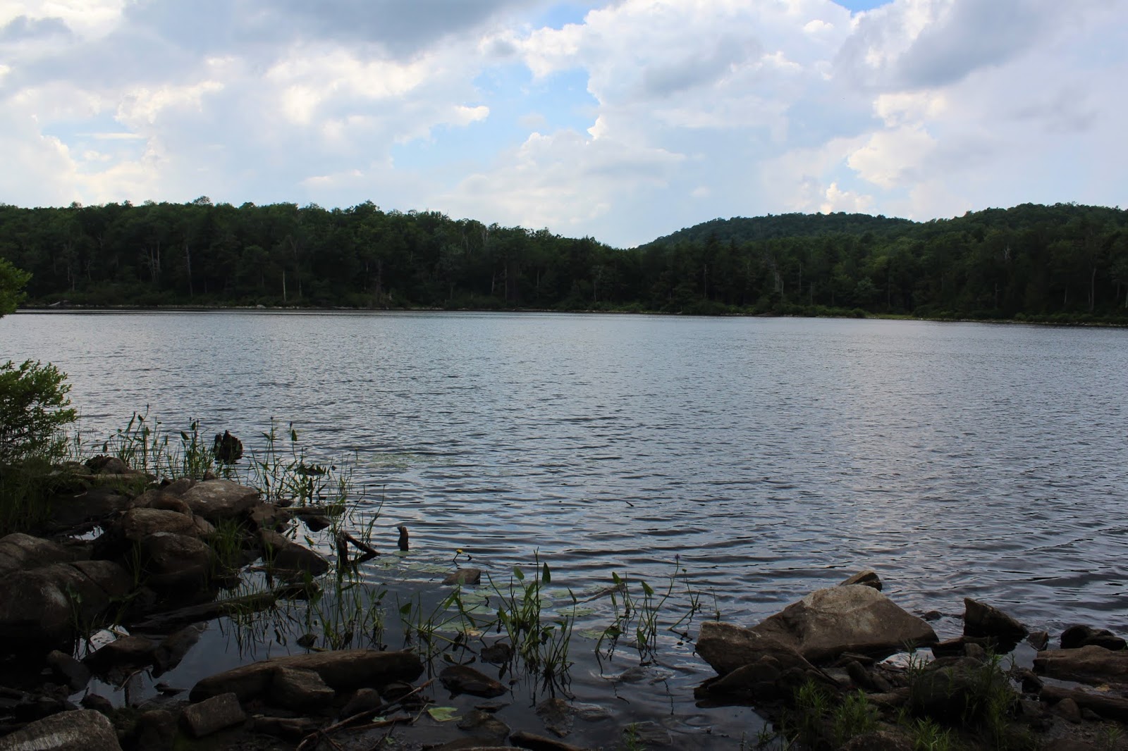
Hazy sunshine over the calm waters of Finerty Pond.  If you have the place to yourself, like I did, it is can be a truly serene experience.
Stayed on the Finerty Trail for a bit longer heading north, turning around at a bridge crossing over babling Mountian Brook.
 Retraced my steps back to the AT, which re-climbs Walling Mountain, gaining back over 300 feet.  Once up on the ridge, I spotted some mountain ash, sitting just off trail.
Nearby thunder and ominous skies finally gave way to a steady rain, which actually felt really great.  The wooded canopy kept me from getting too wet, but did help cool me down just a bit.
A fairly uneventful hike back saw the rain come to an end as I arrived back at the fern covered summit of Becket Mountain once again.  From there it was a nice and easy descent down to the car.
Hiked about 5.2 miles RT with about 900 feet of elevation gain.  Ready for this humidity to break any time now.
Today's Route below.  Red=Hike In   Blue=Return Hike

Thursday, July 9, 2020

Monument Mountain Reservation(Berkshires)

Decided to revisit Monument Mountain Reservation, an old favorite of mine in the Berkshires, on a uncomfortably sultry summer afternoon.  With a heat index well into the 90's, I wanted to do something short and sweet and this beautiful spot hit the mark.  Parked at the Trustees of Reservations parking area along Route 7 in Great Barrington and set out heading first south on the blue blazed Indian Monument Trail. Trailhead elevation is about 950 feet.
The trail begins fairly benign, passing beneath giant red pines before beginning a gradual climb into a mixed forest.
As the trail ascends it turns more northerly, following an old carriage road up the west side of the peak.  I followed this trail to a junction with the red blazed Squaw Peak Trail.  This trail turns right, east, heading straight up towards the enormous cliff bands near the summit.
On the way towards the summit, the trail passes several peek a boo views towards the west, but the best is yet to come.
Suddenly, the trail climbs quite steeply up towards the first impressive set of ledges.  The view from this spot is not to be missed!  Being sure to keep good footing, the view south towards the Devil's Pulpit is quite breathtaking.  The line of mountains beyond only enhance the scene.  Just beyond Squaw Peak's long southern ridge is Three Mile Hill(foreground center), with Beartown Mountain, the ski slopes of Butternut Ski area(Warner Mountain) and East Mountain running left to right in the distance.
To the east, the view takes in the long ridge of Beartown Mountain State Forest on the horizon, as well as the local middle school and high schools down in the valley.
These ledges actually sit just off trail, but make for a spectacular perch to enjoy the view.  This is looking SE towards more of Beartown Mountain State Forest.
This entire area has dangerously vertical drop offs, so it is not to be taken lightly.  If you pay attention and are careful though, you should have no issues.
After a small up and down back on the trail, one last steep push brings you up towards the 1642 foot rocky summit of Squaw Peak.  There are many good views to be enjoyed from these rocks.  Wandering over to a west view, I enjoyed this look towards Mount Everett and the Egremont valley towards NY state.
NE views stretch into the town of Stockbridge and also take in the north end of Beartown Mountain where the popular trail to Ice Gulch and Laura's Tower can be found.
The north facing view features a good look over Agawam Lake, and even a hint of Mount Greylock in the far, far distance through the haze.
A bit of a zoom view towards Agawam Lake and its wetland, which some people have speculated served as Herman Melville's inspiration for the great white whale in Moby Dick. The lake does have a bit of a whale "look" to it.
After enjoying the abundance of views, the trail begins to drop, losing elevation quickly, before arriving at Inscription Rock and a trail junction.  The blue blazed Indian Monument Trail turns right, and the yellow marked Hickey Trail heads right.  I chose to take the Hickey Trail, forming a loop back to the car.
The Hickey Trail, blazed in yellow, drops steadily down through a deep hemlock forest, with the help of stone steps along the way.
After a fairly steady descent, the trail turns south, leveling off a bit, passing through a very pleasant forest.
Just off trail, I snuck a quick peak at some of the steep, enormous piles of rock rubble below the summit.
Got back to the car, drenched in sweat, but satisfied.  A nice and easy, but hot, 3 mile RT with over 800 feet of climbing. It had been a long 7 years since my last visit here, and I don't plan to wait that long again next time.

Saturday, July 4, 2020

Papscanee Island Nature Preserve(Schodack, Rensselaer County, NY)

Headed down to the 156 acre Papscanee Island Nature Preserve along the east banks of the Hudson River on another hot, sultry summer day.  I was quite shocked to be the only car there when I arrived on a holiday weekend afternoon.  Parked at the Preserve's southern access just beyond the Railroad crossing on Staats Island Road.  From the kiosk at the start of the trail it was immediately apparent that recent trail maintenance had taken place.
Took the trail to a split, where the blue trail breaks off to the left and shortly down to the Hudson River.
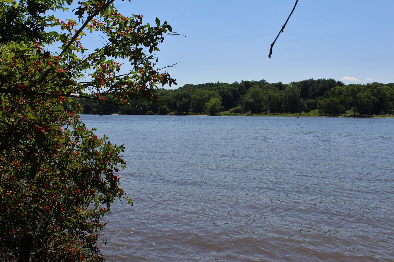
 Looking north, upstream towards the Port of Albany with a barge making its way down the river.
 Tiger Lilies near the trail.
 Just off the blue trail, I followed an unofficial(but obvious) herd path/ trail.
From a clearing off the unofficial trail I enjoyed an up close and personal view of the enormous barge.  Very impressive.
 Wild berries along the water's edge.
A bit further along the unofficial trail(nd a bit more overgrown), it pops out once again into a clearing atop cement barriers.
 A lone kayaker making their way upstream.
Back in the woods on the unofficial trail I saw something a few yards away hidden by thick weeds.  I decided to give it a closer look and it turned out to be a pair of old, rotting speed boats. 
Judging by the condition of the boats, they must have been here for quite some time.  Especially in the summer with full vegetation, they can be hard to see.
 Back on the main trail network, I completed a loop around the blue trail and part of the white trail before returning to the car.  The official trails are very nice to walk on right now following the recent maintenance. 
Hiked about 2 miles total on a hot summer afternoon and didn't see another person.  Happy 4th!