Located mostly along the top of the Helderburg Escarpment in rural Albany County, John Boyd Thacher Park makes for a terrific and very popular day trip for many folks in the Capital Region. There are multiple different camping opportunities as well as picnic shelters, ballfields, and most of all its far reaching clifftop views that can be hiked or driven to. As stated there are several options for scenic views, with the most readily available being the free overlook parking area. Only steps away from your car, there are phenomenal views to be had.
A panoramic view.
Just beyond a stone wall barrier lies a very sharp cliff drop off.
The views are outstanding, and due to its easily accessible parking lot, all can enjoy.
Many ledges along the escarpment have 700 foot drops to the valley floor. You can basically follow the edge of the cliffs along nearly the entire park on the Escarpment Trail.
Looking down into the rural Albany County countryside.
Anyone who visits Thacher Park must do their very best to visit the Indian Ladder Trail, which offers some of the best hiking in the entire area. A very steep stairway leads down along the rocky escarpment.
Limestone cliffs and jagged rock formations await.
You may have to bend down to walk this part of the trail.
The rocky cliffs tower above you to the left, while the woods fall off on the right to the valley.
Here is a look directly up the rocky cliffs.
Coming down another stairway along the trail towards another rocky overhang. For perspective you can see the family walking under the rocks, including an adult walking upright with no problem.
Geologists say Thacher Park has the world's oldest exposed limestone and one of the world's best fossil bearing formations.
Although water levels are at their low summertime levels, you can see Mine Lot Falls dropping off the escarpment above.
Standing directly below Mine Lot Falls. You can usually expect to get a little wet(not more than a sprinkle) along this section.
Looking back at Mine Lot Falls.
Mine Lot Falls with some spectators along the trail.
Indian Ladder Trail was actually built by the Scoharie Indians as a trading route and actually built a ladder to scale the steep escarpment.
Smaller cascades.
Steep, rocky facing.
Walking back along the Long Path/ Escarpment Trail provides this interesting view of a slide along the steep facing that must have occurred during a heavy rain storm.
Mine Lot Creek flowing very slowly along. Much of the creek dries up during the warm summer months.
Didn't do a terrible amount of walking, but about 1.5 miles RT. A very nice day at Thacher Park in the Helderburgs.
Adventures around the Capital Region area of New York State, as well as the Adirondacks, Catskills, Berkshires and Vermont
Search This Blog
Friday, July 25, 2014
Thursday, July 24, 2014
Huyck Preserve(Rensselaerville Falls)
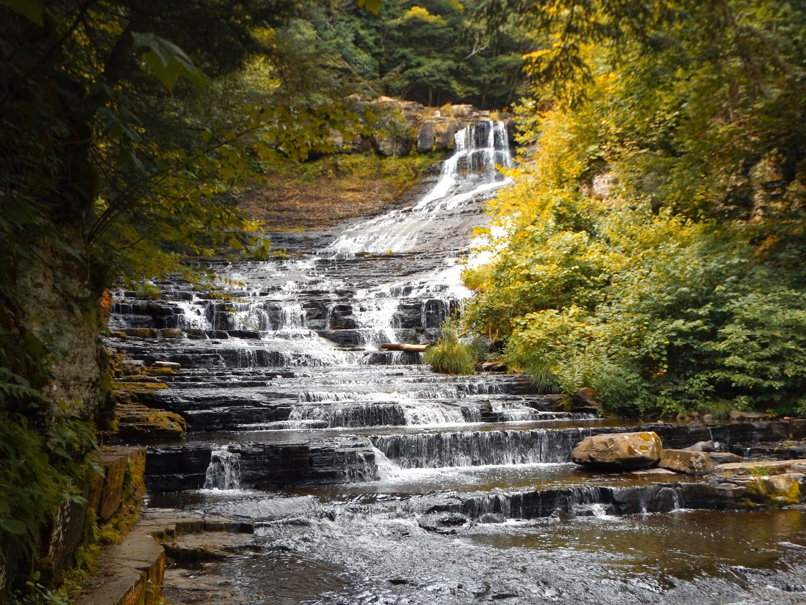
Went west to rural western Albany County today to visit the Edmund Niles Huyck Preserve in Rensselaerville. The most popular feature of this preserve is Rensselaerville Falls, dropping gorgeously 120 feet in three different segments. Many people don't realize that there are over 12 miles of trails throughout this entire property with many other sites to see. The main entrance to the southern portion of the preserve is located in the middle of the lovely hamlet of Rensselaerville.
From the parking lot, a short walk along Ten Mile Creek brings you almost immediately to the base of Rensselaerville Falls. A sturdy footbridge provides wonderful views of the lower falls.
Wandering along the west shore of the pool at the base of the falls gives great views as well.
Turning back away from the creek, the trail quickly heads up, passing the site of the original Huyck Felt Mill from the 1870's.
A flood in 1878 severely damaged the mill, combined with overgrazing led to the mill being abandoned and moved to Albany.
Stone foundations are all that remain from he original site of the felt mill.
A spur trail breaks off just past the mill giving a very picturesque view of the middle section of Rensselaerville Falls.
You can clearly see the wooden footbridge at the top of the falls here. This is a great spot to feel the water that slowly creeps by the end of the trail.
Backtracking from the water, the trail ascends through a beautiful woodland.
A slight breeze and low humidity made today a phenomenal day to be out walking.
Stone walls, property lines dating all the way back to the 18th century, can be found snaking through these woods.
From the top section of the falls, looking down through the gorge.
The footbridge at the very top of the falls makes a pleasant spot to soak in the view.
The top falls are just as beautiful as the rest, just with a different perspective.
The trail splits near the top of the falls, with both trails looping around Lake Myosotis. I took the East Side Trail which wanders through the woods before arriving at the lake's shores.
The beach and boathouse can be found along the middle section of the lake on this part of trail.
The northern shoreline of Lake Myosotis. Although the foot trail follows the shoreline, there is definitely a "wild" feel to most of the lake trail.
The dam at the southern part of Lake Myosotis.
Simply a perfect day to be out and about.
Walked back along the west side of the creek and the foundation trail to the Biological Research Center and main road. The creek opens up into a still water section before tumbling down beyond the other side of the bridge.
Drove up to the northern section of the preserve above Lake Myosotis where there several trail options. From the parking area, Lincoln Pond spillway lined with orange day lillies.
The Lincoln Pond Spillway marks the beginning of the trail that loops around the pond.
Eldridge Research Center on the west shore of Lincoln Pond.
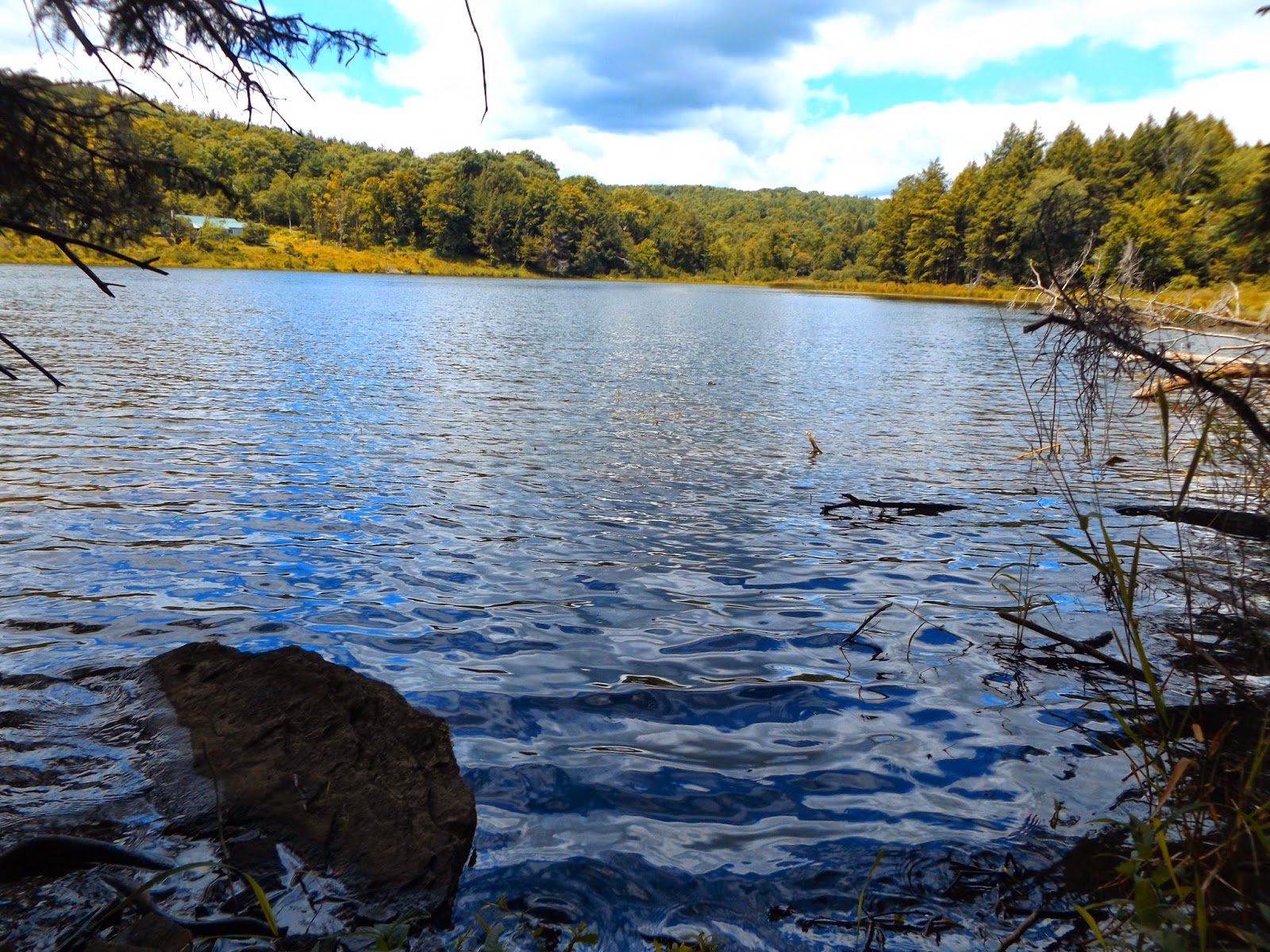
Although much smaller in size than its neighbor, Lincoln Pond(formerly known and marked on maps as Hicks Pond) is much more picturesque and wild than Lake Myosotis.
The northern section of Lincoln Pond turns more swampy.
The trail edges closer to the swampy waters before circling back around through woodland and over the inlet.
A small visitor to the preserve.
A wooden footbridge crosses a gentle stream flowing into Lincoln Pond in a very quiet section of the trail.
Altogether hiked a total of 4+ leisurely miles RT. A wonderful, hidden gem with abundant history and wildlife opportunities.
Subscribe to:
Posts (Atom)