Anyone who has hiked or driven to the summit of Mount Greylock in the Berkshires has more than likely seen 2517 foot Ragged Mountain, a prominent bump on the east side of the mountain range. There are several approaches to the multitude of trails throughout the Reservation, and today I would be coming from Gould Road on the east side of the mountain range. Gould Road is located in the town of Adams, almost directly below Greylock's summit and provides spectacular views of the summit tower and historic 1901 landslide. Here is the view near the Pecks Falls parking area along Gould Road.
I made a quick pit stop to picturesque Pecks Falls, which are located about .1 of a mile from the road.
Just upstream of the falls.
After exploring the falls for a few minutes, I got back in the car and continued on Gould Road to the parking lot at the end of the public road. Just past the parking lot is a gate leading to a private farm and incredible views of Mount Greylock.
From the trail head, I began my hike on the Bellows Pipe South trail.
The trail soon begins climbing and turns to a large meadow like area.
The view east from the broad clearing on the trail. From here, there are many trails heading up the mountain. I took the Bucket Trail, which leads north for a short distance before meeting back up with Bellows Pipe Trail once again. The Bellows Pipe Trail heads west then north, towards the legendary Thunderbolt Trail.
The Thunderbolt Ski Area was built way back in the 1930's, but fell into despair in the 1980's after years of neglect. Today there are remnants of the old ski lifts which can be easily seen in the brush.
Continuing along the Bucket Trail(quite literally).
Old light fixtures amongst the trees.
A view trough the trees at Ragged Mountain.
Passing by the Thunderbolt Trail, which climbs very steeply directly up to Mount Greylock's summit.
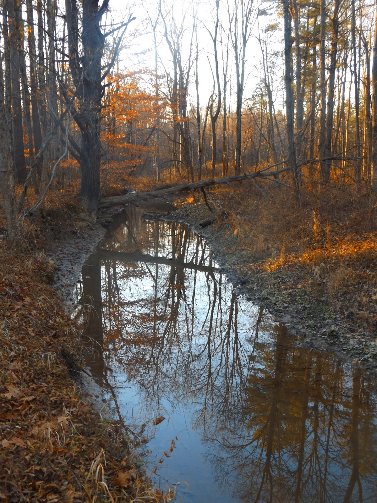
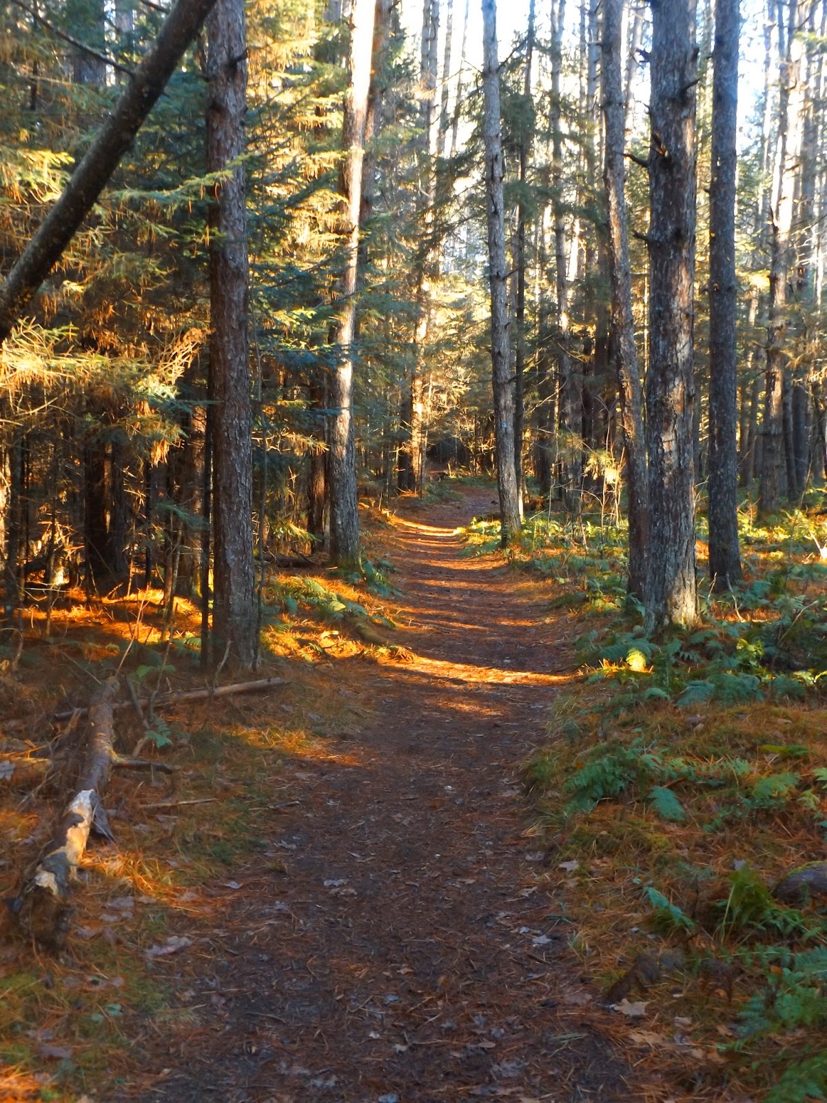
Continuing on the Bellows Pipe Trail past the Thunderbolt Trail junction.
The Bellows Pipe lean to with fire pit.
I was shocked to see a huge hole in the floor of the lean to. Upon further inspection I noticed that there were burn marks on the wood. Very sad to see this happen.
Another view of the lean to.
I stopped here for a few minutes, enjoying the solitude and incredible mid November weather.
As I neared the trail junction to the Ragged Mountain trail I spotted this stone wall, which climbs very steep slopes. I'm always amazed to see where these walls were built way back when.
The Ragged Mountain trail junction.
Just before reaching the summit, I noticed a great view back towards Greylock's summit tower.
A closer look at the incredible slide on the steep east facing slopes just below the summit.
Mount Greylock's summit.
Arriving at the summit of Ragged Mountain, after an ascent of 1288 feet. A small rock ledge provides great views to south and nearby Mount Greylock.
Continuing past the summit, an unmaintained trail winds through the woods, starting generally north on an easy to follow path. After turning east, however, the foot path becomes a bit harder to find. There are sporadic blue paint marks on the trees and soon the path disappears altogether. From here it is a true bushwhack until you pick up blue paint markings again near the rocky prominence known as Ravens Rocks. From Ravens Rocks, located on the east side of Ragged Mountain, there are spectacular views to the east over the entire valley.
Mount Greylock, as seen from Ravens Rocks.
Ravens Rocks.
Looking directly down upon Specialty Minerals large quarry.
The Hoosac Range towering above the town of Adams.
After exploring Ravens Rocks, I bushwhacked my way back to Ragged Mountain and then retraced my steps down off the mountain. From there I turned south on the Bellows Pipe Trail, heading back towards the car. There are several stream crossings along the way, which have carved out quite a path on their way down.
Old ski lifts deep in the woods.
Coming back down through the meadow as I neared the car.
Hiked about 6 miles RT, on a gorgeous late fall day.