Search This Blog

Tuesday, December 18, 2018

Hunt Hill, Cabot Mountain and Touchmenot Mountain(Catskills)

Had a special request to hike a pair of Catskill mountains with my buddy Jim today, to complete his goal of hiking the 200 hundred highest peaks in the Catskills.  To make it more interesting, we decided to throw in a third peak and a spotted car to do a one way, longer traverse.  Our goal was to hike up to Hunt Hill, then over to Cabot Mountain, and finally to Touchmenot Mountain before dropping down to our spotted car at the entrance to Little Pond Campground. Our starting point was at 1300 feet elevation along BWS Road #8 on the south side of the Pepacton Reservoir, where a narrow corridor leads to state land.
Walking the line..we headed steeply up the state land boundary, complete with barbed wire.
Higher up along the barbed wire boundary line in a deep hemlock grove.  Conditions were great, as there was only about an inch of snow atop a crusty underlying snow which we were able to walk upon.
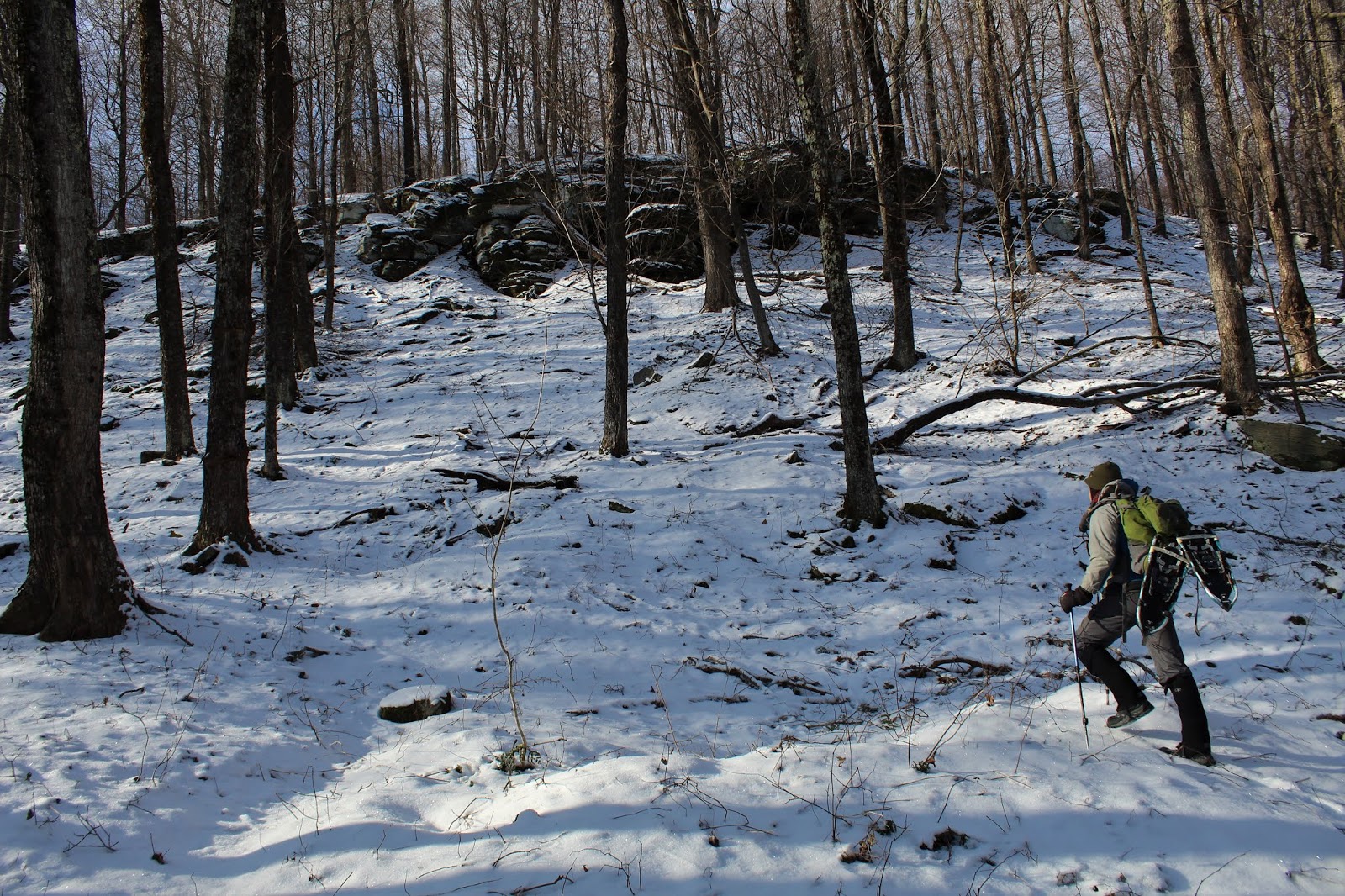
As always, we found interesting rock formations on the slopes of the peak. 
A passing snow squall blurred our view through the trees to the north over the reservoir towards Perch Lake Mountain.
The climb up Hunt Hill's slopes was quite steep, as we gained over 1000 feet in less than 3/4 of a mile.
After emerging from the dark hemlocks, we hit a hardwood forest, where all of the branches were locked in a coating of ice.
Hitting the 2350 wooded summit of Hunt Hill.  The wintry conditions made up for the lack of any significant views.
The woods at this elevation took on a fairy tale feel, with ice and snow coating nearly everything.
Beech leaves provide a nice contrast to the colorless winter scene.
From Hunt Hill, we followed the ridge east to an adjoining parcel of state land. This was a long ridge walk, climbing up and over a 2311 foot bump, then turning SE and steadily ascending up towards Cabot's false summit.
As we climbed up Cabot's 2910 foot NW peak, we began to hit the only are of significant blowdown we found all day.
The open, snowy woods atop the NW peak of Cabot.
Continuing off the NW summit bump, we head through more icy hardwoods.
Between the NW summit and the true summit, we ran smack dab into a red blazed DEC trail, which brought us right up towards Cabot's true summit.
The trail passes unceremoniously over the 2970 foot summit of Cabot Mountain, where the snow depth got its deepest at a fluffy 4 or 5 inches, atop a hard crust.
With clearing skies above, the gorgeous trail atop Cabot's summit ridge was absolutely beautiful.
At the far south end of the summit ridge, at a bend in the trail, is a rock ledge with a  view.
From the ledge, the view SE over Little Pond towards Mongaup's peaks in the distance is spectacular.
A 60 foot drop from the ledge means good footing is a must.  As we enjoyed the vista for a couple of minutes, the clouds began to break...unveiling a different look.
The descent off Cabot's summit ridge is nothing short of scary in icy conditions, which is exactly what we were facing on the way down.  This part of the trail felt surprisingly similar to the Devils Path, complete with red trail markers.  We were forced to butt slide down in a couple of particularly steep, icy spots. 
Through the bare trees, we were able to capture a small glimpse of our last peak of the day, Tocuhmenot Mountain, sitting about one mile away.
As we dropped to under 2500 feet on a nice land bridge between the peaks, we left some of the harsher wintry conditions behind.
At a trail junction, we left he red blazed trail and followed the blue marked trail up towards the summit.  An easy, uneventful climb brought us up to Touchmenot's 2762 foot wooded summit, which sits a mere 10 feet off trail.  Peek a boo views through the trees were the best we could find up here.  This was, however, Jim's completion of the 200 hundred highest peaks in the Catskills.
The drop off Touchmenot's summit was much more gentle than Cabot's as we followed the trail down the long south ridge.
Just off trail we spotted a rock wall, a Catskill staple.
A short bushwhack brought us out to the shore of Little Pond.  From the beach area, we caught a nice glimpse north at Cabot's south ridge along the water and summit area that we had just been on in the distance.
We explored the campground area a bit, passing by a pretty dam at the outlet of the pond. 
Followed the park access road the rest of the way out to the spotted car on Big Pond Road.  Hiked about 7.5 miles RT with 2100 feet of ascent.  Congrats to my buddy Jim on hitting the 200 highest Catskill peaks!  Glad I could be there with him on this one!

Friday, December 14, 2018

Bozen Kill Preserve(Altamont)

Visited the Mohawk Hudson Land Conservancy's 214 acre Bozen Kill Preserve, located along Westfall Road just outside the village of Altamont, after work this afternoon.  Although today's warmer temperatures in the upper 30's melted much of yesterday's inch or two of snow, the rushing water of the Bozen Kill still looked icy cold.
Followed the short blue marked trail along the creek, where water's power of erosion was on clear display.
The blue trail quickly bends away from the creek, crossing an open field over to a white blazed trail.  This white trail follows what looks to be some sort of old road.
A small overlook with a plaque provides a look down at the Bozen Kill from the top of a washed out slope.
The trail leaves the old road for a short distance before meeting back up with it at a large rock cairn.
The white trail eventually dead ends at the Bozen Kill, where you get your best chance to get up close and personal with the creek.  This was also formerly the end of the Preserve's trail system.
Near the white trails terminus, I found a new(at least to me) red marked trail which closely follows a small tributary.  I stumbled across the remains of some sort of old, washed out footbridge on the tiny stream.
The trail soon crosses over the tributary, which is a very easy rock hop.
Another neat find along the trail was this old cellar hole, which has been completely filled in over the years.
The red trail continues basically west, with the meandering Bozen Kill on the banks down below.
The creek bending away from the trail to the south.
The red trail basically runs between the low land of the creek and at the foot of a very steep slope to the north.
Further along, a more sheltered section of the trail finds the creek in a much more wintry state.
The red trail comes to a dead end at a picturesque spot on the creek after nearly 2/3 of a mile.
The impressively eroded banks at the end of the trail rise nearly 20 feet above the water.
I retraced my steps back towards the car, enjoying the relative warmth and increasing sunshine along the way.
Hiked about 2.6 miles total at this pretty preserve.

Tuesday, December 11, 2018

Barkaboom Mountain(Catskills)

Headed out to the western Catskills Tuesday to do a long traverse hike with my buddy Jim.  The game plan was to meet up at the Shavertown Bridge on the Pepacton Reservoir early in the morning.  As luck would have it, the crisp air, morning mist, and rising sun, all came together to make for a gorgeous setting.
From the water's edge, frost covered slopes tower above Shavertown Bridge.
 From the bridge itself, the view across the water was quite striking as well.
As I've stated before in previous visits to the western Catskills, the drive along many of the back roads and byways is in itself a wonderful experience.  This off the beaten path view of the Mill Brook valley nearly took our breath away.
 Mill Brook valley view.
Our main goal for the day was to hike to the summit of 3100 foot Barkaboom Mountain, but with the intent of seeing as much of the long mountain ridge that we could.   Nearly 100% of the mountain is deciduous and we only came across a couple of steep ledges which were easily ascended.
DEC land provides access to many interesting nooks and crannies on this long ridge.  As we gained elevation, the snow depth went from a couple of inches to nearly a foot.
 High up in the cirque below the 3000 foot false summit, we managed to squeeze in a small south facing ledge view over Mountain Lake and Big Pond.
Between the false summit and true summit, we came across a small, but pretty snow covered wetland.
The true summit, at 3100 feet of elevation.  My 99th Hundred Highest peak.  The deeper snow near the summit had tired us out a bit, so we took a couple minutes here to refuel.
Descending the steep, east slopes off the summit, with the low angle December sun already beginning to fade.
 Is that a potential viewpoint....? 
From the steep eastern slopes of Barkaboom, the far western edge of Mill Brook Ridge can be seen rising impressively through the trees.
 From the same vantage point, we enjoyed a SE view towards Cradle Rock Ridge.
 Enjoying the fleeting daylight as we crossed yet another wetland high up on Barkaboom's slopes.
Our final leg of the hike was along picturesque Cross Mountain Road, which we met at a height of land just over 2600 feet.
From the road, Barkaboom's long summit ridge can be seen rising across the deep abyss where dead end Old Edwards Road runs.
We hiked about 7 miles total, with nearly 2000 feet of ascent on a cold, but picturesque mid December day.  99/102 in my Catskill Hundred Highest quest.