Had an invite today from a couple of my buddies to hit 4020 foot Dial Mountain, and 4620 Nippletop Mountain, a couple of Adk High Peaks, so I took them up on their offer and headed north on a perfect summer day. Temps actually started around 50 degrees in the morning, so it was cool, and not all that buggy. We parked at the AMR parking lot(with plenty of open parking-I love weekday hikes), and we set out on foot via Ausable Road. What an amazing location these folks have!! Elevation to start the day was 1250 feet.
We quietly made our way from Ausable Road to Lake Road and continued along this section of the road until we came to our left hand turn onto the Leach Trail.
Once on the Leach Trail, the climbing is steady and steep, typical of an Adk Hgh Peak.
At about 3 miles into the hike, elevation 3000 feet, we emerged atop a shoulder of Noonmark Mountain, where a 1999 accidental fire has left a large swath of open rock providing outstanding views towards the entire Great Range.
To the south, the layered view of Bear Den in the foreground, with Dial poking out beyond, and Dix Mountain with its impressive slides in the distance.
After enjoying the views, we began a drop and reclimb up to the 3420 foot wooded summit of Bear Den Mountain.
After yet another drop, a steadily steep climb brought us up the slopes of Dial Mountain.
After over 700 feet of climbing in less than a half hour, we arrived at the giant boulder marking Dial's 4020 foot summit.
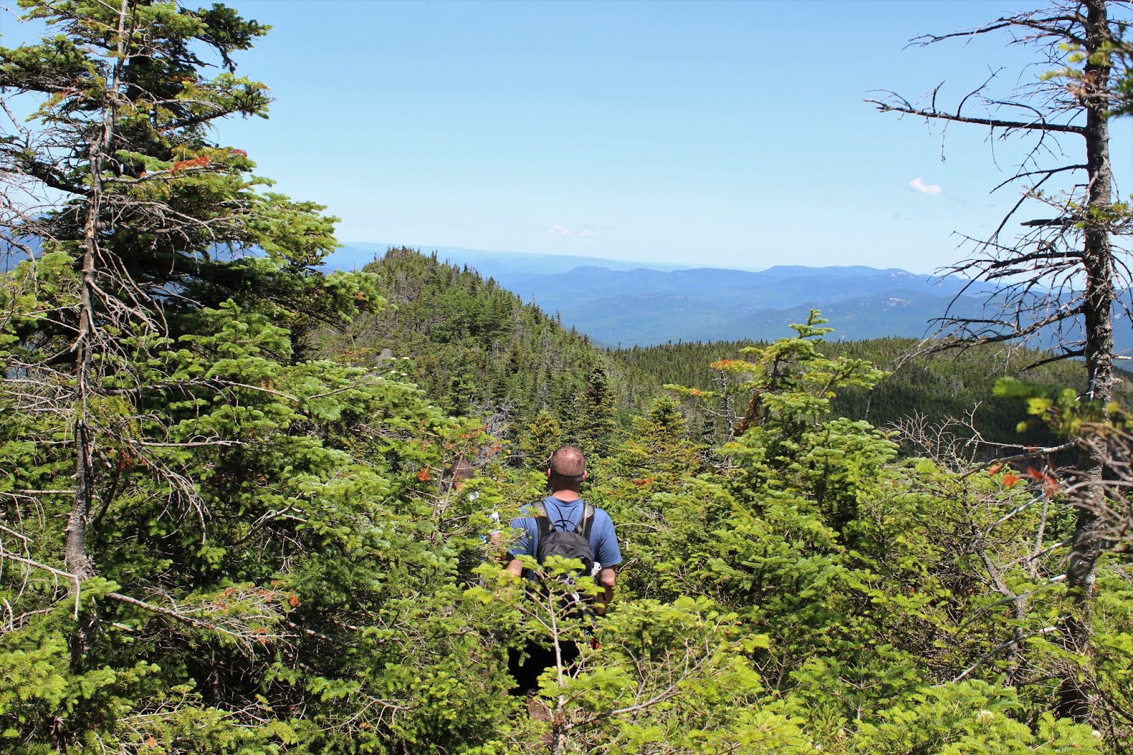
From atop the boulder at the summit, we found a great view SW towards the multiple bumps making up Nippletop, our next destination.
From the tiny perch on Dial, we also marveled at the Great Range views across the valley to the west.
We quickly moved on from Dial's summit, beginning a steep descent down to the col between the peaks.
The trail to Nippletop passes over a couple of false summits and was the first point all day where we began to encounter some thicker mud areas.
Arriving at the trail junction with Elk Pass, we continued on the last 2/10 of a mile towards Nippltop's summit, which we easily spotted through the trees ahead.
Nearing the summit, views of the surrounding peaks begin to emerge above the treetops, but hold on tight because the best is yet to come. From the 4620 foot summit of Nippletop, there are incredible views. I first checked out the east views across Hunters Pass to nearby Dix Mountain and its neighbor Hough. The view of the slides on Dix are as good as I've seen anywhere from this vantage point.
On the west side of the summit, the views are even broader and more magnificent. The Colvin Range almost looks close enough to touch.
To the south, part of Elk Lake is visible, with the Pinnacle on the right.
A zoom view of Elk Lake and its wetlands on the NW end of the lake.
More of the Colvin Range.
To the west, the Great Range in all of its glory...a truly incredible sight.
A zoom view towards the Panther Gorge area(Skylight, Marcy and Basin in the distance with Haystack in front)
After enjoying the amazing summit of Nippletop, we turned back, but not before one more great view, this time towards Giant and Rocky Peak Ridge to the NE.
Heading back towards the Elk Pass trail, with Nippletop's false summit rising above.
We turned left(west) onto the Elk Pass trail, and began a very, very steep drop down off the west side of the mountain. The views of the Great Range above us were quite distracting much of the way.
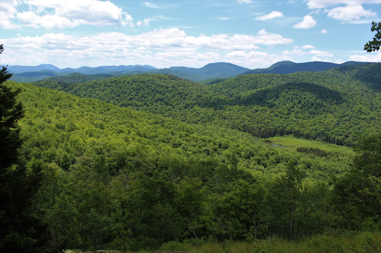
A remarkably steep drop of over 1300 feet in 1.1 miles brought us down to gorgeous Elk Pass, where a series of three beautiful beaver ponds sit at the foot of the surrounding peaks. What an amazing spot. Nippletop's slopes can be seen on the left(east) here.
Colvin's slopes to the west are seen here, rising above the shallow waters.
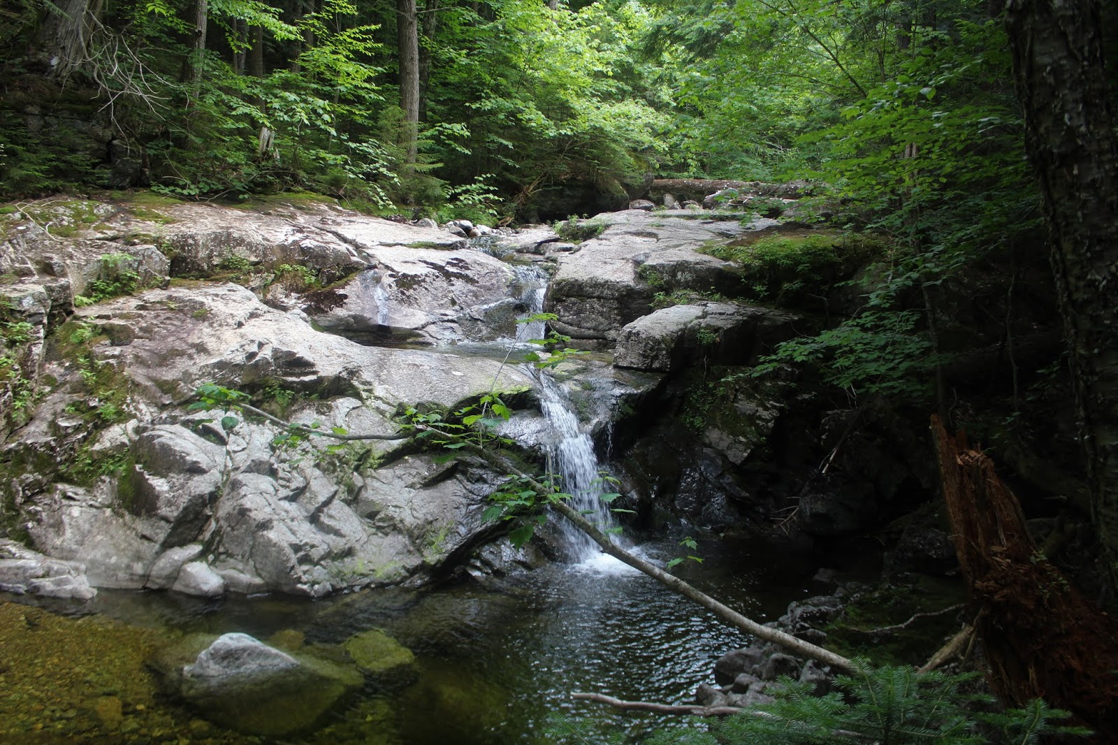
From Elk Pass, it was a long, drawn out, rocky and steady descent north along the Gill Brook Trail. There are numerous waterfalls and cascades along Gill Brook, as well as places to dip your feet or jump in.
We were quite tired by this point of the hike, so enjoyed a couple of photo ops along the brook, before eventually hitting Lake Road and following it all the way back to the car.
A very long, but fun day exploring in the high peaks. About 14.5 miles RT and 4350 feet of ascent.