Search This Blog

Tuesday, June 7, 2022

Plattekill Mountain(Indian Head Wilderness-Catskills)

Headed down to the Catskills today to revisit 3100 foot Plattekill Mountain, one of my favorite Catskill Hundred Highest peaks that I had climbed previously.  I parked along Platte Clove Road at the Catskill Center trailhead(Elevation 1872 feet) and set out south, first briefly stopping to check out Old Mills Falls just off trail.

Took the trail south for a bit, before picking up an unmarked but obvious foot path east to a terrific view directly over Platte Clove. 

 Some stone furniture near a quarry along the edge of the steep escarpment ledges, a short distance from the viewpoint. 


Back on the trail, and I will admit that I haven't hiked many Catskill trails lately, and my feet forgot just how rocky some of them are.  This trail actually follows the Old Overlook Road which provided access to multiple quarries near the escarpment.

 Approaching the Devils Kitchen Lean To.

The Devils Kitchen Lean To, which was unoccupied. 

Beyond the Lean To, the trail climbs steadily for the next 7/10 of a mile to a trail junction.  From there, a short yellow marked spur trail heads over to Codfish Point, which is an old quarry with great Hudson Valley views to the east reaching far and wide. 

Back on the main trail, a small, almost unnoticeable herd path soon heads off to the right(west) and begins to climb up Plattekill's NE ridge.  Once on the herd path, it's very easy to follow, ascending steadily.

From yet another old bluestone quarry, stone furniture make for a nice resting spot and a view north towards Roundtop and Kaaterskill High Peak.


A short distance past the quarry views, around 2850 feet, the herd path ends and the true bushwhack begins.  This time of year that means fern glade whacking.
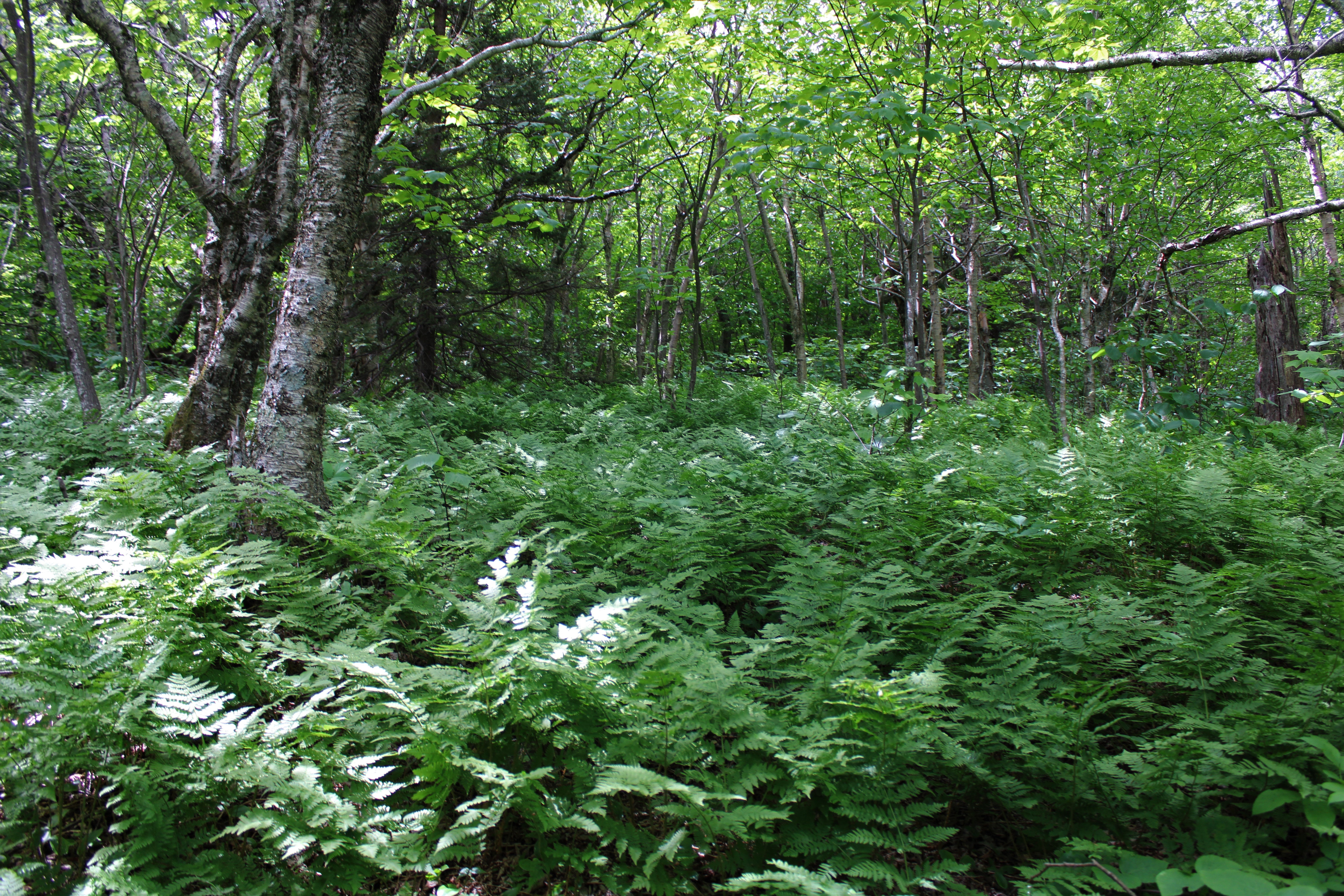
A short bushwhack of about 1/4 mile brings you to the summit ridge, which gets a bit thick with conifers, but a decent herd path now makes it easy traveling.  The wooded, nondescript 3100 foot summit is just as I remember. 

From the summit, I headed basically due south through the open woods and then contoured along a steep set of ledges around 2925 feet, hitting the wide open ledge I was shooting for.  This open perch offers a spectacular view out over Echo Lake and towards neighboring Overlook Mountain.

From another nearby viewpoint, a great view takes in a multitude of Catskill peaks to the SW, with Cooper Lake in the center.  The Burroughs Range is on the distant horizon.

Pretty in pink..these wild azalea were POPPING!

After enjoying the views, an easy bushwhack over the summit ridge brought me back to the herd path and then down to the marked trail.  Clouds continued to thicken but the rain held off as I made my way north to the car.  This tree was all tied up as I passed by!

Hiked a very pleasant 6 miles RT, with 1500 feet of combined ascent for the day.  Saw several other folks out enjoying the trail, but none on Plattekill Mountain.


Saturday, June 4, 2022

Chatiemac Cliffs aka Gore Mtn's SE Shoulder(Siamese Ponds Wilderness-Adirondacks)

Headed into the Central Adirondacks on a picture perfect early June afternoon to try to locate a set of cliffs on Gore Mountain's extreme SE shoulder.  In recent years the cliffs have become a popular rock climbing destination but are still not well known to the general public or even the hiking community.  I parked at the trailhead for Second Pond off of Chatiemac Road, where there is room for about 3-4 cars.  There was one couple leaving as I pulled in, but otherwise I was blessed to have the woods to myself.  Elevation to start was 2280 feet as I set out on the yellow blazed Second Pond Trail.  

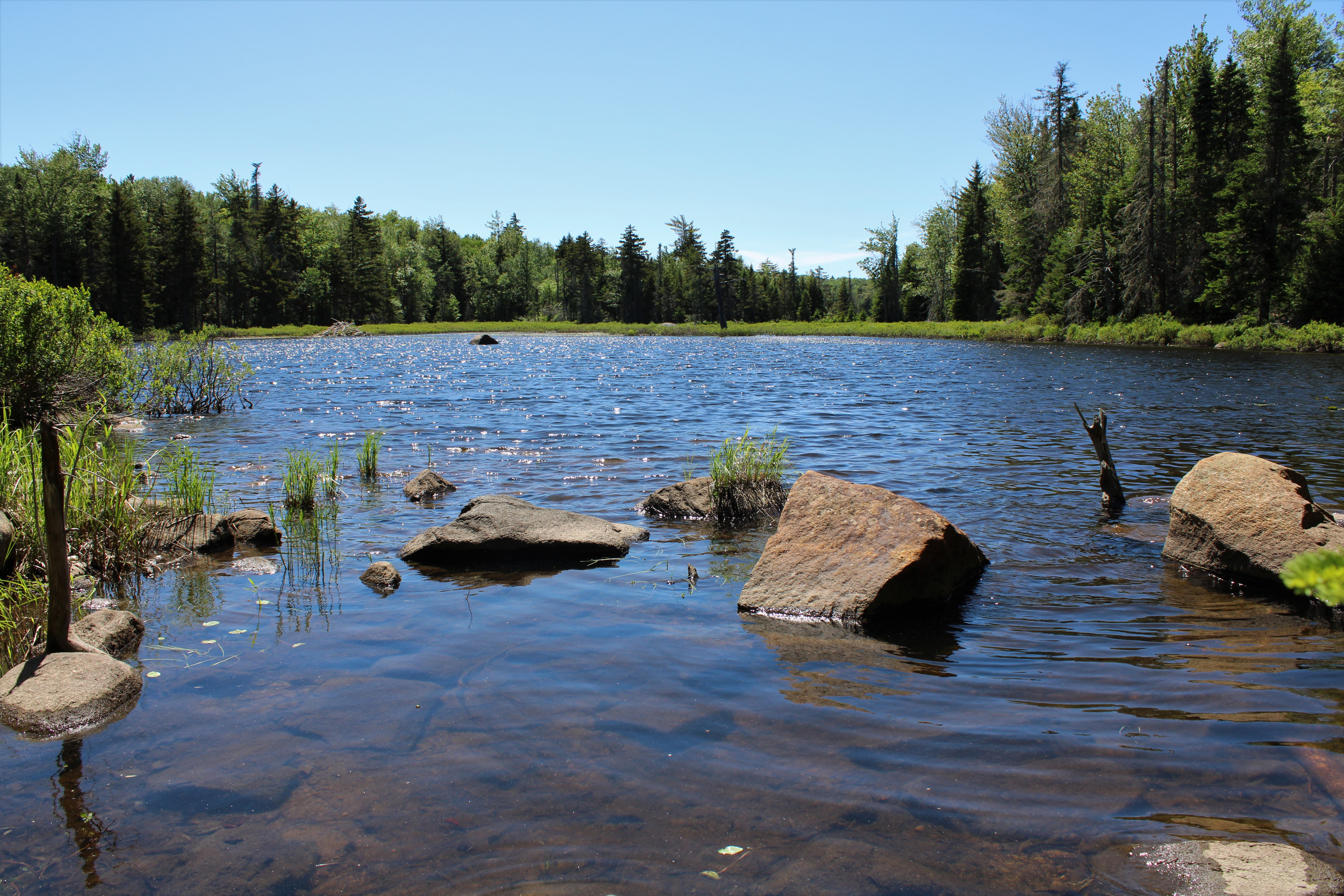
Just a couple minutes into the hike, the trail crosses Chatiemac Brook and provides nice views out across a beautiful beaver pond, which is actually attached to Chatiemac Pond.


I hiked the trail for about 2/3 of a mile before leaving the trail and beginning my bushwhack.  A short distance into my bushwhack, I picked up a pink flagged herd path, which I assumed was made for rock climbers heading towards the same cliffs I was heading to, so I followed it.  The path was mostly clear and easy to follow, crossing Black Mountain Brook as it headed east.

As suspected, the herd path leads directly to the base of the cliffs, which are VERY impressive and much larger than I thought they would be. The path skirts its way around the edge of the cliffs, which sprawl out quite a ways, offering no way up(other than rock climbing)so I headed back to a more suitable spot. 

A steep but fun scramble up a chute brought me to the first set of open ledges, which offered up spectacular views and was well worth effort.  Emerging from a hand over hand crawling climb, I found early views of neighboring Height of Land Mountain.


Although the elevation at the ledges was just over 2400 feet, the views are truly outstanding.  The long ridge of Eleventh Mountain rises impressively to the south.

Broad views stretching out towards Huckleberry and crane Mountains with Windover Lake and Edwards Hill in the foreground.

After enjoying the initial views, I continued to ascend through scratchy spruce and cliff bands making my way over to another sweet set of ledges. 

Views from ledges from over 2600 feet looking at Height of Land Mountain(Right), and Eleventh Mountain(left).

Eleventh Mountain once again.

Ledge views.
After enjoying the great views, I had to carefully make my way down through the dead spruce and steep slopes.  Luckily this didn't last too long.
After the steep drop, the terrain eased up and the woods opened back up, turning much more deciduous as I eventually made my way back down to the DEC trail.  Interestingly enough, the pink flagging and herd path doesn't go all the way to the marked trail.  

Made a short detour to a large, scenic beaver meadow on Black Mountain Brook that sits just a short ways off trail.


 A short walk on the trail brought me back to car for a nice and easy 3.3 miles RT, with about 800 feet of combined ascent on a gorgeous late spring afternoon!  The breeze actually kept the bugs away too!

Map below. Blue P=Parking  Blue X's=Views


Thursday, June 2, 2022

Twin Ponds via Taconic Crest Trail(Pittsfield State Forest-Berkshires)

Did a quick after work hike to Twin Ponds and Cranberry Pond in the Pittsfield State Forest, utilizing the Taconic Crest Trail and the Taconic Skyline Trail.  Parked at the southern starting point of the Taconic Crest Trail along Route 20 in Hancock(Elevation 1480 feet) and set out under humid but manageable conditions.

Typical gorgeous section of the TCT through fern glades.

Hopped over to the nearby Taconic Skyline Trail briefly to visit Cranberry Pond.

Just a bit further north of Cranberry Pond is "South" Twin Pond, which actually requires a short bushwhack to get to.  This is the larger of the two ponds and has a resident beaver as well. 
A very short detour back to the main trail brought me over to "North" Twin Pond.

The Taconic Crest Trail literally brushes right up to "North"Twin Pond's shore and also marked my turnaround point.

Made a new friend on my return hike back to the car. 

A bit sticky, but not too bad 3.5 miles RT and over 600 feet of climbing. 
 

Tuesday, May 31, 2022

Lye Brook Falls and Lye Brook Peak Rock Slides(Lye Brook Wilderness-Vermont)

Headed up into the Green Mountain National Forest in Vermont to do a little part trail/ part bushwhack exploring on a hot, summer like day.  My goal was to hike via trail to Lye Brook Falls, which I had previously visited, and then bushwhack up to a couple of large jumbled rock slide areas higher up the peak.  Got an early start in an attempt to beat the heat and arrived at the trailhead at the end of Glen Road just after sunrise.(Elevation 780 feet)

The trail is pretty straightforward and follows an old railroad line and woods road as it slowly gains elevation heading generally south.
After about 1.8 miles, the trail to the Falls splits right and descends a bit over 4/10 of a mile down to Lye Brook Falls.  This is truly a majestic site and it was a pleasure to have the 125 foot falls to myself!
After enjoying the falls, I backtracked about 1/10 of a mile to the site of a huge destructive slide that dates back to Tropical Storm Irene in 2011.


After surveying the slide area, I decided to give it a go, climbing steeply up and being careful to keep good footing along the way.  The neighboring unnamed ridge line to the west blocks any potential views however.  After reaching a point where the slopes became too steep and slick, I dove into the woods, continuing my ascent.

Climbing east, my route soon came to the Lye Brook Trail at about 1800 feet, which I crossed over and then continued to bushwhack NE towards the rock slides I was looking for.

The woods were mostly open and easy to navigate and soon enough I arrived at the base of the first area of loose boulders, which was actually a bit broader than I thought it would be.


Pinksters were abundant on this peak and are one of the prettier spring wildflowers in the mountains(IMO).

Although sitting at 2100 feet, the views from the first rock slide area of jumbled boulders are decent but limited.  Here's a peek south towards the ridge called "The Burning" on topographic maps.

From the higher area of rock slides, I dropped NW down to below 1800 feet and a killer view spot.  From an area of very steep, white rocks, the terrain drops off significantly.

Great views open up to the north from here, taking in (L-R) Owls Head, Mount Aeolus, Dorset in the distance, Mount Tabor and Styles Peak.

To the NW, reaching across Manchester, the far north end of Mount Equinox ends at Mother Myrick on the left and Mount Aeolus on the right.

More azaleas(pinksters) near the view point.

A short but steep bushwhack brought me down to the marked trail, which I followed back to the car, narrowly beating the incoming crowds.  Only passed a couple of small groups on the trail, but two more carloads were arriving as I packed up my car to leave.

Hiked about 5.5 miles RT, with 1600 feet of total ascent.

Map Below.  Blue P=Parking  Blue X=Falls  Black X's=Ledges