Search This Blog

Tuesday, August 29, 2023

Berlin Mountain via Comstock Hollow Road(Town of Berlin, Rensselaer County)

Same mountain-different route.  Today's theme was to try to put a new spin on a mountain I've climbed numerous times before, utilizing a new area of State land.   The new area connects Berlin State Forest with the Taconic Ridge State Forest from Comstock Hollow Road on the steep west slopes of Berlin Mountain.  I drove a little ways down the rough dirt road and parked at a Berlin State Forest DEC sign, where a forest road heads north(Elevation 1230 feet).  From there I walked scenic Comstock Hollow Road east for 1.3 miles, with the main Taconic Ridge just ahead in the distance.

The road is pretty rough but driveable for quite a ways if you have something with high clearance and 4 wheel drive.

Atfter about 1.3 miles, in a small clearing I found a nice view of one of Misery Mountain's west ridges high above to the south.

Just after that clearing, the road drops into an overgrown area of brush and prickers, but an alternative road swings north into the damp woods,  I followed this woods road around a drainage and then UP.

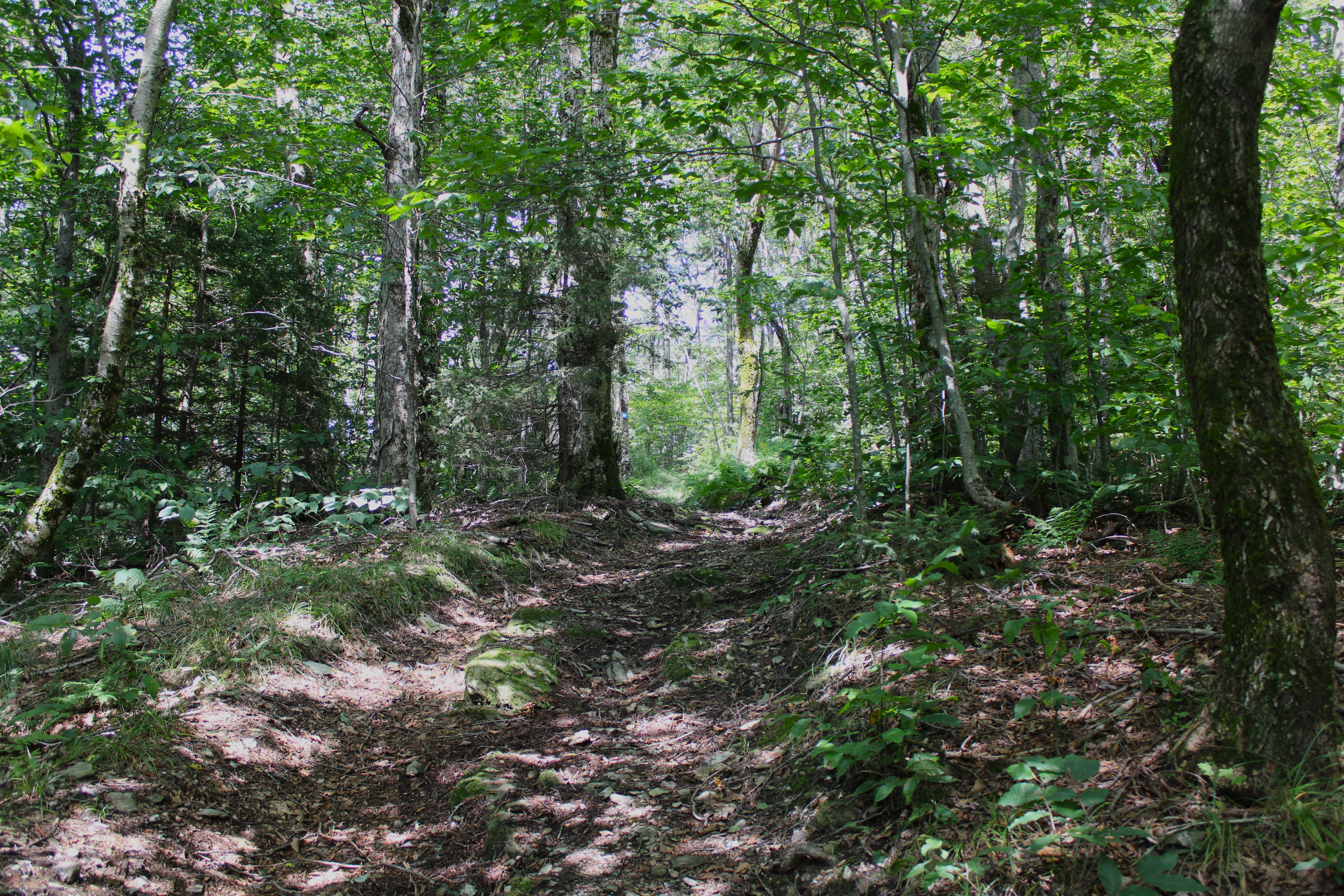
The woods roads I followed were in remarkably good condition, but as I climbed the wide road petered down into more of a wide foot path.

At just over 2000 feet in elevation, the trail turns sharply in a deep cirque and crosses state lines into Massachusetts.  The only signage I could find was a blue forest boundary marker though.

Once into Massachusetts, the ascent becomes even steeper and more chock full of blowdown and brush, but at around 2330 feet I finally hit the top of the ridge, quickly picking up the well marked Taconic Crest Trail.

Once on the TCT, it was easy going, cruising north along the ridgeline, steadily making my way up towards Berlin Mountain.
After passing through open hardwoods and several large swaths of fern glades most of the ridge, the character of the forest changed drastically to dark and coniferous just below Berlin Mountain's summit. 

Emerging from the dark conifers to Berlin Mountain's wide open, sunny summit.

Berlin Mountain's 2818 foot summit.  This is the highest point in New York outside of the Catskills or Adirondacks.

The view from the summit used to be better, but tree growth has impeded on this resulting in okay views east towards the Greylock Range.

For my descent, I decided to try to follow an old woods road directly west off the summit towards Cowdry Hollow, but quickly lost it and ended up in a sea of ferns.

I did my best to find the woods road, but decided instead to simply bushwhack down the mostly open slopes.

While making my way west down the ridge, I came to a pretty little 2050 foot summit bump filled with more ferns.

In a brushy clearing, filled with pricker canes, I was able to find what I would surmise to be a better view with the leaves off west at an unnamed summit bump.

A steep drop brought me back down to Comstock Hollow Road, which I followed west all the ay back to my car.  A nice and easy 5.5 miles RT, with 1600 feet of ascent.


Map below.  Red P=Parking   Red tracks=Ascent  Blue tracks=descent


Monday, August 28, 2023

Kinderhook Creek Preserve(Town of Nassau, Rensselaer County)

Got out for a short walk for the first time in nearly three months this morning and boy did it feel nice.  Visited the Kinderhook Creek Preserve and covered many of the trails that meander throughout these woods under slightly humid conditions, covering a little over 2 miles RT.


Tuesday, June 6, 2023

Valentino Community Forest(Town of Grafton, Rensselaer County)

My second stop of the day was the brand new 416 acre Valentino Preserve, located off of Stuffle  Street in the town of Grafton.  The Rensselaer Plateau Alliance has done a spectacular job here, from the trail work all the way down to the parking lot and restroom/ map at the trailhead.  From the parking area, I followed the white blazes of Josh's Jaunt, which drop down through the woods and then closely follow a small, rocky stream.  

The white blazes are replaced by yellow as the trail crosses the stream on a well built footbridge.

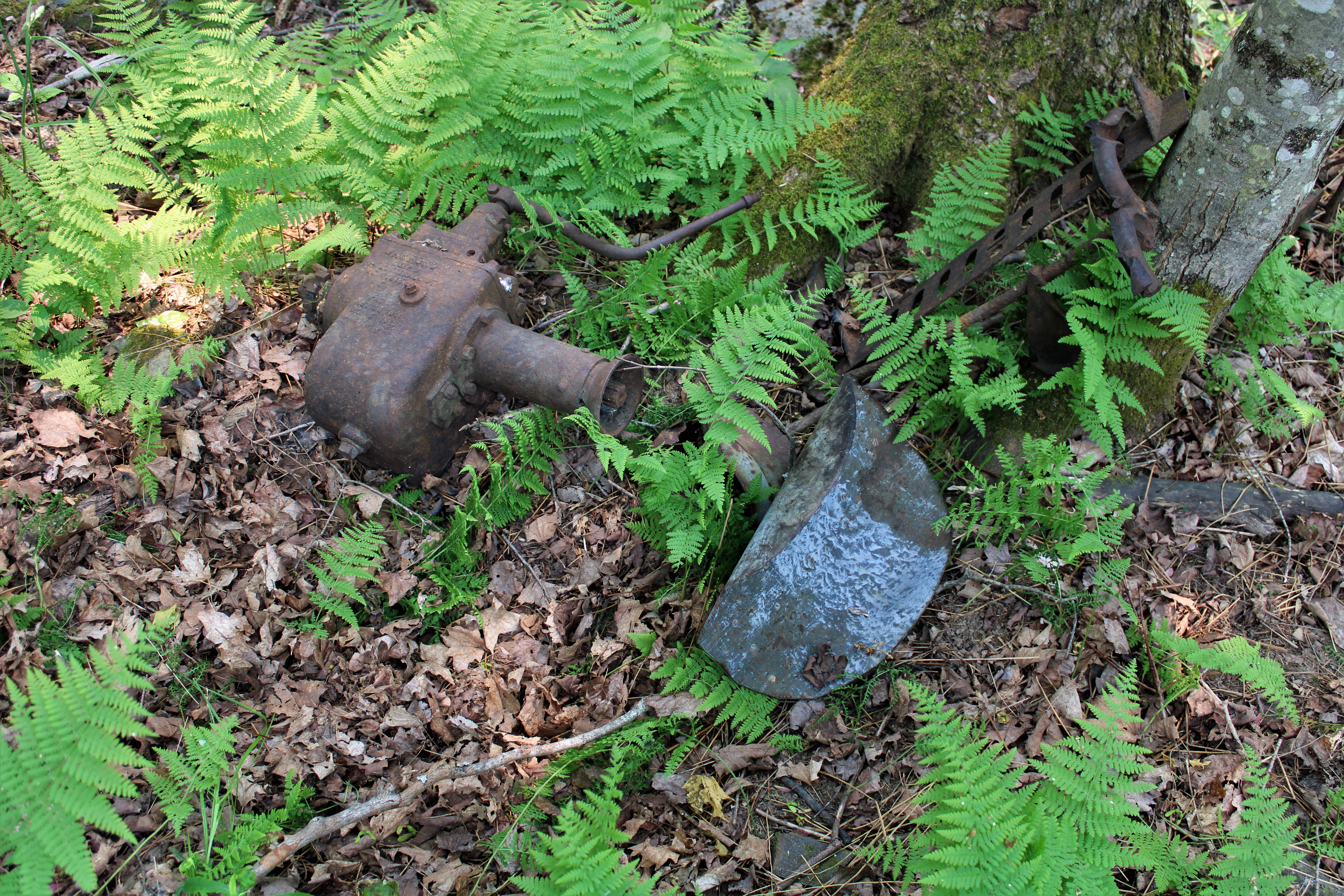
Along the way, I spotted numerous old, rusted remnants from previous generations.

Breaking away from the yellow trail, I picked up the red blazes of Sophie's Knoll Trail which climbs south up through fern glades and passes by an old sugar shack along the way.

Sophie's Knoll Trail runs just over a mile, before eventually dropping back down to the yellow blazes of Sam's Shore Trail.  Sam's Shore Trail provides up close views of Beaver Dam Pond, which was sitting under a thick haze of smoke from Canadian wildfires.
Gorgeous wildflowers dotted the shorelines.

A newly constructed Lean To sits along the yellow trail, back a little ways from Beaver Dam Pond.

From the yellow trail, I continued east/ northeast to the white blazes of Josh's Jaunt again.  I followed this around another beaver pond, making a large loop around to the north side, where I stumbled upon some old 19th century foundations in the woods.

The second beaver pond, a bit further east, has much less water and was engulfed in more of that thick smoke from the wildfires.

Much of these trails follow old, handsome woods roads.

More rusted tools just off trail.

Looped back west onto the yellow and white trails all the way back to the car, completing about 3.7 miles of easy, but pleasant hiking at this brand new gem.


Barberville Falls Preserve(Town of Poestenkill, Rensselaer County)

Got out for the first time in what seemed like ages this morning and visited a couple of Rensselaer Plateau Alliance properties. My first stop was Barberville Falls Preserve, which I've visited many times previously, and was shocked to have the woods to myself.  The 92 foot falls dazzled as usual, even with a low water volume flowing down.

Can't recall seeing the Poesten Kill this low too many times before. 
Wandered the various trails at the preserve, enjoying the solitude of the woods.  The peace and quiet was interrupted briefly when a coyote wandered quite close to me(about 20 yards away).  This was a first for me, as I had never seen one while out hiking.  What a rush!
Covered about 1.8 miles total at this beautiful preserve.
 

Friday, May 19, 2023

Seventy Mountain, Bald Peak and Slip Mountain(Jay Mountain Wilderness-Adirondacks)

Headed up into the northern Adirondacks to do some off trail exploring to a trio of beautiful peaks in the Jay Mountain Wilderness.  On a previous visit to this area, I had bushwhacked the spectacular peaks east of Seventy Road, which had provided great views and had left me wanting more.  Lucky for me, there are a series of peaks that rise west of Seventy Road as well, that all thankfully sit on state land.  My itinerary for the day was to hit the peaks north to south, starting from 2220 foot Seventy Mountan, then on to 2325 foot Bald Peak and finally 3330 foot Slip Mountain(MacDonough).

Parked at the very end of driveable Seventy Road, in a small DEC parking area(Elevation 1540 feet) and headed west into the woods, hugging a small, pretty brook on my ascent.

Spring wildflowers are blooming and abundant, including this painted trillium.


The ascent was pretty straightforward as I headed high up into the deep notch between Bald Peak and Seventy Mountain. Once in the top of the notch, it was an easy stroll through open hardwoods to Seventy's summit, which sits unassumingly in the only patch of spruce on the summit ridge.

While the summit of Seventy Mountain is nothing to write home about, its SE facing ledges are nothing short of awesome.  Great views to be enjoyed from a long set of open rock towards nearby Fay Mountain to the east.

To the south, my route for the day can be almost made out, with Bald Peak in the foreground and a shoulder of Slip Mountain beyond.


Most of the woods are open and deciduous, making navigation pretty easy.  This is a small drainage crossing on my way up towards Bald Peak.


Bald Peak was certainly the highlight of this day, with numerous open rock slab views along much of the way.  Here is a great look back NE towards Seventy Mountain(left) and Mount Fay(right).

South facing views stretch far and wide!

Arriving at the summit of Bald Peak, which is really just a  rocky knob along the way.


Just off the summit of Bald is an area of cliff bands and open rock, with more great views.

While not 100% open, it's pretty darn close-and the views are hard to beat.  Here's a look west towards Jay and Death Mountain, both part of the Jay Mountain Wilderness.

The million dollar view of Slip Mountain's ridge, rising above to the south.

After a careful descent around Bald Peak's cliff bands, I slowly made my way up Slip Mountain, garnering this spectacular view back at the rocky knob summit of Bald Peak.

Further up the ridge, the views open up more and more, once again towards Mount Fay, but now with Lake Champlain in the distance beyond.

There were several different spots to enjoy a view of Slip Mountain's summit along the ascent, such as this one from less than half a mile away.
The climb was steadily steep, but nothing relentless with incredible views all around.

A final steep climb up through a dark conifer forest brought me to the summit, which sits in a moss covered rocky clearing.

A short distance south from the summit is a nice view SW towards the High Peaks, complete with a fire pit.
After enjoying the abundant views, I finally headed back towards the car, following the ridge north to a spot where the slopes ease up just a bit, allowing for a nice descent through an open hardwood forest.

Another spectacular day in the Adirondack wilds, covering 5.7 miles RT, and 2000 feet of combined ascent(all bushwhack).  

Map below.  Red P=Parking   Red X's=Summits Hit