The official trails do not begin until after you hike down the road about .15 of a mile past the parking lot.
The trail begins as an extension of Sanctuary Road just past a gate. A short distance in, you will arrive at an informational board with trail maps.

Several smaller trails branch off to the north, but I stayed on Sanctuary Road. I soon arrived at this eerie, large, old, white oak tree.

After a little less than a mile of easy hiking, I arrived at The Ledges. From this rocky perch, there are panoramic views of the Deerfield River Valley as well as Shelburne Falls.

There were a few other people out on this muggy morning, but I was lucky to relax alone on the ledges alone for about 20 minutes, soaking in the views.

A very interesting, large stone fireplace is found right next to the High Ledges.


Built in 1909, the rock tower has a "medieval" feel to it.


The view back north past the trail I had just walked up towards the High Ledges ridgeline.

Even with an elevation of 1588 feet, there are no views from the ground, so you must climb the tower for any views. Here is a great vista to the south with clearing skies above.

Hung out for a few minutes before retracing my steps back to the car. Hiked about 3.2 miles RT under very humid conditions. After grabbing some lunch, I began heading back home and ran into some storms. I decided that I'd make a side trip north to the ruggedly handsome Deerfield River where it winds down through the steep Zoar valley of the towns of Florida and Charlemont.

There are many formal and informal access points along this stretch of the river.
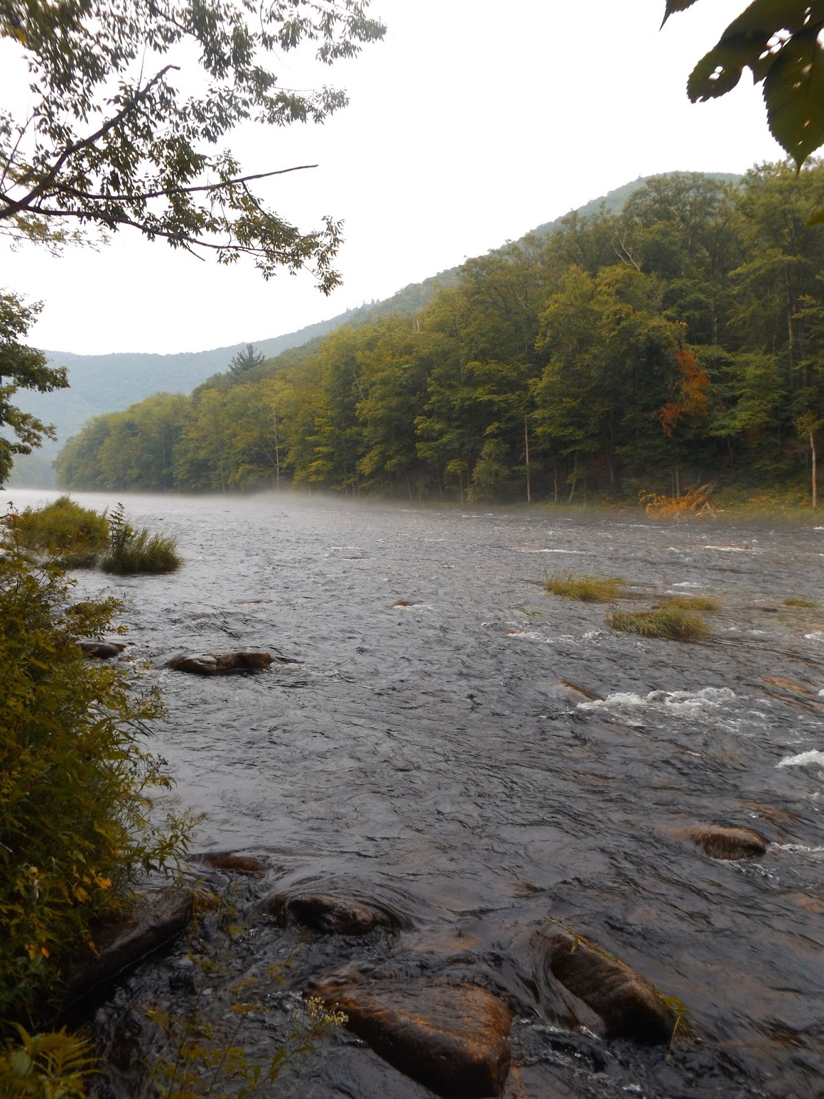
This river is well known for its incredible fly fishing as well as whitewater rafting and tubing.

Explored some of the areas along the Deerfield's quiet shores until the rain became quite heavy and chased me back to the car.
No comments:
Post a Comment