A short distance into the hike there is a brook crossing. Even after a night of heavy rains, Haley Brook is easily crossed here.
Crystal clear waters of Haley Brook.
The trail soon begins to climb steadily on a wide, easy to follow trail marked in blue blazes.
This section of trail is easy climbing on a gentle grade, with the sounds of the small stream rushing below.
As the steady ascent continues, there are broken views through the trees that open up to the east.
The trail gets even steeper for a bit, where my GPS marked it as a 33% grade.
East views over the valley.
After 2 miles, I arrived at Berlin Mountain's uniquely open 2818 foot summit. There are nice views east towards the Greylock Range from here.
Brodie Mountain's wind farm to the southeast.A front was pushing through as I was on the summit, meaning very strong winds and thickening storm clouds moving in.
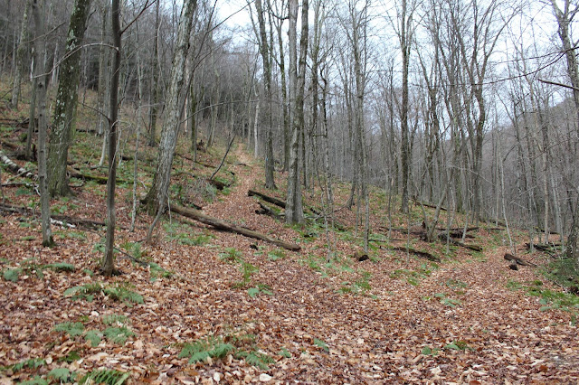
A gradual loss of elevation on the mellow trail.
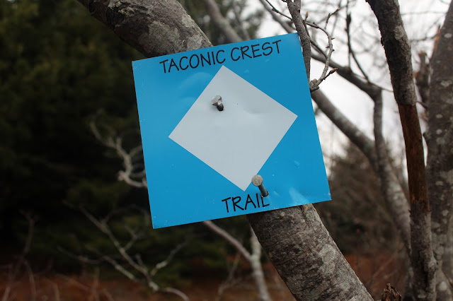
After 1.2 miles on the Taconic Crest Trail, I arrived at a trail intersection From here I took a right onto the Berlin Pass Trail.
The steep descent off the Berlin Pass Trail, which was an old road back in the 19th century.
A large puddle, created by off road vehicles marks the end of the Berlin Pass Trail.
Emerging from the trail into a large parking area, which is actually the very end of Berlin Road. This was the old parking lot for the Williams College Ski Area.
Looking directly up the very steep abandoned Williams College ski slopes.
Took the blue marked WRLF trail back towards the car. It heads east, well above Haley Brook flowing below. At the first trail junction, I took a left towards the brook. After crossing the brook, the trail meanders through hardwoods before arriving at a small wooden viewing platform. From this spot, there are great views of a beautiful waterfall on Haley Brook. After enjoying these views, the trail heads back up through the woods and soon arrives back at the parking area.
Hiked 4.7 miles RT. Although under 3000 feet, the ascent of this trail was quite challenging. A little known fact about Berlin Mountain is that it is the highest summit in New York State outside the Catksills and Adirondacks.


No comments:
Post a Comment