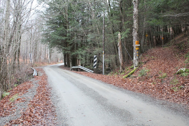
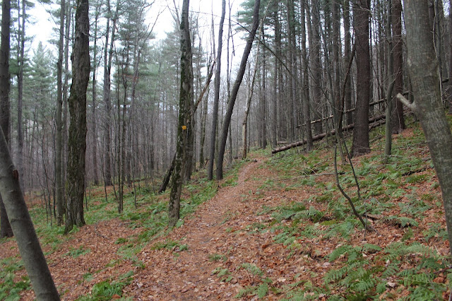
After signing in at the trail register and initially along a pine covered trail, the trail climbs steadily up through a mostly hardwood forest, marked with yellow DEC discs.
The cloudy, rainy weather gave the forest an eerie feel as I continued on.
Passing through a hemlock grove.
A somewhat foggy view to the north with one of the many shoulders of Misery Mountain rising above.
The trail is very mellow for quite a ways and makes for a nice, easy walk.
After about 1.4 miles, I arrived at the well known falls on Kronk Brook. This is a very picturesque spot and makes for a nice place to stop and rest.
A view to the south at another of the many ridges of Misery Mountain.
The trail is actually an old road and is wide and easy to follow.
Continuing further into the hollow.
After 2.1 miles, I arrived at the state line, marked with a 1898 stone.
Recent rains have water flowing down the steep hillsides on several small tributaries along the way.
Kronk Brook is almost a constant trail companion, with many cascades along the way.
More nice cascades.
At about the 2.3 mile mark, the trail gets very steep and continues that way until it reaches the ridgeline. This steady climb offers interesting glimpses directly into the foggy hollow.
The final push to up to the Taconic Crest Trail.
Arriving at the Taconic Crest Trail, marked with blue discs and white diamonds, means the official end of the Mattison Hollow Trail. My GPS marked this trail junction as 2110 feet in elevation and 2.75 miles of hiking, although the trail register says only 2.6 miles.
Retracing my steps back down into the hollow as the wind and rain really began to pick up at this point.
The sounds of rushing water on Kronk Brook as I continued along.
Darkening skies and wet woods.
Although it was only about 3:30pm, the early sunset and stormy weather had the woods looking awfully dark.
Arrived back at the car soaking wet, but feeling good. Hiked 5.5 miles RT and about 10.2 total for the day between two stops.


No comments:
Post a Comment