Had a beautiful day in front of me and the entire day free so decided to fully explore the Mount Greylock Reservation in the heart of the Berkshires. Mt Greylock is the highest summit in the entire state and offers nearly 43 miles of trails within its boundaries. I got started in South Williamstown on the Roaring Brook Trail located off dead end Roaring Brook road. The trail closely follows the brook for a ways.
Roaring Brook is a beautiful mountain stream.
There are three foot bridges over Roaring brook's lower reaches. Here is the first. Notice the beautiful morning sunshine breaking through the trees.
The second foot bridge, which looks to be either new or recently repaired.
The trail climbs steeply and steadily for a little over a mile and a half before reaching the Deer Hill Trail. Climbing steeply down this trail for a half mile brings you to the beautiful Deer Hill Falls.
The recent rains have left sufficient water to provide a very rewarding view.
This waterfall is actually part of Roaring Brook's upper reaches.
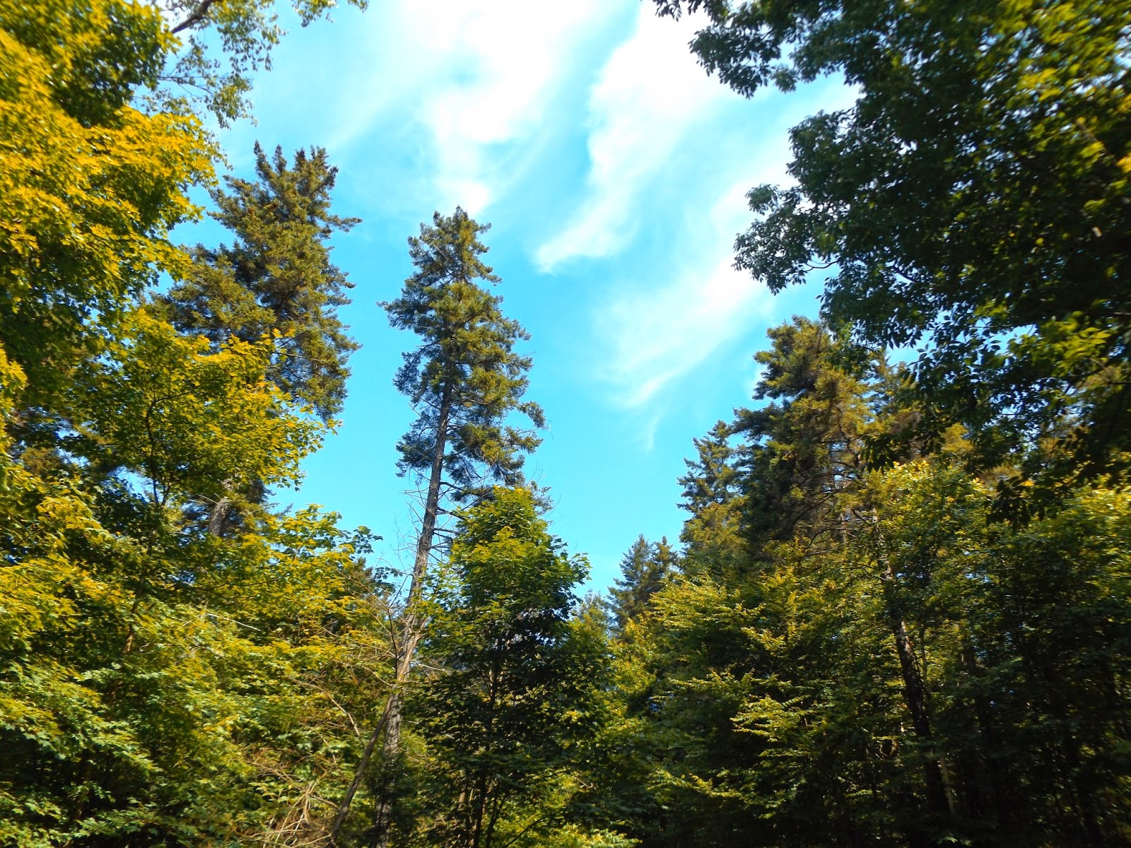
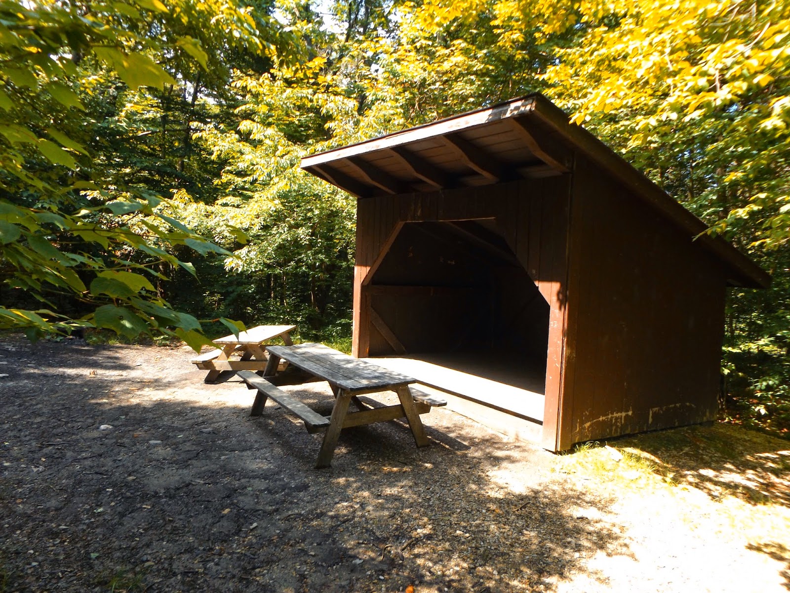
After leaving the falls and climbing back up the steep half mile trail, I followed the Roaring Brook trail until its end. It comes out at the Sperry Road campground with several campsites, lean tos and restrooms. This was also the first chance I had to see the blue skies, after all woods walking.
A handsome lean to at the Sperry Road campground.
After wandering around the campsites and finally locating the March Cataract trail, I followed it for about .8 of a mile to the falls. The last .25 mile of this trail was very steep but again lead me to a beautiful 3o foot waterfall.
March Cataract is part of Hopper Brook and is the premiere falls at the Greylock Reservation.
Directly under the falls.
Retraced my steps back to the campground and then eventually down the Roaring Brook Trail. Here is another shot of the crystal clear mountain waters of the Roaring Brook.
It was still early so I got in my car and drove down into Lanesborough and took Rockwell Road, the Mt Greylock access road. Here is a rural view approaching the Visitor Center near the entrance.
Rockwell Road leads all the way to the summit and provides access to many different trails as well as amazing views. Here is a view to the west from a small pull off.
I pulled into the Jones Nose parking lot which provides access to a couple of different trails. I chose to hike up through the open fields to Jones Nose and Saddle Ball Mountain. The trail winds through beautiful open meadows on its way towards Jones Nose, a prominent feature of Saddle Ball's southern slope.
Gorgeous day and open meadows.
Hiking up the wide open trail towards Jones Nose.
A small path leads to a view back to the south and west. Here is a clear view of Brodie's wind turbines.
A panorama from the fields on the Jones Nose trail.
Looking directly up at Jones Nose.
Once entering into the woods, the trail begins to climb steadily for much of the way. After nearly a mile of climbing, a rocky clearing provides a scenic view south and west. Brodie Mountain's slopes are clearly visible once again.
Brodie Mountain stretches for quite a ways as seen here, as well as New Ashford farmland.
Pittsfield's Pontoosuc Lake and Onota Lake are visible to the south.
A closer look at Brodie's abandoned ski slopes, wind turbines and the rural New Ashford.
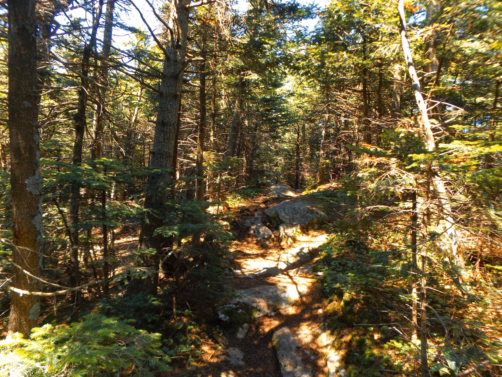
Once leaving the lookout, the trail soon enters a mixed forest of spruce and hardwoods.
After joining the Appalachian Trail, I actually walked south for a short distance to another great view, this one to the east.
Many distant peaks can be seen from this vantage point as well as the southern part of the town of Adams.
Continuing on the AT north towards Saddle Ball Mountain's true summit lead me through a dense balsam fir forest.
Saddle Ball's summit is actually along ridgeline that runs for a couple of miles. It is almost entirely made up of a ruggedly handsome balsam fir and red spruce forest.
A look at the rock cairn marking Saddle Ball Mountain's summit. At 3,238 feet this is the second highest peak in the entire state of Massachusetts, in back of only Greylock.
This is the view from the summit. Very thick spruce and no views.
The rock cairn marking the high point.
Hiked back down the steep slopes towards the Jones Nose parking lot, passing a couple of thru hikers on the way. Here is a view south and east past the beautiful wildflowers near the car.
For my final hike of the day I drove up to a parking lot that left me about a mile south of Greylock's summit. I would be hiking the AT up from here. After a short distance, a partial view of the summit TV tower and War Memorial Tower can be seen through the trees.
This section of trail crosses the road several times. Continuing on my way.
A gorgeous pond is found a short distance below the summit. This pond was dug out by the Civilian Conservation Corporation in the 1930's as a water supply for Bascom Lodge.
A quiet spot to reflect.
The trail near the top gets very rocky and is tough on the joints,
The TV tower at the summit area.
Paved roads, cars passing and families wandering around the summit area, make it feel anything but natural.
The final push to the War Memorial Tower at Greylock's 3,491 foot summit.
The War Memorial Tower was completed in 1932 and marks the highest point in the entire Commonwealth of Massachusetts.
Views to the east are nothing short of awe inspiring.
A slight breeze and beautiful sunshine made it a perfect place to enjoy the views.
The Hoosac Range(with power lines) as well as many distant peaks stretching as far away as southern New Hampshire.
Looking directly down at the residential streets and houses of Adams.
After leaving Mt Greylock I actually did a short walk along Daniels Brook in the Pittsfield State Forest as well. Overall I hiked about 11+ miles today. What a great day!


No comments:
Post a Comment