Did a couple of hikes in bucolic eastern Vermont today. I have never hiked in this area before so it was a pleasure exploring the backroads and quaint villages in this rural part of the Green Mountain state. My first stop was 1280 foot Black Mountain, located in West Dummerston. The Nature Conservancy's trailhead can be found off of gravel Rice Farm Road, which runs along the scenic West River.
The trail leaves the back area of the parking lot and begins climbing up an open hill with views back down to the road as well as the river.
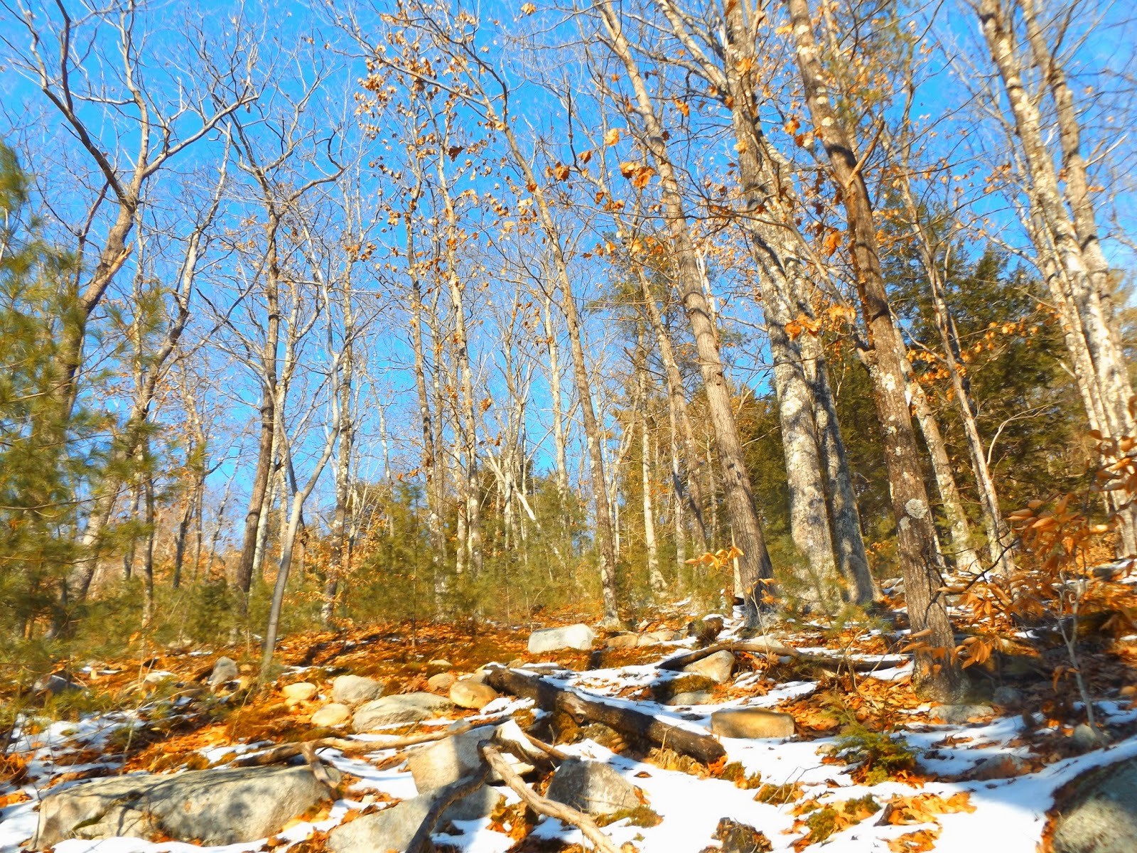
After entering the woods, the trail continues to climb up a gentle slope.
The trail soon passes through a level, straight stretch on the way towards a sign in box.
After passing the sign in box you soon approach a series of boardwalks pass through a wet section of trail.
The sun was shining bright, giving a nice bump to the temperatures.
The trail follows several switchbacks as it climbs up through mostly open woods.
A thriving mountain laurel population can be found atop Black Mountain's summit.
The mountain rises dramatically from the valley floor, offering great views through an opening in the woods.
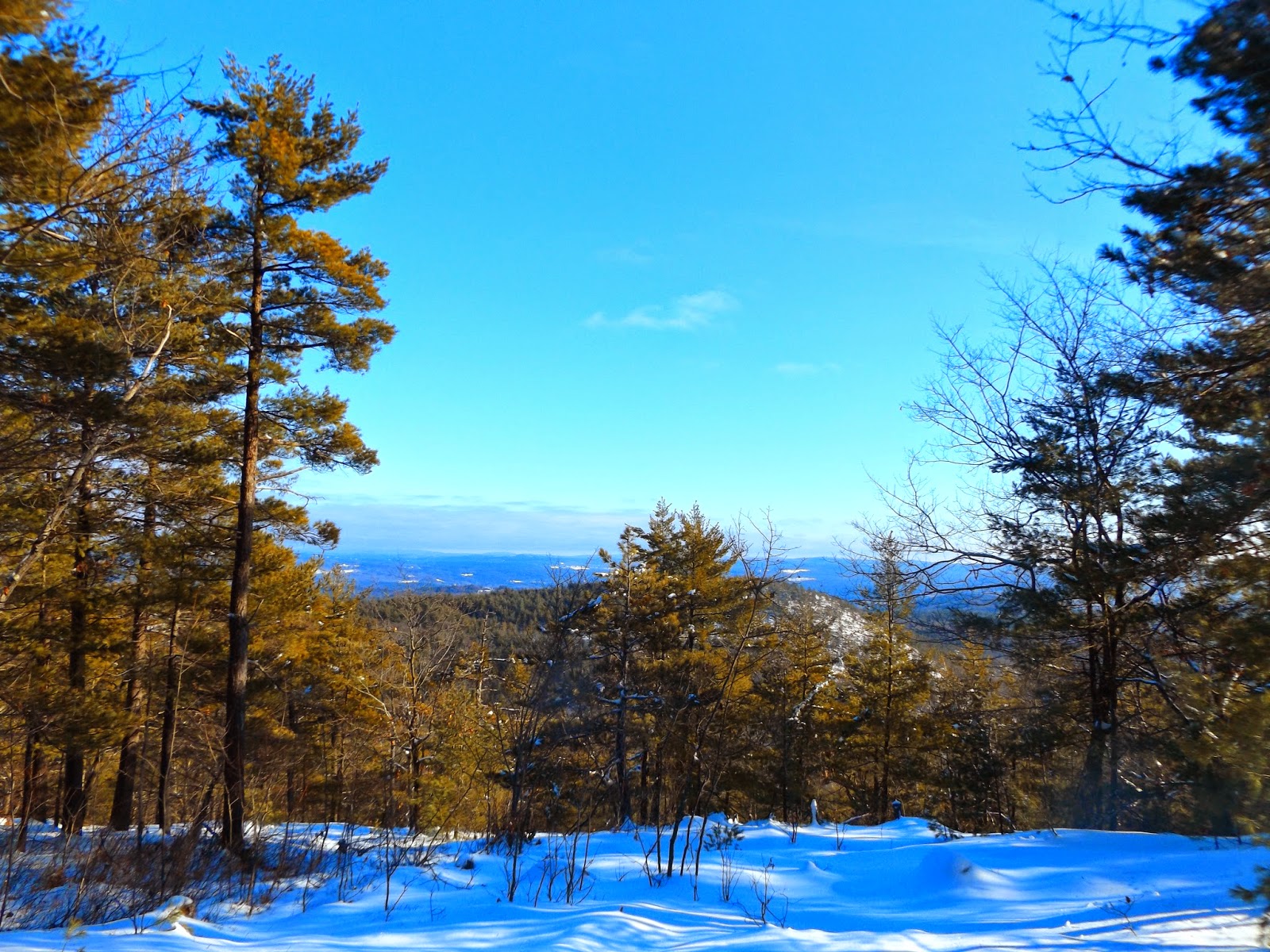
The summit area can be explored with a couple of clearings providing east facing views.
A very small building sits atop Black Mountain's summit. Not exactly sure what its purpose is though.
Looking up towards Black Mountain's summit area.
Another vista near the summit.
A terrific view east with New Hampshire's snow capped peaks in the distance.
The beautiful West River flows just across Rice Farm Road and the trailhead.
Gravel roads can be found throughout Vermont, meaning late autumn through early spring can be icy, snowy or very muddy. Driving these roads during those months can be adventure.
The snow was melting through the day, making the trail's slopes a bit challenging. A nice 2.8 mile hike RT. With a little bit of daylight left, I decided to head just a little north to do another small hike to Putney Mountain. The serene view on the backroads snaking along the West River.
Putney Mountain's trailhead is located high up Putney Mountain Road in the town of Putney. The road can be challenging to drive in the winter, but I made it just fine in my car.
The trail seems to also double as a rough road, with four wheel drive tracks leading in to the kiosk.
The sun was beginning to set as I began my walk. The sound in the woods was unlike anything I've ever heard before. Each and every tree seemed to be covered in a thick coat of ice, which was slowly meting and crashing down.
The Cliff Edge trail winds .7 miles through mostly evergreens, with steep slopes only feet away.
The trees were heavily weighed down all around the woods, combined with blowdown, made it hard to find the trail at times. I decided to forgo the trail and simply bushwhack up through the woods towards the open summit area.
The summit is very open, taking on the appearance of a large meadow.
Looking out over the frozen landscape.
A phenomenal panorama to the west, with Mount Snow, Stratton Mountain, Haystack and dosens of other peaks visible.
A very nice view from Putney Mountain's 1640 foot summit.
This snowman's best days are behind him, but winter's best days are still ahead.
Everything around had an icy appearance, making for a very wintry hike.
I made it a loop hike by returning via the Ridge Trail. Along the way, I passed by the well known "Elephant Tree" landmark.
The trail was actually a dangerous place to be, as branches and ice were falling down all around me. I was just happy to make it back safely in one piece.
A very easy 1.2 mile hike RT, with minimal elevation gain as well, made this more of a walk than a hike, but was still very scenic. Total mileage hiked for the day was 4.0 miles.


No comments:
Post a Comment