With heavy rain knocking on the doorstep this morning, I headed northeast to Clarksburg State Park in the northern Berkshires, one of the only dry spots on the map. The roads and campsites are closed for the season so I parked at the front gate and had the place to myself to explore. I followed the park road west down to the Bullhead Trail, which is just a short excursion down to the park's centerpiece, Mauserts Pond.
Once at the pond, I continued west along the Shoreline Trail, which passes through several damp areas.
A great view east across the pond towards the Hoosac Range and its wind turbines way up high.
Arriving at Lookout Point along the west shoreline. This makes a real nice picnic spot.
The Pond Loop Trail continues past Lookout Point, eventually crossing over Beaver Creek.
More pond views.
Much of the Pond Loop Trail passes over and through wetlands. Thankfully, there are wooden boardwalks to help keep your feet dry.
Passing through more swampy areas.
More wooden crossings.
A view south over a beaver dam and the pond.
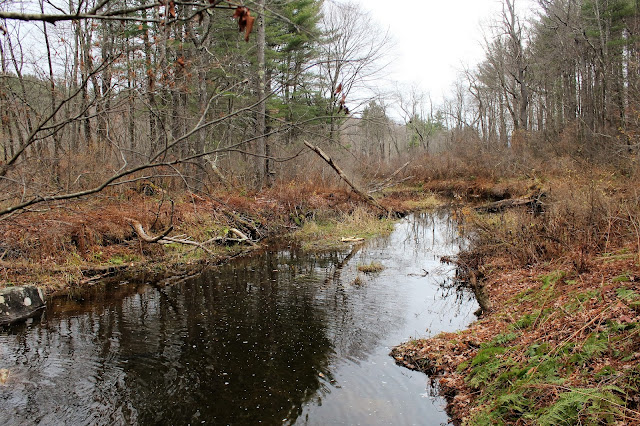
One of the several small inlets winding its way towards Mauserts Pond.
The northwest section of the State Park offers very little in the way of scenic vistas, but the Park Trail and Verrmont State Line trail make for nice hiking through mostly hardwoods.
A small stream crossing on my way north.
A stone wall marks the state line at the very north border of the park.
Arriving at the end of the Vermont Line Trail at Horrigan Road.
The clouds and light rain eventually won out on my way back to the car. Hiked about 3.5 miles total on a gloomy November day.


No comments:
Post a Comment