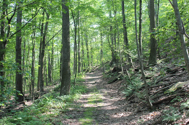
The Columbia Land Conservancy originally purchased 105 acres in 2008 along Carson Road in the town of Ancram before adding an additional 310 acres just north of the original preserve in 2012.
I was the only car in the lot when I arrived and set on the trails, which are mostly mellow and pleasant.
The yellow and green trails both wind their ways around the slopes of the mountain eventually meeting up with a red/purple trail, which heads up to the summit area.
I had previously visited this preserve several years ago in the winter and enjoyed some nice views. Unfortunately, summer tree growth obscured nearly all views, with just a couple of small breaks in the canopy allowing for views to the Taconics.
Wandered down the slopes towards the north end of the preserve, where a blue marked trail and footbridge crosses a small stream.
The small stream was barely more than a trickle during the middle of summer.
I followed the blue marked trail onto the new section of the preserve, which drops down to Catalano Road with some very nice views east to the Taconics. Unfortunately the trail leaves the woods and heads along the road from here before entering the woods again, eventually leading 4 miles north to a network of trails on the slopes of Fox Hill. I didn't really want to do a road walk, so I turned back here, retracing my steps.
The blue trail follows the edge of a steep drop off to the east, where it looked like views were to be had. The tree growth was thick however, so I bushwhacked about 50 yards off the trail and discovered excellent views to the Taconics.
Farmland sitting down in the valley.
Got back to the car and drove north to a rough, grassy parking lot along the west side of Route 22, which allows access to the north trails. I took a blue marked trail, which climbs up the slopes away from the road, passing by handsome old stone walls.
Although high above the valley, there are almost no views at all to be had. A small opening in the woods provided barely a glimpse of the nearby Taconics.
The blue trail heads south to a junction with a red marked trail, which forms a 2 mile loop along the slopes of Fox Hill.
The red trail is wide and easy to follow, following a myriad of old woods roads.
Although it comes close, the red trail never heads all the way up to the summit of Fox Hill. It does, however, make for a very pleasant woods walk through a hardwood forest and fern glades aplenty.
Hiked a little over 5 miles RT on a very nice trail network.


are the fox hill trails new?
ReplyDeleteYes, fairly new, but not a lot to see. Might be some views when the leaves are off the trees. The summit is private which was a real bummer
Delete