With an uncertain forecast for the day, my buddy Jim and I were unsure where to hike and stay dry. We took a shot in the dark and headed north to an area just west of Route 30 near Wells, where the chance for rain was slightly less.
Stopped by in the early morning for a tranquil view of the Sacandaga River near Route 30.
Our goal for the day was a two car traverse from south to north over Southerland Mountain and a couple of small summit bumps east of Rooney Hill. We spotted a car at the end of Hernandez Road, where state land meets the road, then drove to the very end of River Road where the Groff Creek trail begins. This would be our start point for the day at an elevation of about 950 feet.The access trail is actually an extension of River Road and is a very pleasant walk.
Early morning sunshine filtering down through the trees on our rock hop of Groff Creek.
Just a bit past the creek crossing we left the path and began our bushwhack up towards Southerland Mountain.
With all of the recent wet weather lately, the efts are all out enjoying a wonderland of fun.
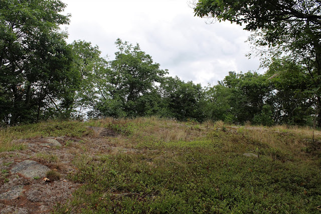
After a steady climb, we soon emerged at the small southern summit bump of Southerland Mountain, and its very nice views.
We watched as dark clouds danced over the summit of Three Ponds Mountain to the west, hoping that they didn't have rain in them. Although only about 1800 feet, this summit provided some very good views.
A second rocky clearing just beyond the first, provided even more open views.
Groff Mountain sitting directly to our south.
A zoom view from Southerland towards Cathead and Litle Cathead Mountains. Cathead's firetower can be seen if you look closely(L).
A small break in the clouds provided a dash of sunshine on Groff Mountain's ridge.
After enjoying the great views for a bit, we finally headed towards the true summit of Southerland. A descent of a couple hundred feet was followed by a stiff climb up towards the top.
Just off the true summit, we spotted a small window north.
The large clearing atop the true 1925 foot summit of Southerland Mountain.
We took a break at the summit, getting a quick bite to eat and ingesting lots of fluids. Although not overly hot, the humidity was still sky high, and we were both sweating like pigs.
After our break, we continued north
We first headed up to the top of what we called SE Rooney Ridge, where we enjoyed a solid view NW. We continued all the way SE to the end of the ridge, before turning back and heading north to the next ridgeline.
The approach to the opening atop Rooney's Ridge. This was the main ridge due east of rooney Hill. Although less than 1600 feet in elevation, this steep sided, open area provided spectacular 180 degree views.
Devorse Mountain standing impressively just to the NW.
North views.
We were both very impressed with the large amount of open area to explore, and the vista provided.
We really enjoyed this spot! Here is Jim soaking in the great view from the open clearing atop Rooney's Ridge.
The
vista on Rooney's Ridge was downright spectacular. We enjoyed these
sweeping views for quite a while. In the distance are Wallace(L) and
Three Ponds Mountain(center).
Incredible views.The SW view over one of Rooney's other unnamed ridges, as well as Southerland Mountain beyond. Those are the two ridges that we had just climbed up and over.
Devorse Mountain to the NW, over the grassy north end of the open ridge area.
After finally leaving our views, we continued along the ridge NW before heading down to a crossing over Vly Creek.
Vly Creek is a pretty little stream and was easily crossed.
Once across the creek, we picked up a wide, obvious path that took us right out to Hernandez Road.
We enjoyed an incredible day of exploring in the southern Adirondacks, and somehow managed to stay dry. Hiked about 8 miles total with over 2000 feet of elevation gain. Within 20 minutes on my way home I hit wet roads and soon after it was poring rain. Guess we can consider ourselves lucky on this day!


No comments:
Post a Comment