The view from the parking area is quite nice, looking northeast.
A bench makes this a quiet place to soak in the views.
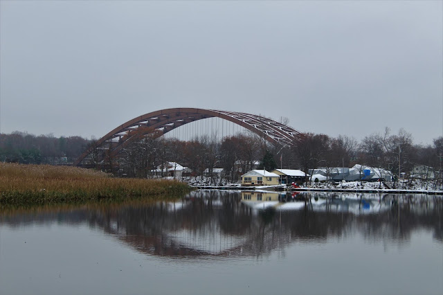
As I began my walk, heading southwest, I caught a nice glimpse of the Twin Bridges across the water, with about an inch of spotty snow underfoot.
The connector trail passes through a small, residential area, including the Diamond Reef Yacht Club and its docks. A picnic area is also found here, at what must be a popular summer fishing spot, aptly named Fishermans Cove.A short road walk on Towpath Road quickly brought me under the Twin Bridges. A very unique perspective on one of the busiest traffic spots in the Capital District.
The Twin Bridges, which were opened all the way back in 1959, are not only one of the busiest parts, but also one of the most recognizable features of the Capital Region.
From under the Twin Bridges, the serene Mohawk view towards the town of Halfmoon, looking northeast. The constant pounding of traffic echoes from above, putting an end to any sense of solitude you may feel.
The trail quickly climbs up and away from Towpath Road, briefly passing by the rushing southbound traffic of the Northway, which sits only about 20 yards away. Within just a few moments however, the trail swings left(west) entering a much quieter area, with woodland on one side, and wetland on the other.
Much of the area immediately west of the Northway is wet, with a couple of small ponds and backwater areas of the Mohawk infringing on the trail.
Continuing west, with a sturdy footbridge crossing over
A large backwater area of the Mohawk, near an oxbow.
The inlet of Wagers Pond, which is actually part of the Mohawk.
Just beyond the bridge is a very nice river view from a power line crossing.
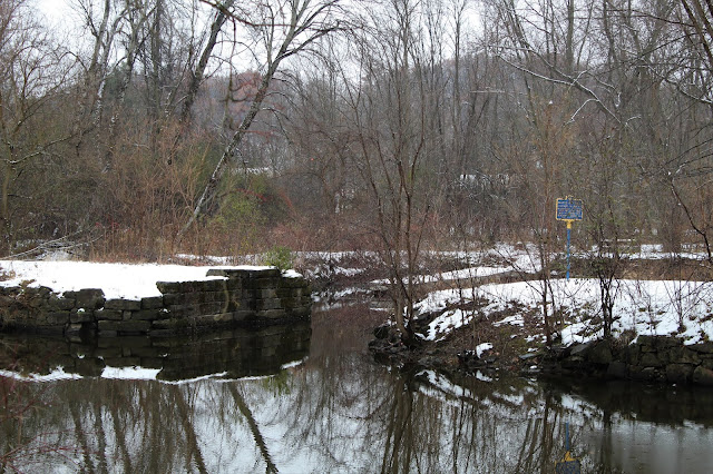
Reentering the woods, the trail parallels the a stretch of the orignal Erie Canal.
A very wintry looking scene.
From across the Canal, a decent look at Clute's Dry Dock, which is easily accessed from Riverview Road and is part of the Vischer Ferry Nature and Historic Preserve.
A short path leaves the main trail, leading to a view of the Mohawk.
A bench and very small clearing provide a view back downstream across the Mohawk.
South view towards the Mohawk View Water Treatment in Colonie.
This large area of cattails just off trail caught my attention.
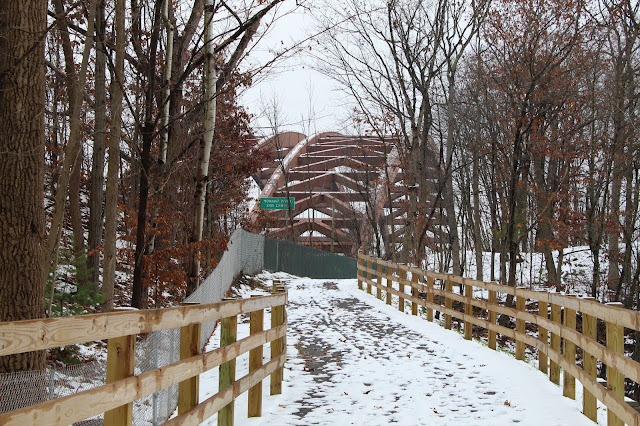
Retracing my steps, approaching the Twin bridges once again.
Arrived back at the car for a total of about 3 miles RT. Very easy walking and didn't see another soul the entire time.


No comments:
Post a Comment