My buddy Jim and I both love the Catskills, and love finding different ways to climb all of the mountains as well. One route that has interested us both for quite a while is heading up SW Hunter Mountain from the Diamond Notch Trail in Lanesville. We have each climbed the 3740 foot mountain previously(multiple times) and thought that this variation would add an interesting twist, and maybe even a view. We parked on the shoulder of Diamond Notch Road near a bridge crossing and then began our hike walking the remainder of the road, first past houses, then passing by stone walls. Elevation to start the hike was just under 1500 feet.
After passing the trail register, we followed the trail north for about half a mile before crossing Tree Hollow Brook turning right, heading off trail and directly UP. The rock strewn slopes were quite steep but easily navigable.
As we quickly gained elevation, screened views through the trees began to impressively open up across the notch towards several of West Kill Mountain's massive ridges.
A nice view of West Kill Mountain's ridges towering imposingly behind us.
As we continued to climb, more and more of West Kill's ridge lines began to unfold.
We even managed to capture a nice through the trees view at Diamond Notch to the north.
Nearing 2800 feet, we began to see West Kill's true summit poking out.
As we ascended up and over 3000 feet, and neared the ridgeline, we began to encounter much thicker conifers, as well as this rickety old hardwood survivor.
The ascent up the ridge was pretty cut and dry, through increasing conifer cover.
Once on the summit bump, it is a thick wall of conifers to fight through to find the summit canister. The air at the top was noticeably colder in the thick, dark summit woods. Arriving at the 3740 foot summit, we signed in and took a couple of pics before decided to move on due to the cold.
The descent off the peak was what both of were really looking forward to. We wanted to basically aim slightly NW off the summit, heading almost directly at the steepest section of the mountain, heading just south of Diamond Notch itself. At the far NW corner of the summit bump, we did manage a small view.
Circling down towards the SW we began to see a much broader view sprawling out through the trees to the SW.
Jim taking a couple photos from a ledge we found at about 3600 feet, facing SW.
The higher peaks off in the distance are Doubletop, Graham and Balsalm Lake Mountain.
A slight turn to the left from the ledge, provided a much different view. This view encompasses the SE peaks near the Ashokan Reservoir. Ashokan High Point is in the distance with the Carl Mountain to Tremper ridge in the foreground.
Dropping just a bit lower down, and only about 100 yards further away we found an even more impressive view across the valley of Route 214 towards the Burroughs Range.
Another, slightly zoomed view of the Stony Clove valley cutting through to the south towards the much higher peaks of the Burroughs Range.
Dropping ever so slightly down we still found great views towards Slide Mountain rising above the tree tops.
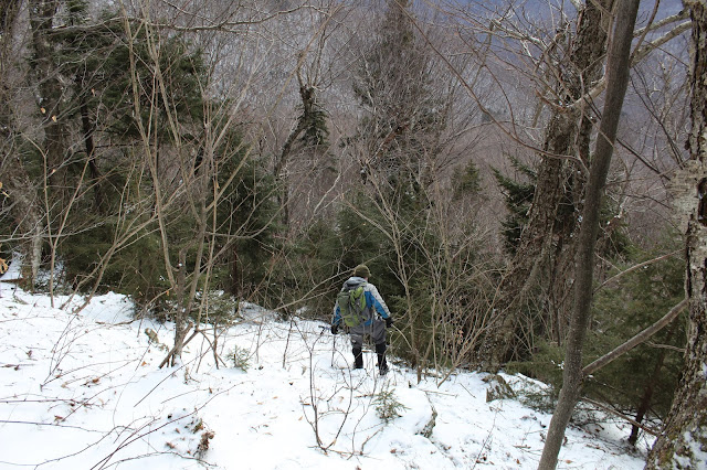
Just below 3600 feet, the bottom dropped out...looking like an endless abyss below. Here Jim takes a moment to collect himself for the nearly vertical descent. Spikes were definitely helpful here.
We dropped over 500 feet in 2/10 of a mile, slowly picking our way down. This was one of the steepest descents that I have done in the Catskills. Believe it or not, the photo below was on a less steep section.
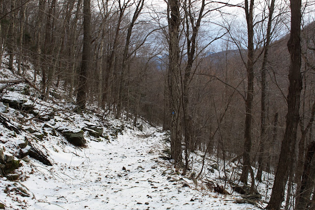
As we dropped back below 3000 feet, the descent into the Notch continued, but at a much less of a pitch.
The Notch view south through the bare trees.
One more look at West Kill's broad east slopes hovering above Diamond Notch.
Before we knew it we were back to the Diamond Notch Trail, all the way down to 2200 feet.
The trail closely follows and even crosses picturesque Tree Hollow Brook south. Loved seeing this "green slime" against the red Catskill clay beneath.
There are many small cascades on this section of the brook, which make for a wonderful stroll and many photo ops.
Got back to the car, with less than an hour of daylight to spare. A perfect ending to another great day in the mountains. Hiked about 6 miles RT with over 2300 feet of ascent.


No comments:
Post a Comment