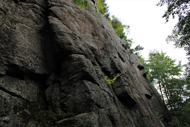
Decided to head up into the SW Adirondacks after work this afternoon to do a little exploring on yet another delightfully cool late summer day. 2540 foot State Brook Mountain is a small peak that sits just north of Good Luck Cliffs and is pretty much unknown to most folks outside of the rock climbing community. This is a well known destination to rock climbers, however, and can be reached by an unmarked but well cared for rock climbing herd path that leaves Route 10 almost due west of Trout Lake. Finding the start of the herd path(Elevation 1683 feet) might be the toughest part of this hike, for once you're in the woods, it's pretty much smooth sailing. I've actually seen marked DEC trails in worse shape than this herd path is in.
Continued on a steep slope up and around the cliffs, arriving at the top of the ledges, with impressive north facing views. Tomany Mountain(site of a former fire tower) is the nearby peak in the upper left corner.
From a slightly lower ledge, looking north, with the upper cliffs blocking part of the view.
From the summit, it appeared that there were some steep ledges on the east slopes of the summit as well, so I began poking my way around and through trees in hopes of finding some views.
Found one clear view spot, with a nice look SE. Footing was not very good here on the near vertical slopes, though, with duff traps everywhere.
I contoured my way around the south slopes just below the summit, in search of more views, but the trees were pretty thick in here, and footing was a bit tricky as well. The best views I could get were somewhat screened west facing views.
There was just a tinge of fall color on some of the trees as well as the leaves on the ground, reminding all of us that in a few short weeks, the foliage will be on full display.
Dropped back down to the herd path and followed it back to the car for a nice and easy 3.8 mile RT and 1200 feet of total ascent.
Map below. Blue P=Parking Red Trail=Herd path Black X's=Cliffs/ Ledges


The south facing ledges are visible from the Dry/Dexter trail in the leafless seasons. Cool to see what it looks like from above. Thanks for sharing.
ReplyDeleteYour welcome Tick! Appreciate it! I've never seen the ledges from below so that would be a cool perspective(sounds like a future trip in the leaf-off season) :-)
Delete