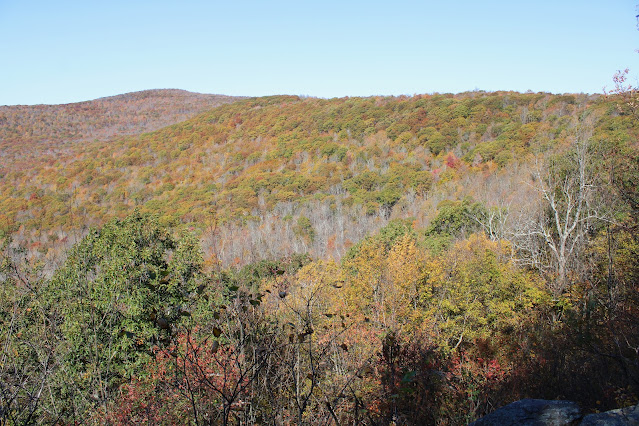
Took advantage of a perfect fall day by visiting 2800 foot Ginseng Mountain in the northern Catskills. Today's adventure would be a part trail/ part bushwhack of a peak I had previously visited but wanted to explore further. Parked at the very end of Jennie Notch Road(Elevation 2070 feet) in a small DEP parking and set out on the Long Path heading north on an old woods road. Just a couple minutes into the hike, I left the trail momentarily to check out a very large beaver pond, with stunning views north towards Ginseng Mountain. Although the foliage is just past peak, the colors are still very nice.
Cliff bands near the head of Jennie Notch.
The cliffs sit a short distance off trail but are easily reached and worth a visit. Here's a view back east across the Notch from the ledges towards Mount Zoar's far western slopes.
Looking back north towards the Notch.
The cliff bands extend SW for a bit, so I wandered along them capturing some decent views to the south. The Blackheads can be seen rising steeply above Elm Ridge.
Back on the Long Path, I continued north around the summit, before leaving the trail and bushwhacking steeply down to an open ledge just under 2400 feet. From here there is a very nice vista to the north and west. To the north sits Mount Hayden as well as the ridge that connects the two peaks in the foreground.
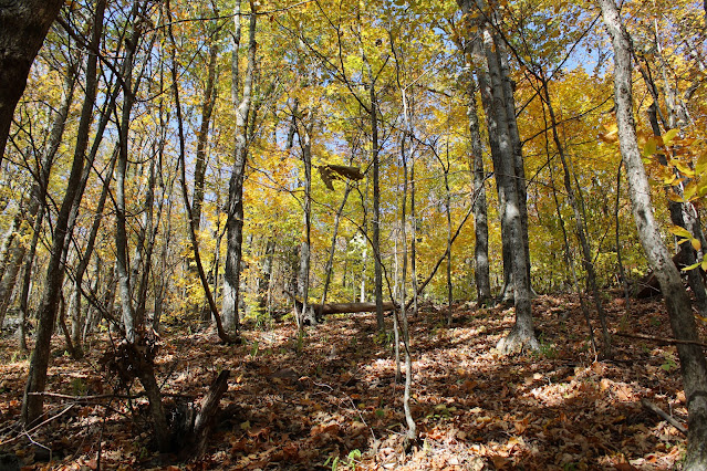
Bushwhacking back up from the ledges through open hardwoods.
The bushwhack was fairly steep back up to the trail, which I was only on momentarily before once again heading off trail for make a final ascent up to the summit of Ginseng Mountain. Ginseng's summit offers little in the way of views, but is quite nice to visit, with a large clearing at the top.
A fantastic day to be out in the woods. Covered 4.4 miles RT with over 1200 feet of combined ascent under ideal conditions.
Map below. Red Circle P=Parking Blue X=Off Trail Vista Red X=Summit


No comments:
Post a Comment