Got together with a couple of my old friends again this weekend to do an overnight hiking trip to the Santanoni Range in the Adirondacks. This range consists of Couchsachraga Peak, Santanoni Peak, and Panther Peak, all considered Adirondack 46ers, even though Couchsachraga Peak has a summit elevation of only 3796 feet.
Since I had to work the first half of Saturday, our game plan was to meet up at 2pm in Lake George and then ride up to the the Upper Works Road Trailhead, where we would pack out all our gear and head to the Santanoni Lean To. All went according to plan and we were on the trail by 4pm under threatening skies.
The first 1.8 miles follows a gravel road through posted land. A nice wetland area along the road.
Even with the heavy packs, we made great time on the road.
After 1.8 miles, the trail turns sharply right away from the road. This spot is clearly marked.
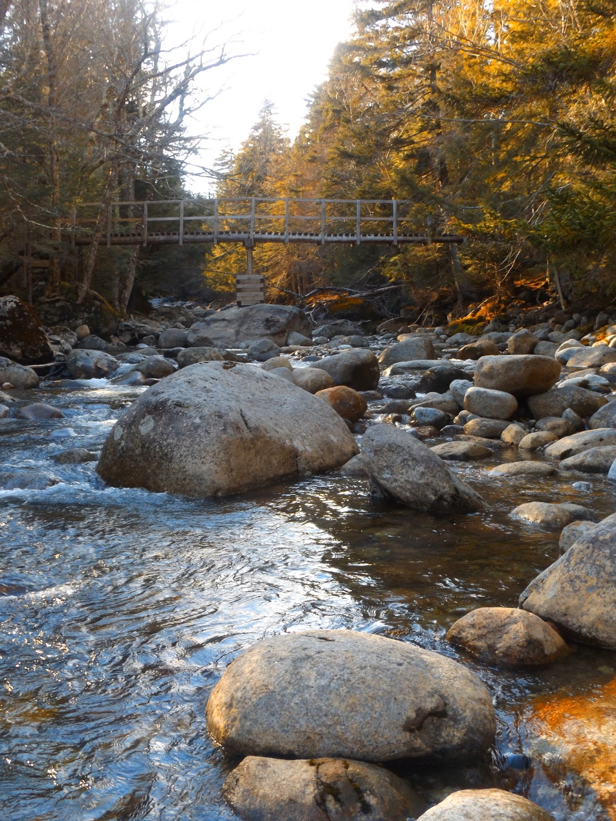
We soon arrrived at a brook crossing. A busted up bridge crosses Santanoni Brook here.
A lot of care must be taken to cross here. Negotiating this bridge during wet or icy weather probably isn't advisable.
Looking back at the bridge crossing.
After about 4.6 miles we arrived at the Santanoni Lean To and set up camp for the night. As we were setting up and got the fire going, the rain moved in.
The wind driven rain was torrential and intense for much of the night, but I stayed dry in the Lean To. Temperatures were only about 40 degrees under a very light drizzle.
The Lean To sits on a steep incline.
My buddies both slept in hammocks with a fly to keep the rain off. They both reported staying mostly dry.
After breakfast and trying to wait out the last of the rain, we broke camp and hit the trail at 10am. We hiked back about 5 minutes south of the camp to a clearly marked trail junction, where the herd path leaves to the left.
The herd path drops down to a small beaver pond, where you have to cross on a beaver dam to the other side.
There are only broken views of Bradley Pond from the path.
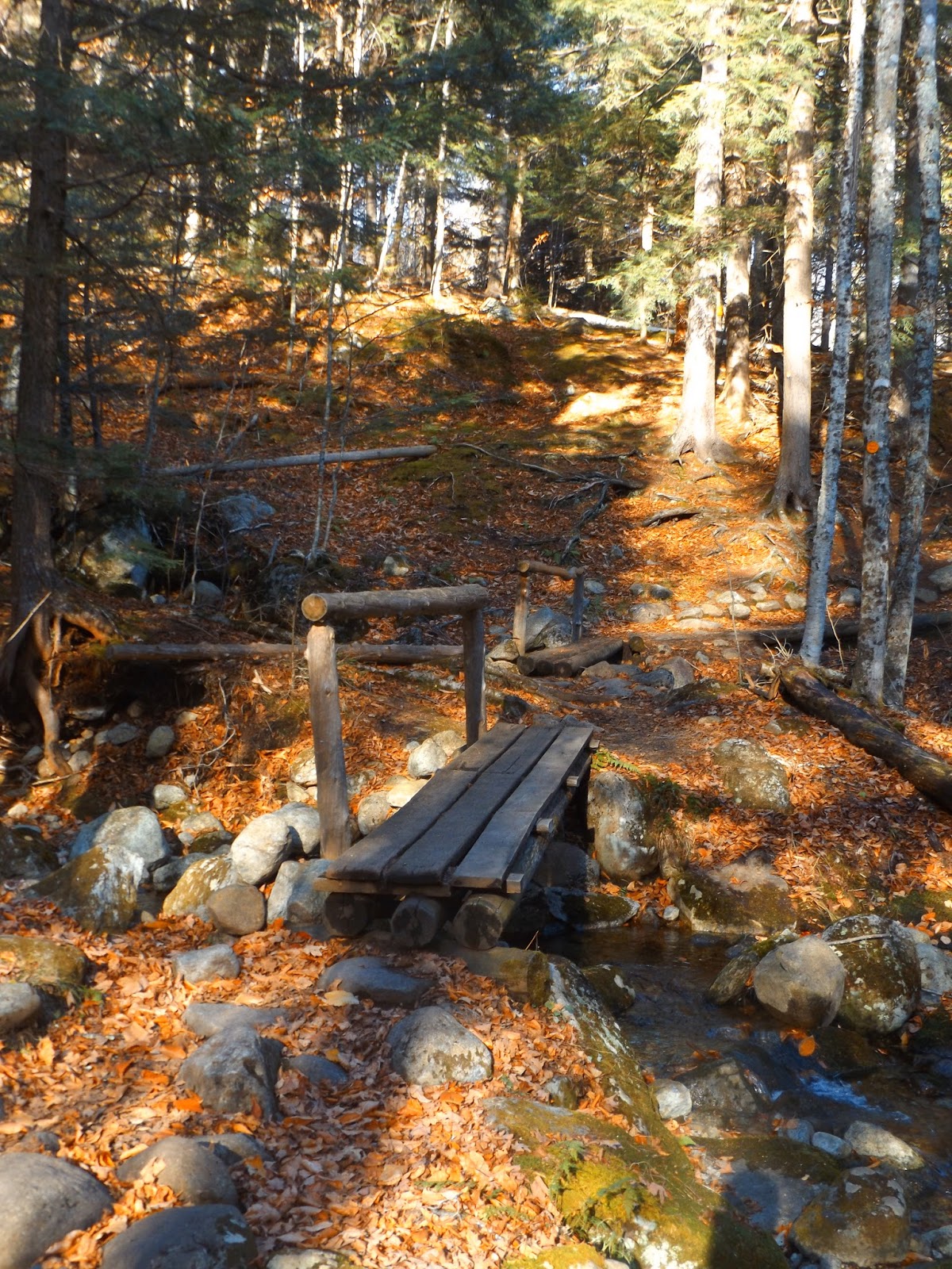
The herd path criss-crosses Santanoni Brook in a couple of spots as it continues its steep ascent.
At one point, the path actually becomes one with the brook, rock hopping along.
Looking back towards Henderson Mountain, which was completely shrouded in clouds on the climb up.
At an elevation of about 4300 feet a small clearing known as Harold Square is marked by carved letters into a tree and rock cairns pointing to Panther Peak and to Times Square.
Looking at the rock cairn that points the way towards Times Square from Harold Square.
We continued on to Times Sqaure, which is only a few hundred yards past Harold Square. This is a major intersection where a right leads to Couchsachraga and left heads to Santanoni. There is a small clearing just past Times Square that provides excellent views. This made a great spot to watch the fog burn off around us and clouds to break up, making way for blue skies.
Nearby Santanoni Peak just to the south, where the summit is completely engulfed in clouds.
We opted to take the path to Couchsachraga Peak first, which is easy to follow but crowded by trees and brush in spots.
A ledge along the path provides a great view to the north and west over the Cold River valley.
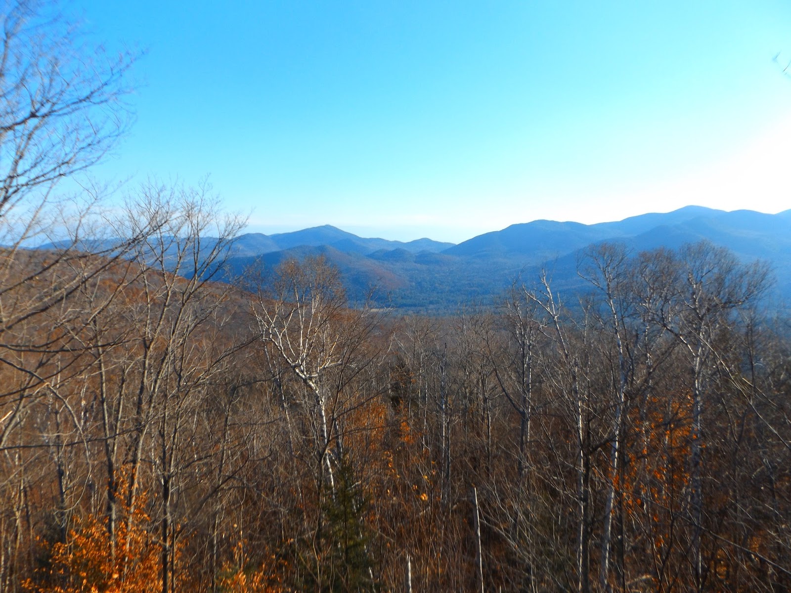
A great panorama on the way to Couch with a phenomenal view of the Seward Range.
A look towards the Sewards and Sawtooth Mountains.
What a view.

Continuing on towards Couch, the muddy trails only get muddier and there are many small ups and downs along the way, which can be discouraging. Near Couch's summit is a huge bog, where logs are laid down to help guide the way. If you step into the mud here, it can be almost knee deep in spots.
Making our way through the mud.
The steeper descents were only made worse from the previous night's heavy rains.
A final push to 3796 foot Couchsachraga Peak.
The summit! Unfortunately it was wooded with limited views.
A view through the trees from Couch's summit.
A view back to the east from the summit towards Santanoni Peak.
After grabbing lunch, we retraced our steps back off Couch with its multiple ascents and descents. A small break in the trees provided a great view of Panther Peak, looming high above.
We returned to Times Square, where we took the turn towards Santanoni Peak. There are several great views on the way to Santanoni. Here is a view west towards Newcomb and Long Lake with Little Santanoni in the foreground.
A view east on the way to Santanoni provides a glimpse all the way down to Bradley Pond.
A nice chance to view Couchsachraga Peak.
The highest point of the day at Santanoni Peak, with an elevation of 4607 feet.
Returning on the muddy herd path off of Santanoni.
A great view to the north towards Times Square and Panther Peak.
The return to Times Square provides a great view of the nearby Tahawus mines and tailings.
The ascent up to Panther from Harold Square was very quick, but incredibly muddy. We got to the top within less than 10 minutes.
Last summit of the day. Panther Peak, elevation 4442. Although the actual summit is wooded, there are great views on the rock facing south slopes.
The view just below Panther's summit, on a large rocky expanse.
Mark just below Panther's summit.
We hiked back the last mile in the dark using headlamps. Luckily this was the gravel road section of trail, so walking was easy. Got back to the car at about 7:45pm. Very tired and muddy, but with a sense of accomplishment.
Hiked 17.3 miles total for the day and a half.