Search This Blog

Wednesday, March 1, 2017

Beebe Hill(Austerlitz)

Did a quick, local hike to the Beebe Hill Fire Tower after work with my dad on a mild Wednesday afternoon.  The short access road off of Osmer Road was quite muddy and anyone with a low clearance vehicle should be careful entering.  As always, the first feature of this pleasant hike is 6.5 acre Barrett Pond, which sits right next to the parking lot.
 Across the parking lot is a small 19th century cemetery, which looks like it is well tended to.
The trail begins by crossing Indian Creek on a sturdy foot bridge.
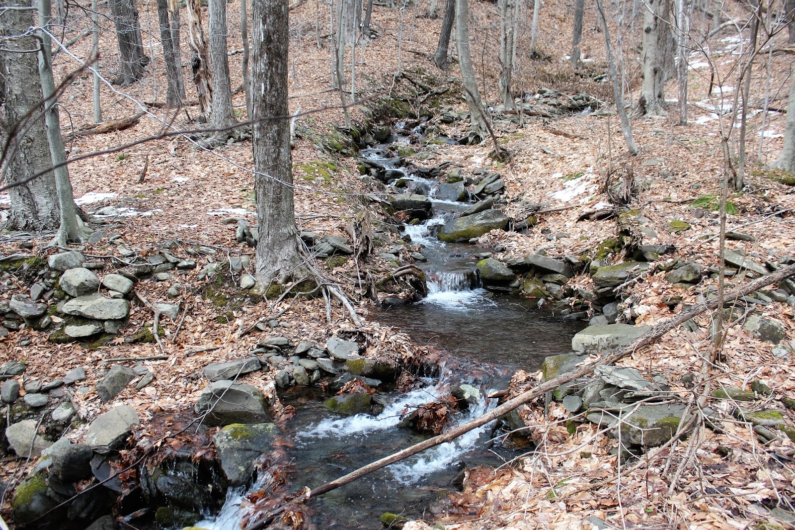
The ascent is slow and steady through a hardwood forest.  There was quite a bit of run off from recent snow melt and rains.
A very well built stone wall can be found directly beside part of the trail.
 Arriving at the Lean To, which makes a nice, quiet spot to relax.
The Lean To can be found only about 15-20 yards off the main trail.
Opal Pond, with retreating ice.
 After about one mile, we arrived at the open summit area, there is an old ranger cabin to the left, but to your right is the main feature, a 60 foot fire tower.
Although views from the true 1822 foot summit are minimal, once atop the fire tower, the views are broad and sweeping. 
 A look west towards Columbia County, with the Catskills in the distance.
 Looking down...very steep.
 A glance south, provides a view down towards the southern Taconics and Catamount Ski Area.
 Patriotic art.
 We opted to come down the access road/ horse trail to form a large loop.  We passed old, crumbling stone walls as well as foundation remains.
 More run off flowing down through the woods.
Hiked a little over 2 miles RT on a warm, late winter day.  A light rain began to fall as we headed to the truck.

Thursday, February 23, 2017

Mohawk Riverside Landing Park(Colonie)

Only one word truly sums up the weather for this day.  Wow!  An all time February record 69 degrees beckoned us to get out of work and go out for a walk to soak up some of this true spring weather.  After considering that most trails will be slush and/ or muddy, Kalli and I decided to head to the Mohawk Hudson paved bike path.  We even brought Bella along to enjoy the beautiful day.  We started from the fairly new Town of Colonie Mohawk Riverside Landing Park, which is located just east of the more popular Lions Park in Niskayuna, at 4071 River Road.
 The park was built on the site of the Latham Water Treatment Plant and there are three storage tanks that still remain.  A paved trail leads away from the parking lot and past the storage tanks.
 The paved trail proved to be a great choice as it winds through a small section of woods and just past a backyard.
 A short distance from the parking lot, the trail meets up with the Mohawk Hudson Bike Path.  This spot of the bike path is marked with an informational kiosk and benches.
 We turned left(west), and were quickly greeted with pleasant views of the Mohawk River.
The bike path was packed on this mild day.  We saw lots of folks walking, riding bikes, running and roller blading.  This just happens to be winter break for all the local schools too, so there were plenty of kids out having fun as well.
We really enjoyed this rustic barn, fast flowing small creek and old glory flying proudly above, next to Lions Park.
A few steps down off the rail trail at Lions Park, allows you to get intimate with the river.  Looking west.
 The old railroad depot at Lions Park.
 A glance northeast towards Vischer Ferry, with the nearby shore ice receding by the minute.
 We continued west to the Ferry Road bridge before turning back and retracing our steps to the car. 
Hard to beat days like this. We really enjoyed a spring like stroll, passing many people who all seemed to be in especially good spirits.    About 2.5 miles RT on a record setting day.

Tuesday, February 21, 2017

Little Rocky(Catskills)

Headed south on a late February morning to climb 3015 foot trail-less Little Rocky in my continuing quest to climb the hundred(102) highest Catskill Peaks.  Little Rocky is often referred to as the toughest of the 67 non 3500 foot peaks on the list, due to its steepness and length of the bushwhack. The frustrating issue with this bushwhack is that a large chunk of private land is found between the parking area and Little Rocky, meaning, you must hike south for over a mile and a half before heading towards the peak, to stay on public land.
 For those who do not know where Little Rocky is located, it is the peak directly southwest of Ashokan High Point, on the southwest side of the Ashokan Reservoir.  Met up with my buddy Jim at the Kanape Brook parking area along Ulster County Route 42(Watson Hollow Road), the typical starting point for the trailed hike to Ashokan High Point.  We crossed the road and headed down to the footbridge crossing over Kanape Brook.
Followed the red blazed trail along the beautiful brook towards the trail register.  The trail was mostly bare ground or beaten down where there was snow and made for easy walking.
Passing along a stone wall as the morning sun broke free through the trees.
We hiked the trail for a little over 1.5 miles and then headed southwest into the woods, beginning a steep bushwhack up the slopes of Little Rocky.  The ascent from the trail is no nonsense, climbing roughly 1600 feet in just over a mile.  As we gained elevation, views began to open up across the deep valley towards 3061 foot Ashokan High Point.
Jim wandering around, trying to find a clear view of neighboring Ashokan High Point.
We continued our steady climb up towards the col between Little Rocky and Mombaccus Mountain.  Once up on the main ridge between the two peaks, the ascent eased up considerably. 
As we headed northwest towards Little Rocky, we encountered several smallish cliff bands, with interesting rock formations.
Heading through the mostly open woods, through several inches of snow.  We chose to forgo  snowshoes for microspikes and had no issues at all.
Jim enjoying the beautiful winter conditions as we climbed up over a southeast false summit on the way towards the true summit.
A large rock cairn near the false summit.

Although Little Rocky is not known for having many views, we were fortunate enough to locate some peek a boo views north towards the Devils Path peaks.
A zoomed view through an opening in the trees north.
More interesting rock formations and caves high up on Little Rocky.
 The 3015 foot summit is completely wooded and directly on the state land/ private land boundary marker.  Here I am at the top.  My 64th Hundred Highest peak.
A large clearing on the return trek towards the Mombaccus col.  Screened winter views through the trees offer only a glimpse from up here.
 Looking at Mombaccus Mountain, which is actually the eastern high point of Little Rocky, covered in dwarf oak trees.

After the mellow walk along the ridgeline, we eventually had to head back down the steep slopes towards Kanape Brook.  We took or time, being careful of our footing and headed straight down.
The descent was pretty quick, with only a couple of tricky spots to negotiate.  Simply took our time, digging into the snow to gain purchase when needed.
Back down on the red marked Kanape Brook trail as we headed back out to the car.
Just off the trail, we spotted a large area of rock cairns so took a quick side trip to check them out. 
The recent warm temperatures have resulted in a lot of melting snow, which in turn has lead to lots of running water down the mountain sides.  Small cascades made for a picturesque scene and a glimpse into spring.
Hiked about 8.5 miles RT, with 2200 feet elevation gain on a nice winter day.  64/102 CHH peaks completed.

Sunday, February 19, 2017

Sunrise at Ooms(Chatham)

After finishing an overtime shift at work this morning, I thought I'd swing by Ooms Conservation Area in Chatham to do a quick sunrise walk.  Parked the car and got out as dawn was just breaking. 
 Strolling down towards Sutherland Pond under the pale moon light.
 The sun's first light breaking out over the eastern horizon.
 Heading towards the gazebo with the moon above.
 An abnormally mild February morning with temps in the mid to upper 30's.
 From the gazebo, I really enjoyed the sun's early rays.
 The mild temps are really melting down our recent snow pack.
 Highly changeable skies.
 Sutherland Pond's outlet winding through the woods.
Completed a full circle of the pond on a tranquil winter morning.