Search This Blog

Tuesday, May 14, 2019

The Windham Path(Catskills)

Got out for a short walk Tuesday morning at the Windham Path on yet another dismal spring day, with cool temps in the low 40's and rain in the forecast.  The Windham Path can be accessed from two separate parking areas and offers up 2 miles of scenic walking near the hamlet of Windham.  One entrance(the main starting point) is right off Route 23, just west and across the street from Old Route 23.  A second trailhead is located to the south, off Route 296.  I started from the main entrance off Route 23.
The trail meanders its way through the mostly open meadows, as well as woodlands and along streams, with views of the surrounding peaks to boot.
Along the trail there are several benches to relax and enjoy the views.  Here is a particularly great seat to soak in the view of nearby Van Loan Hill(L) and Round Hill(R).
Spring is fighting its way forward through a downright cold and nasty stretch of weather recently.  Trees are leafing out and grass is greening up, even with temps running 20-25 degrees below average.  Low clouds and mist obscure neighboring Cave Mountain's upper slopes from across these fields.
A gorgeous covered foot bridge crosses the Batavia Kill and connects to the south trail entrance off of Route 296.
Along downstream at the Batavia Kill.
 A picturesque foot bridge crosses a backwater area of the Batavia Kill.
I followed the trail to the south  and took a moment to catch another quick peek of the Batavia Kill(just off trail).
 The trail skirting the woods along the east side of the fields.
 The lower slopes of Cave's NE ridge can be seen here, draped in fog.
As the trail continues north towards the parking area and rushing traffic along nearby Route 23, a small tributary stream keeps nature close by.
Finished a nice and easy 1.5 mile stroll on an exceptionally cool May day.  Once back in the car, a short drive up in elevation was a not so gentle reminder that winter always holds on tight in the mountains.  Rare May snow and thick fog greeted me as I climbed up and over 2000 feet .  I think I speak for most people when I say that we are all just about done with this cold snap.

Wednesday, May 8, 2019

Malta Ecological Park & Anchor Diamond Park(Saratoga County)

Did a pair of easy walks in Saratoga County after work this afternoon on a picture perfect spring day. My first stop was the Malta Ecological Park, located on the south side of Saratoga County 63(Malta Ave).  There is a large parking area with room for at least 15 or so cars, so I was a bit surprised to see no other cars there when I arrived, especially on such a lovely day.  I headed over to the kiosk and trail map to look things over before heading out on the wide, meandering paths that wind through the park. 
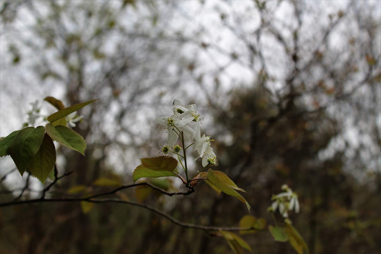
Spring blooms are really thriving now that we are getting some sunny days(finally!)
The trail is soft underfoot and walking is nice and easy on wide foot paths.  A great place for a quiet stroll.
Wandered over to a small pond that can be checked out from a side trail and viewing platform.  This tiny pond is teeming with the sounds of nature and would make a great place for kids to check out.
I explored the outer trails before making my way back into a large open, grassy meadow in the center of the park.
A nice, small park that almost seems forgotten amidst the fast pace of life all around it.  Less than 1 mile of easy strolling.
My next stop was a bit further south at 246 acre Anchor Diamond Park at Hawkwood, located along the west side of Middleline Road, just north of its intersection with Route 50. A park sign and large parking lot assure you that you are in the right place.  
The park's main trail is actually an old carriage road that lead to the mansion.  It is wide and straight and makes for pleasant walking.  A well crafted foot bridge crosses a creek along the way.
Several side trails shoot out off the main trail, each well marked as they make their way through the picturesque woods.  Just off one of these trails, I took a brief moment to soak in the sounds of the gently rushing water of the unnamed creek that flows through these woods.
The centerpiece of the park is the old Hawkwood Mansion, which burned down back in the mid 20th century.  Remains of the estate can still be seen today.  Foundations, old cellar holes, a stairwell, old bricks and this stone fireplace and chimney can all be found here.
I took many of the trails that comprise this park, passing through various types of woodland.  On the yellow trail at the far west end of the park, I passed through a dark, hemlock forest.
From the southwest edge of the park, I caught a glimpse at a large wetland that sits just off the trail system.
Spring days don't get much better than this. 
This peaceful little creek that meanders through the park eventually makes its way east, emptying into Ballston Lake.
Really took my time enjoying the sights and sounds of these beautiful woods.  A total of about 2.5 miles with almost no elevation change.

Tuesday, May 7, 2019

Christman Sanctuary(Town of Duanesburg-Schenectady County)

After hiking Bald Mountain in the Catskills, I found that I still had some dry weather to play with on the drive home, so I stopped at the Christman Sanctuary in Duanesburg.  The trails were very muddy but nothing over the top horrible.
 Spring blooms.
 The falls at the Sanctuary never disappoint. 
I was lucky enough to have the trails to myself today.  A rarity at this popular location.
 The falls near the Lean To.
 I wandered along the creek, soaking in the serenity of the rushing water. 
 One last shot of a set of cascades on the Bozen Kill.
 Just off the yellow trail I found this dedication. 
A nice and easy 1.5 miles, with a light sprinkle moving in as I got back to the car.

Bald Mountain(Schohaire County/ NW Catskills)

With wet weather moving north to south for the day, I opted to do a half day hike up 2720 foot Bald Mountain in the northwest Catskills almost directly on the Delaware County/ Schoharie County line.  My starting point for the day was at Archibald Field off of NY 10, across the street from the NYSDEC offices and almost directly south of Utsayantha Lake.  My starting elevation for the day was just over 1900 feet.  I headed east up into the woods and found a myriad of woods roads heading all over the mountain.  Many of the woods roads were marked as trails, while others were unmarked.  I simply stayed with the rule of UP.
Passing by old stone walls, pillars of the past.
 
As I climbed the mountain, spring seemed to be closely following, creeping up the slopes behind me.
Even in the mountains, wildflowers are beginning to bloom.
The slopes were mostly gentle climbing, save for one stretch where it did get quite steep.  The final push towards the summit follows a grassy path with some views beginning to peek out through the trees.
In a small clearing just below the summit, a view NW shows the rural countryside putting on its spring colors.
The remains of the Scotch Valley Ski Area are still visible today, 20 years after the ski resort closed. 
To the south, an over the tree tops view provides a glimpse at some of the taller Catskill peaks.
To the east, the view stretches over to the Blenheim-Gilboa Reservoir with Huntersfield Mountain beyond on the horizon(far right).
From the top of the old ski slopes, looking down.
The view NE, across the rolling hills of Schoharie County.
The Moresville Range can be seen peeking out to the south.
The views from the ski slopes are very good, with farmland dotting the landscape below to the NW.
Rural Harpersfield and Jefferson can be seen from an access road just off the summit.
One last peek north across NY10 towards privately owned Mine Hill and the Schoharie County countryside.
I took various woods roads/trails back down off the mountain in no general order, descending steadily back to the car.  A total of 4.5 miles RT with just under 900 feet of ascent.  Once back to the car, I was lucky enough to capture this shot of the mountain from the shoulder of Schoharie County Route 14.
Back in Grand Gorge, I was stunned by a dizzying amount of roadside dandelions that caught my eye.  Don't think I have ever seen so many in one place in my life.

Thursday, May 2, 2019

Charles Flood Wildlife Management Area at the Empire Brickyard(Town of Stockport)

Visited the brand new 590 acre Charles Flood Wildlife Management Area at the former Empire Brickyard, New York State's latest acquisition, located along the east shore of the Hudson River in Columbia County.  The property was the site of the Empire Brickyard Company from 1902 into the 1950s, and nearly became the site of a landfill in the 1980s, but that proposal was defeated thanks mostly to passionate locals. There are two separate parking areas, one with a full parking lot, signage and kiosk located on Alvords Dock Road and the other at a gate along Route 9J(across from School Road), both in the town of Stockport.
I first stopped by the large parking lot off Alvords Dock Road on yet another overcast spring afternoon.
A wide unmarked path heads away from the parking area and makes for pleasant walking, although it doesn't seem to lead to anything in particular.  It came to a dead end in a large meadow, which was extremely wet due to recent rains, so I turned back there. 
A short informal foot path leads briefly into the woods before returning back to the wide path.  I was a bit disappointed, so decided to head down the road a bit, to the north parking spot, located on the west side of Route 9J.  There is room for maybe 2 cars at a gate directly across from School Road.  I headed out on foot following the road, which was quite muddy and damp in spots.
Several smaller paths seem to break off the main WMA road, but I stayed on the obvious route heading generally west/ northwest.  After a little while, I ran into the remains of what must've been the old brickyard.
More remains, which are mostly overgrown now.  I stumbled across many old bricks laying all over the trail and surrounding woods as well.
A short distance beyond the remains, I came to railroad tracks, which I crossed over in hopes of catching a view of the Hudson River.  Spring growth is rapidly picking up along the river and was quite thick, but I pushed my way through to find a nice look at a backwater section of the Hudson.
Retraced my steps from there, stopping to check out some wildflowers along the way. A nice and easy, but muddy walk brought me back to the car.
A total of 2.2 miles between the two stops at this new Wildlife Management Area, with very little ups or downs.