With wet weather moving north to south for the day, I opted to do a half day hike up 2720 foot Bald Mountain in the northwest Catskills almost directly on the Delaware County/ Schoharie County line. My starting point for the day was at Archibald Field off of NY 10, across the street from the NYSDEC offices and almost directly south of Utsayantha Lake. My starting elevation for the day was just over 1900 feet. I headed east up into the woods and found a myriad of woods roads heading all over the mountain. Many of the woods roads were marked as trails, while others were unmarked. I simply stayed with the rule of UP.
Passing by old stone walls, pillars of the past.
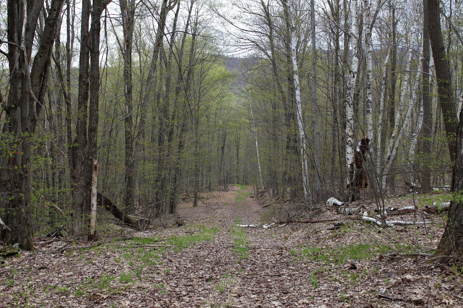
As I climbed the mountain, spring seemed to be closely following, creeping up the slopes behind me.
Even in the mountains, wildflowers are beginning to bloom.
The slopes were mostly gentle climbing, save for one stretch where it did get quite steep. The final push towards the summit follows a grassy path with some views beginning to peek out through the trees.
In a small clearing just below the summit, a view NW shows the rural countryside putting on its spring colors.
The remains of the Scotch Valley Ski Area are still visible today, 20 years after the ski resort closed.
To the south, an over the tree tops view provides a glimpse at some of the taller Catskill peaks.
To the east, the view stretches over to the Blenheim-Gilboa Reservoir with Huntersfield Mountain beyond on the horizon(far right).
From the top of the old ski slopes, looking down.
The view NE, across the rolling hills of Schoharie County.
The Moresville Range can be seen peeking out to the south.
The views from the ski slopes are very good, with farmland dotting the landscape below to the NW.
Rural Harpersfield and Jefferson can be seen from an access road just off the summit.
One last peek north across NY10 towards privately owned Mine Hill and the Schoharie County countryside.
I took various woods roads/trails back down off the mountain in no general order, descending steadily back to the car. A total of 4.5 miles RT with just under 900 feet of ascent. Once back to the car, I was lucky enough to capture this shot of the mountain from the shoulder of Schoharie County Route 14.
Back in Grand Gorge, I was stunned by a dizzying amount of roadside dandelions that caught my eye. Don't think I have ever seen so many in one place in my life.


No comments:
Post a Comment