With a bit of a reprieve in the terrible weather, I decided to do an after work hike in Schoharie County this afternoon. I wanted to explore a DEP area located just north of the hamlet of Manorkill, in the sleepy town of Conesville. An unmarked woods road starts just east of the Manorkill Cemetery, and DEP signage is visible at a gate just uphill from the road. This would be my starting point today, at just over 1500 feet of elevation.
Within a few minutes, I emerged in an extremely large, open meadow.
Almost immediately, I turned around and was wowed by the vista to the south.
From the open fields, the northern most Catskills are easily visible, stretching from left to right, Pisgah, Richmond, Ashland Pinnacle and Huntersfield(not pictured here).
Had fun ascending the open fields. As usual, what Catskill hike would be complete with a stoic stone wall.
Once out of the fields and into the woods, I picked up a fairly obvious woods road and followed it north, ascending gradually.
Nearing 2000 feet, the woods are a little further behind, but are wide open and make for great bushwhacking.
After hitting a high point of 1985 feet, I decided to do some exploring, and stumbled across this interesting makeshift shelter.
High up in elevation, the land levels out, forming a bit of a plateau. I found an extensive soggy, moss filled wetland area up there.
Dropping back down the woods road, I soon emerged back in the lower meadows. To the south, across the open fields and beyond the stone walls is a great view towards Huntersfield.
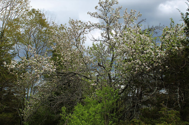
I wandered the open fields for a bit, taking in the views and checking out spring's foliage.
With a temperature in the upper 50's, it sure felt more spring like today. The land is awakening as well, reacting positively to the sun and warmer weather.
More spring blossoms.
As I headed back down through the open fields, a brewing storm nearby told me it was time to get going.
Hiked a little over 3 miles total, with over 500 feet of ascent.


No comments:
Post a Comment