Search This Blog

Friday, May 23, 2025

Thompsons Lake State Park & Thacher Park(Town of Berne & Knox, Albany County)

Did a little exploring today at both Thompsons Lake State Park & Thacher Park in the Helderbergs under rainy, dreary conditions.  Got started by parking at the old, one room Schoolhouse along County Route 256(Elevation 1395 feet) and heading south into the damp woods, taking various trails.

Sturdy stone walls are a constant trail companion in these woods.
Made a brief stop along the northwest shore of Thompson's Lake, which was shrouded in fog and mist.
Looking east across Thompson's Lake.

After checking out the lake, a light drizzle turned into a steadier light rain, so I headed back north to my car.  


Covered about 1.9 easy but wet miles at Thompson's Lake State Park.  

After waiting out a rain shower, I drove the short distance away to Thacher Park and did a bit more easy hiking.  Parked in the Paint Mine Lot and headed south into the misty woods, checking out the multiple cascades and falls on Paint Mine Brook.

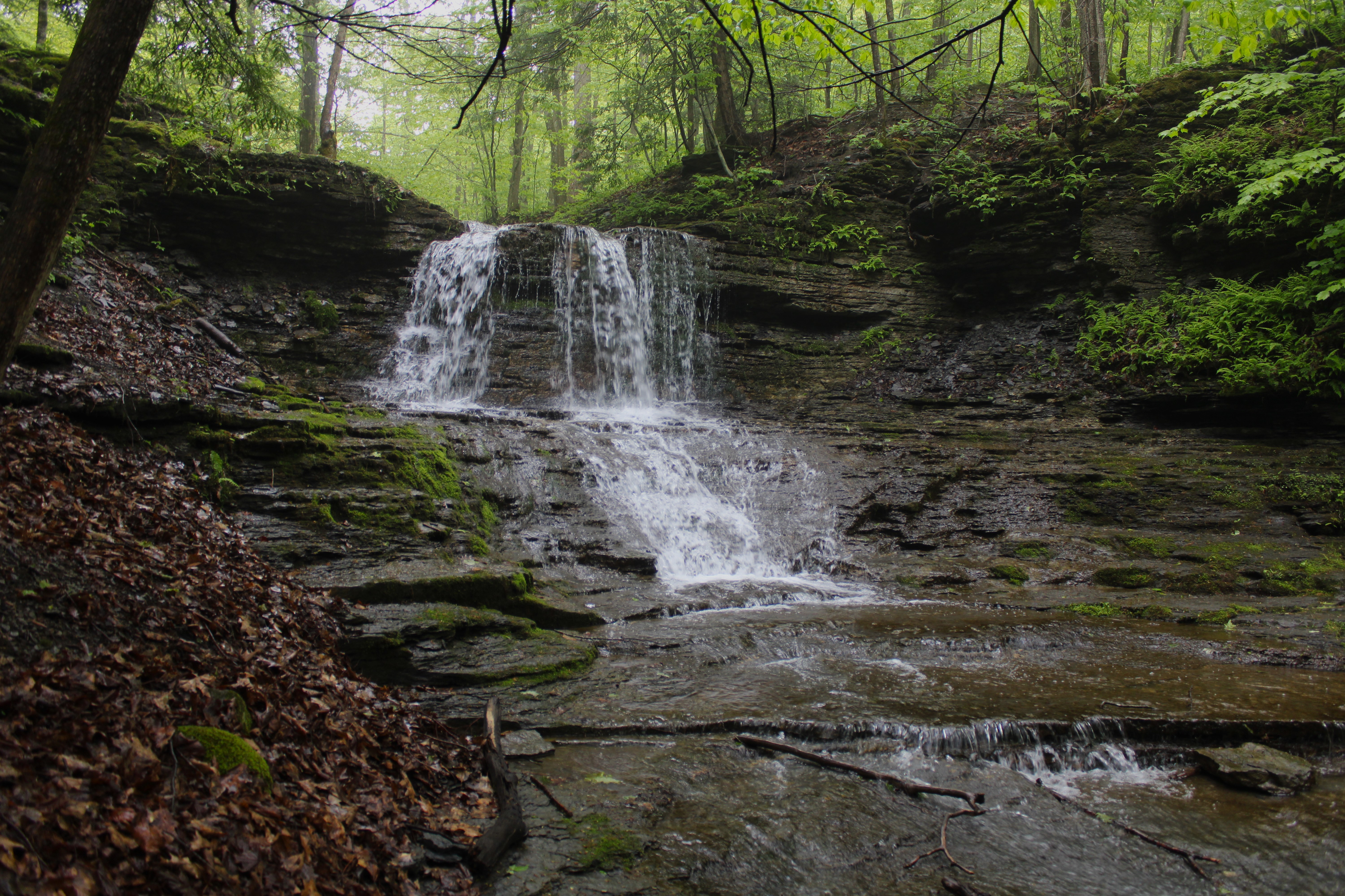
Tiered falls just off trail on Paint Mine Brook.
Paint Mine Pond under clearing skies.
Took various trails, eventually making my way east over to more cascades near Hop Field.


Crossed over Route 157 and made my way over to the Escarpment Trail, wondering if the clouds had cleared and indeed they had started to.

Clearing conditions along the escarpment.

Unfortunately, the rain soon returned and although never heavy, it was enough to make me head swiftly back to my car.  Covered about 4 miles here and nearly 6 miles total on a gloomy spring day.


Saturday, May 10, 2025

Wachoosik Park(Town of Nassau, Rensselaer County)

Free time is very hard to come by for me these days, but took advantage of a brief window of time by wandering the muddy trails of Nassau's Wachoosik Park following our heavy rains from the past day.

Covered a touch over one mile on a breezy but comfortable spring morning.
 

Tuesday, April 22, 2025

Boehme Legacy Forest(Town of Grafton, Rensselaer County)

Visited the Hudson Taconic Lands brand new 209 acre Boehme Legacy Forest, located off of Jay Hakes Road in the town of Grafton on a picture perfect spring day.  The property sits high up on the Rensselaer Plateau and offers over 2.5 miles of marked trails to explore.  White and yellow marked trails start behind a kiosk in the far corner of the crushed stone parking lot(Elevation 1160 feet)

I first opted to take the yellow blazed David Hunt Trail, which meanders its way through a dark forest, before dropping down to an impressive steel bridge crossing over the Quacken Kill.
The beautiful Quacken Kill, a high quality trout stream.
Once across the bridge, the trail almost immediately begins a steep climb up the east slopes of Bunker Hill.

A steady ascent brings you up to the fairly open 1430 foot summit of Bunker Hill.

The summit offers nice southwest facing views from a rocky clearing.

Dropping down steeply to an impressive set of rock ledges just below the summit area.

From the summit area, I continued on the yellow trail, eventually looping back down to the bridge crossing over the Quacken Kill and then onto the the white blazed Louise Boehme Trail.  This trail closely follows the creek, which for the most part sits down a steep slope below you.  I did manage to find one nice area of cascades just a few yards off trail.
The trail, as mentioned, hugs the creek much of its route, bending sharply at an area where the water turns more mellow and slow moving.
A much quieter Quacken Kill than the rushing waters just downstream near the bridge crossing.
I completed the remaining part of the white trail, which leaves the waters edge and soon brought me right back to my car in the parking lot.  A very nice addition to the Hudson Taconic Lands in a beautiful area of the Rensselar Plateau.  Covered about 2.7 miles total, with 600 feet of ascent.

Map below.  

Red P=Parking      Blue=David Hunt Trail       Black= Louise Boehme Trail          Red X=View


Friday, April 4, 2025

Palmertown Range via Potter Point(Moreau Lake State Park, NY)

Did some exploring in a quiet corner of the Moreau Lake State Park, starting at the very end of Potter Road at the north end of Palmertown Mountain(Elevation 415 feet).  Walked the access road for about 1/10 of a mile before turning onto an unmarked path, which drops down to the Hudson River.  I was greeted there with scenic river views, as well as a little bit of ice in a couple tiny coves.

From Potter Point, looking back upstream.
After enjoying Potter Point and the Hudson River, I headed back up to the access road, and then walked west for a little over 1/3 of a mile, before heading south into the open woods.  Within just a few moments, I found myself climbing steeply up Palmertown Mountain's slopes on another unmarked path.  I left the path fairly quickly, opting to bushwhack and explore the terrain instead.
After a short but steep ascent, I swung over towards the western slopes of the mountain, which drop off dramatically down towards the river.  The woods were very open and easy to navigate.

Arriving at the first view spot, with very nice views west across the Hudson River.

SW views up the Hudson River, with Palmertown Range and Spier Falls Road left.

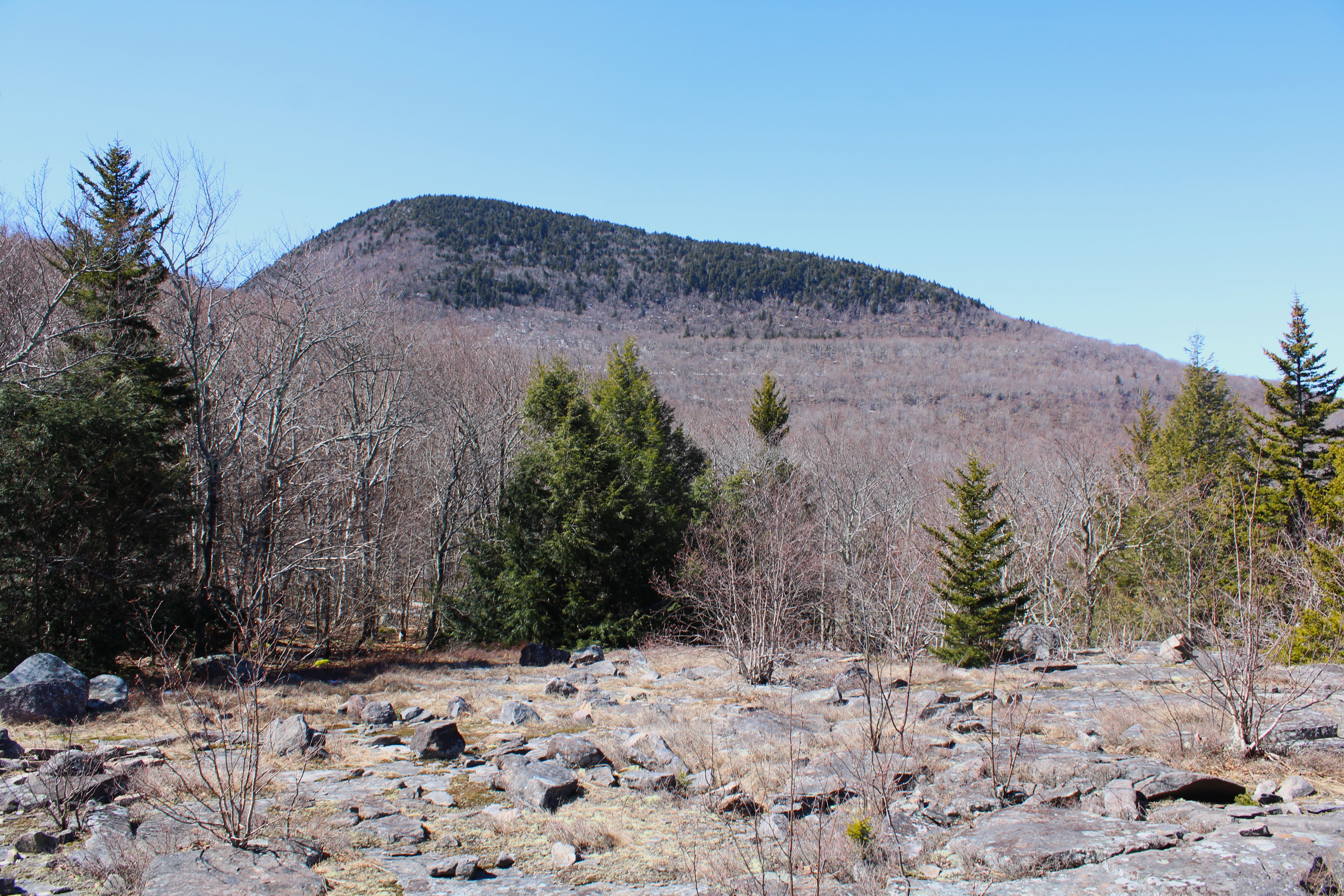
From the view spot, I took an ATV trail east, climbing up towards Palmertown's wooded 1040 foot summit, which sits off trail and is marked with pink flagging.


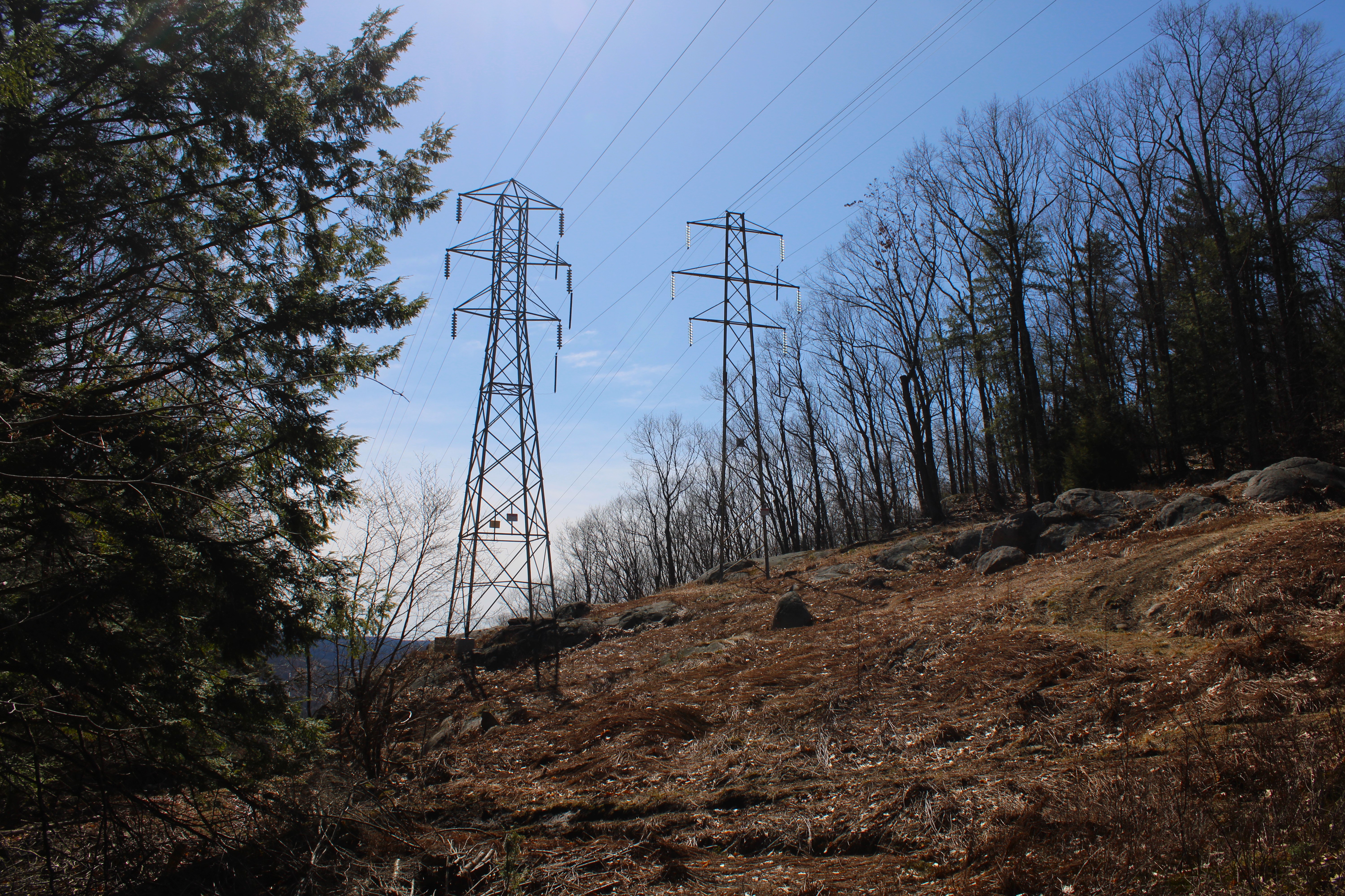
Back on the ATV trail, I continued my way south along the ridge, crossing the power lines.

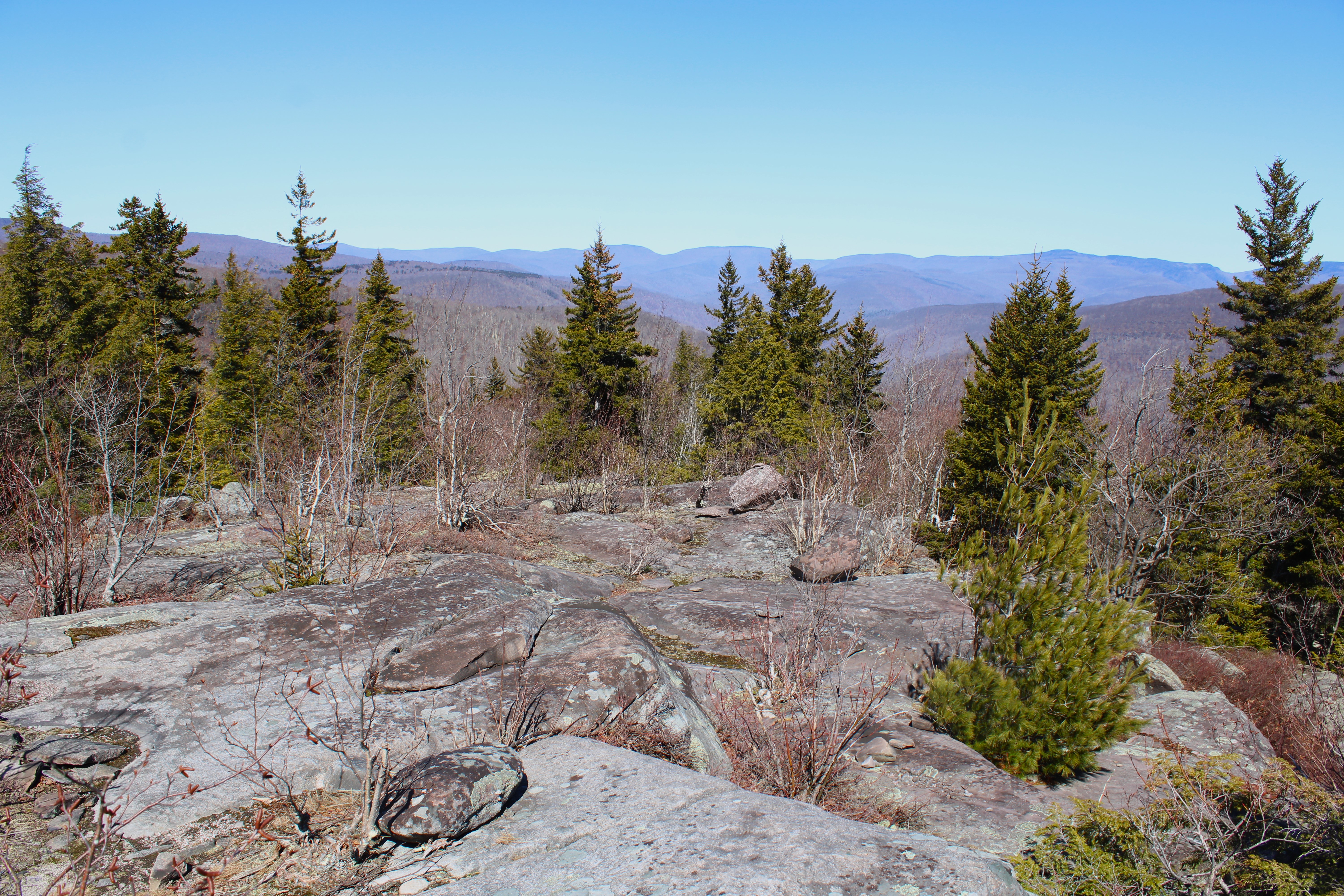
Just beyond the power lines, a short climb up brings you to another good view spot, with a glimpse SW towards the Hudson.


From the same vantage point, the view west towards the mountains around Corinth.

Back on the ATV trail, continuing my way south towards the next high spot on the ridge.


Leaving the trail, I headed down towards a steep, rocky area of ledges below the high spot.

From the ledges, the view SW looks directly down towards the Spier Falls Dam, with Grant Mountain left.

The view west is quite nice from the area of off trail ledges.

A steep climb brought me back up to the ATV trail, which I utilized to make my way back north along the ridge.  Near the north end of the summit ridge, I left the trail and bushwhacked my way back down to the access road, which I then followed all the way back to my car.  A wonderful spring day and fun little adventure.  Covered about 4.3 miles RT, with 900 feet of ascent.

Map Below.    Blue P=Parking   Blue X's=Views


Tuesday, March 18, 2025

Cross Mountain via Traver Hollow(Slide Mountain Wilderness-Catskills)

Took advantage of a beautiful late winter day by heading down to the Catskills to do a part trail/ part bushwhack hike up to Cross Mountain in the Slide Mountain Wilderness.  Got started from deep in Traver Hollow near the end of Bradkin Road(Elevation 1075 feet), bushwhacking west into the woods and almost immediately picked up an old woods road, steadily gaining elevation.

After a bit of climbing, I left the woods road and bushwhacked over to one of the branches of Traver Hollow Brook, which was flowing nicely following recent snow melt and rain.

I followed the brook up, slowly but steadily climbing through the open hardwoods, with occasional views of Mount Pleasant's long SE ridge to my northeast.

The ascent was pretty straightforward and a typical Catskill bushwhack.

Most of my route up the mountain was due west, closely paralleling a branch of Traver Hollow Brook, where I enjoyed many small cataracts pouring down the steep slopes.

The terrain grew increasingly steeper above 2000 feet, until I hit a massive ring of cliffs just below the marked trail at around 2650 feet.

This section of the bushwhack proved to be the toughest part of the day, as I had to carefully weave my way up through the steep ledges.  Once I made it up, I almost immediately hit the Long Path, and then quickly arrived at a spectacular view point on the marked trail.  Looming over 1000 feet above and less than a mile away to the west is Wittenburg Mountain.  

From the same rocky clearing, the view north is a bit obscured by treetops, but quite nice and unique too.  Much of the northern Catskills can be seen from this vantage point.

After leaving the barren, rocky clearing, I descended on the trail for a short distance, before circling over to another steep set of ledges to the east.  I momentarily left the trail, pushing my way through a spruce tree, and voila...a majestic, sprawling view to the east unfolds.  This view looks directly up Traver Hollow, with Mount Pleasant's slopes to the left and Samuels Point to the right.  in the center is Ticetonyck Mountain with a sliver of the Ashokan Reservoir just beyond.
From the same ledge, looking north at neighboring Mount Pleasant.

Back on the trail, I encountered my first area of ice for the day on a spot known as the grand staircase(an area of stone steps created by trail workers), but even that was minimal and only in shaded sections.


I continued north on the trail for over a mile towards Cross Mountain, with occasional filtered views through the trees.  Once on Cross Mountain, just before the summit area, I found some very nice views back across Traver Hollow towards Wittenburg once again.

Looking directly across Traver Hollow at the ridge connecting Samuels Point and Wittenburg.


From the same spot, nice views towards the Ashokan Reservoir and Samuels Point.

Just a short distance beyond that vantage point was yet another view, with a slightly different perspective of the Reservoir.

After enjoying the views, I climbed up the remaining 1/10 of a mile to Cross Mountain's wooded 2503 foot summit.  The Long Path continues north from here over towards Mount Pleasant but this was my end destination for the day, so it was time for me to head back down.


After leaving the summit I immediately left the trail, dropping steeply back down the east slopes of the mountain down into Traver Hollow.  A slow SE descent eventually dropped me back down to Traver Hollow Brook, which I followed all the way back down to my car.

Another wonderful day in the woods, covering about 5 RT miles and 1700 feet of combined ascent.  Side note:  Ticks are back.

Map below for reference.

Blue X=Parking        Black X's=Views