Hiked most of the recently opened 6 mile extension of the South Taconic Trail today. Parked at the Iron Mine Pond parking lot located on Shagroy Road in the town of Millerton just west of the NY/ Connecticut state line.
The white marked trail passes Iron Mine Pond and heads north on a wide woods road, which closely follows a rushing stream.
The trail climbs steadily on a wide woods road.
Came across the remains of an old dam about .2 mile north of where the stream runs into Iron Mine Pond.
After about 1.4 miles, the white marked South Taconic Trail meets a red marked trail from nearby Rudd Pond State Park.
Old stone walls mark former land boundaries from long ago.
After about 2 miles the trail nears an area of open ledges.
These open ledges provide the first views of the day. These are phenomenal west and north facing views over much of the Harlem Valley in Dutchess County and all the way to the distant Catskills.
West facing views over pastoral Dutchess County. Although it looks nice, these west facing ledges left you fully exposed to strong, cold winds.
A few yards past the first ledges is another open rock area called North View Point.
The trail turns sharply east after the North View Point.
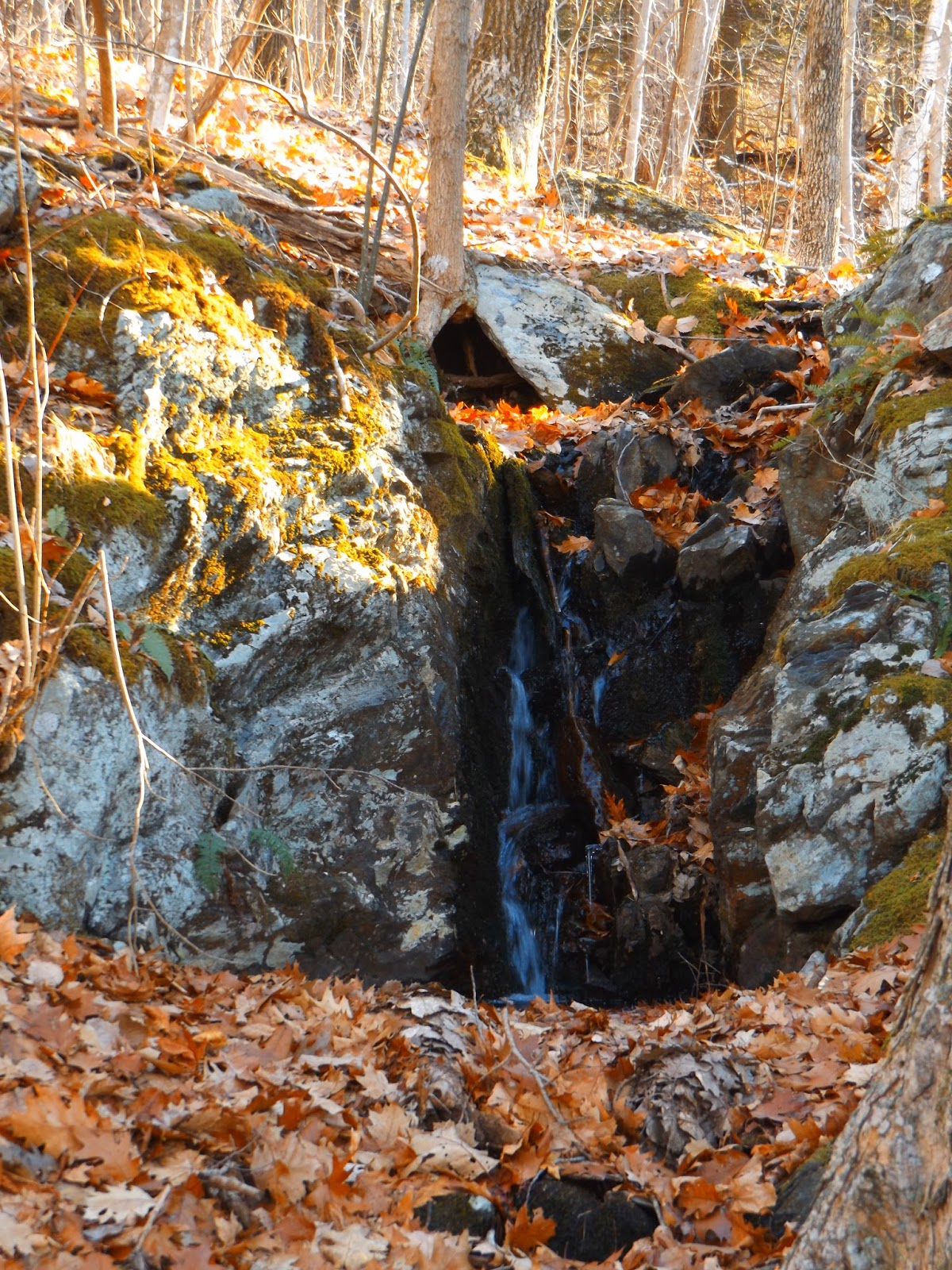
A small cascade dropping through a split in these boulders.
The trail turns north again and passes the steep slopes beneath Thorpe Mountain.
There are several brooks which flow down the steep slopes of the mountains along the trail, providing pleasant views of cascades.
A wider view of the cascades.
A few hundred yards past the first set of falls is another, more significant waterfall and cascades.
Waterfalls.
The South Taconic Trail soon passes over a quiet dirt road(Kaye Rd detour) and continues north on the opposite side.
Just after crossing the road, a newly built foot bridge crosses a small stream.
Continuing in a general north direction the trail soon heads west towards more open ledges.
Wide open west facing views towards Round Ball Mountain near the Dutchess County/ Columbia County line.
Climbing up on the open rocks, where cold November winds were blowing briskly.
Leaving the bare rocks, the trail re enters the woods and soon a coniferous forest.
Passing yet another cascade.
Ridge line hiking.
Crossing the headwaters of Webatuck Creek.
The trail continues north, where a steep drop off is only a few feet away with broken views through the trees to the north and west.
Screened views over the nearby farmland.
Just south of South Brace Mountain is an exposed ledge, with perhaps the best views of the day. the Catskills can easily be seen in the distance.
West facing panorama.
Looking south over the low brush from the ledges.
Looking directly north at South Brace Mountain.
A northwest panorama with South Brace hulking over the valley.
After arriving at the trail junction with Quarry Hill Road, I turned around, retracing my steps south towards Shagroy Road.
Descending the wide woods road.
Passing an old foundation near Iron Mine Pond.
A rope swing over Iron Mine Pond.
Just before arriving back at the car, the white marked South Taconic Trail passes by Iron Mine Pond and arrives at a small field which provides a great view of the pond.
Arrived at the car after about 9.6 miles RT on a sunny, but cold and windy day.


So good to see first impressions of the trail. I expect that it connects to the South Taconic Trail over Brace Mt. and beyond. Looking forward to seeing this extension on a map. Thanks for the commentary and photos.
ReplyDeleteGlad you enjoyed the trip report, and yes, the trail continues over Brace Mountain and well beyond. There are multiple view points along the way, making this a very fun and scenic area. Thanks to all those who had a hand in building this new section of trail
Delete