My buddy Jim is as knowledgeable on hiking as anyone I have met, from the Catskills to Adirondacks all the way to Vermont. One area that he is not all that familiar with is the Berkshires of western Massachusetts, including the Greylock Range. It just so happens that this is an area that I am very familiar with and therefore, was more than happy to share some of my experience with Jim. Our plan for the day was to do a two car traverse, leaving a first car at the Jones Nose parking area along Rockwell Road and then driving to the Haley Farm to begin the hike. We parked the car at an elevation of just over 1100 feet and began our hike, under sunny skies and beautiful, warm fall weather.
The first part of the hike passes picturesque Haley Farm and then along the old Hopper Road, under a canopy of colorful trees, as well as a carpet of fallen leaves.
Old stone walls line this section of the old road.
A short distance in, the trail turns right and crosses an open field with a fantastic look back towards Mount Prospect just to the north.
The trail heads south then east, climbing through a colorful, mostly hardwood forest.
The hike up to Stony Ledge has a nice, steady ascent with a couple of steeper sections.
A little over 2 miles into the hike is a small spur path to a nice view north int Williamstown.
Just prior to reaching the summit of Stony Ledge is a camping area with Lean To and picnic tables.
After about 2.5 miles, we arrived at the 2560 foot summit of Stony Ledge, with its incredible views out over the Hopper. The Hopper is the giant chasm between Stony Ledge and Greylock. Here is a look north towards Mount Prospect, Mount Williams and Mount Fitch.
Jim was thoroughly amazed by the views from this vantage point. We stayed here for quite a while, eating lunch and taking many photos.
Continuing on past Stony Ledge, we followed Sperry Road south, then southeast towards the Sperry Road campground area.
The foliage along Sperry Road was fantastic, and there were several other parties out enjoying this stretch near the campground.
We left Sperry Road, taking the Hopper Trail east towards its junction with the Appalachian Trail. This stretch of the Hopper Trail was loaded with beech trees and ablaze in orange.
Jim and I were both surprised to pass through some wet stretches of trail along Saddleball's long ridgeline. Due to the very dry conditions persisting elsewhere, this was the most water we had seen on the trail since the spring.
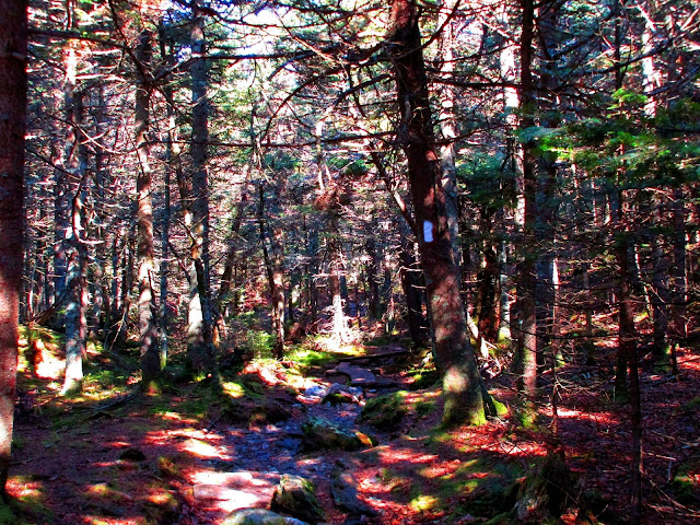
Saddleball Mountain passes through mostly conifers and has a very long ridgeline, with four small summit bumps. The southernmost summit bump is considered the summit, with an elevation of 3247 feet. Other than its northern neighbor Mount Greylock, this is the only other 3000 plus foot summit in the Commonwealth of Massachusetts.
About a .25 mile hike past the summit is a trail junction, where the Appalachian Trail heads left. Continue a short .2 mile south on the AT here, past the Jones Nose junction, and you will be rewarded with a nice view from a clearing to the east off of Saddleball Mountain.
The town of Adams sits far down in the valley to the left with the rolling countryside stretching far beyond.
The weather had warmed to 80 degrees, as we began to descend Saddleball Mountain, via the Jones Nose Trail.
A small spur leads to a great view west towards the Route 7 corridor and Brodie Mountain's wind farm.
The descent down the south face of Saddleball Mountain passes through a transition of conifer forest to hardwoods and is gorgeous under fall conditions.
Incredible fall foliage.
Descending down into the open meadows below Jones Nose.
One last look back north to Jones Nose, a southern shoulder of Saddleball Mountain.
Southeast views from the open fields below Jones Nose.
We made one last stop for the day at the short Robinson Point Trail, which drops down about 250 feet in a quarter mile from Notch Road. The views from this spot are spectacular.
The Taconics in the distance, with the beautiful fall colors of Mount Prospect(L) and a shoulder of Mount Fitch(R).
Driving Jim back to his car at Haley Farm, with Mount Prospect standing proud in the afternoon sun.
Total mileage for the day was about 8 miles RT and 2700 feet elevation gain.


No comments:
Post a Comment