My buddy Jim Hopson and I had plans to hike 3080 foot Ashokan High Point in the Catskills Tuesday, but after carefully looking over maps, we thought we had a chance at some views along ledges on neighboring 2190 foot South Mountain to the north as well. So we spotted a car at the Kanape Brook trailhead along County Route 42(the conventional route to AHP) and then drove a second car to South Hollow Road and parked along a shoulder of the road at the start of state land. Elevation to start was a little over 1100 feet. We walked up the road past the last house and entered the woods, soon crossing fast flowing South Hollow Brook.
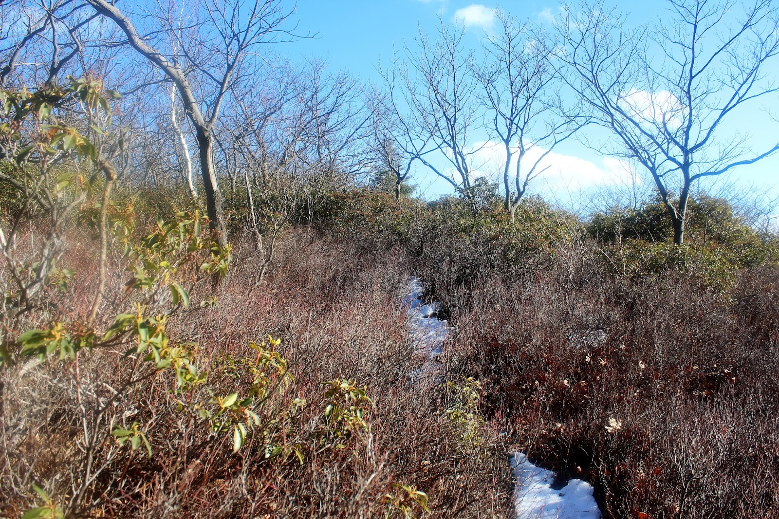
We headed up through a mostly open hardwood forest, with patchy sections of deep snow and thick mountain laurel.
Although the mountain laurel was fairly thick in spots, we skirted it the best we could and enjoyed a very nice bushwhack.
After climbing up above 2000 feet, we began to spot broken views at the edge of the woods. We headed in that direction and were pleasantly surprised to find wide open rock ledges.
From the rock ledges were sensational views to the south and west.
South Mountain's rock ledges provide an interesting view towards Little Rocky(L) and all the way over towards Peekamoose and Table on the right.
We continued our bushwhack up through open hardwoods to the wooded summit of South Mountain, before descending south and east onto a land bridge towards Ashokan High Point. We hugged a series of ledges again with more tremendous views back towards the Burroughs Range.
The Burroughs Range with South Mountain to the right in the foreground.
The drop was nice and easy to a low point of about 1800 feet. We soon found a ledge with a view Ashokan High Point's ridgeline, of our next goal.
Continuing south, we steadily climbed up the snowy slopes towards AHP. The drop off to the east, towards the Ashokan Reservoir, was quite steep through the woods.
Eventually we began seeing red trail markers, meaning the bushwhack part of the day was over. Moments later we arrived in a large clearing just below AHP's summit. From here there were more views towards the Burroughs Range(although not quite as good as the previous ones)
A fire pit sits in the middle of the clearing and makes a nice spot to stop and rest. These fields are covered in blueberries during the summer.
Arriving at the summit of 3080 foot Ashokan High Point. My 58/102 Catskill High Peak.
The small opening at the summit of AHP provides a good, but only partial view .
We dropped off the ledges on AHP's summit, beginning a .3 mile bushwhack, 400 foot drop east to Little High Point. There is a good herd path when there is no snow on the ground, but we broke trail through the snow today. The col in between AHP and Little High Point provides a screened view down towards the Reservoir.
The path becomes a little more easy to follow on the climb up to Little High Point through low bushes.
The summit area and open ledges on Little High Point are fantastic and provide great, nearly 180 degree views tot he south, east and west.
A nice shot of Jim pausing to look back at Ashokan High Point, hovering above us just .3 mile away.
Rock ledges with views out over the Hudson Valley.
Wide open fields towards Little High Point's summit.
Jim soaking in the views. The open ledges are mostly south facing, meaning there was almost no snow in this area.
We found some good Ashokan Reservoir views from a shoulder of Little High Point.
We bushwhacked the north side of Little High Point searching for more Reservoir views, but to no avail. Defeated, we headed back towards AHP, which was a steep 400 foot climb in .3 of a mile.
Standing right below the summit rocks on AHP.
We followed the marked trail down off of AHP, which heads steeply to the south and then swings sharply to the west.
Looking back towards AHP's ridge line standing prominently beyond the shadows.
Jim crossing a small foot bridge over Kanape Brook.
Kanape Brook running high through the winter woods.
The hike out was uneventful and followed an old road through the dark valley of Kanape Brook.
Runoff on nearby slopes from snowmelt.
Kanape Brook widens and runs swiftly along as the trail nears its terminus.
We arrived back at the spotted car in the DEC parking lot feeling extremely satisfied. Hiked about 10 miles RT, with over 3000 feet elevation gain for the day.


Do you have a map of the route you did
ReplyDelete