Cloudy, rainy conditions were forecast for much of the day, so I decided to do a small hike in rural Montgomery County at the 198 acre Schoharie Creek Preserve. The preserve is a Mohawk Hudson Land Conservancy property and located in the town of Charleston.
Directions from the Mohawk Hudson Land Conservancy's website:
From the intersection of Routes 20 and 30
in Duanesburg, drive 1.7 miles north on Route 30. Turn left onto Eaton
Corners Road. After another 1.7 miles, turn left onto Bramans Corners
Road. Cross over the Schoharie Creek and turn right (note firehouse on
the left) onto Burtonsville Road. Proceed 1 mile to the intersection of
Burtonsville and Butler Roads. Turn right onto Butler Road for about 50
yards and turn left into the parking area.
A small man made pond can be seen directly beside the parking area.
Stone walls bordering a farm property to the west.
Meadow views from the west boundary of the preserve.
Morning rains meant wet and muddy trails.
As I continued along the trail, a light mist fell. Luckily, it never picked up to anything more than a sprinkle.
The blue loop trail begins to drop down towards Wilsey Creek. The trail itself doesn't actually go down to the creek, so you must be careful dropping down the steep banks towards the water.
There are several picturesque cascades and falls along this section of the creek.
A beautiful, larger set of falls just downstream.
If you so choose, you can wander around a bit down by the creek, getting better perspectives of the falls.
One of several of the small, ledge cascades.
I explored Wilsey Creek downstream for a little bit. The moss covered rocks along the creek are very slick, so be sure to use caution if walking here.
Eventually, I left the creek, pulling myself back up out of the steep ravine to the main trail. A bit further along the trail crosses Butler Road.
Once on the east side of Butler Road, the trail begins to drop down through an evergreen stand down towards the Schoharie Creek. At a bend in the trail, an informal path heads north on a badly eroding sliver of land that separates Wilsey Creek and Schoharie Creek. From here, there is a screened view back towards Butler Falls on Wilsey Creek(the largest of all the waterfalls at the preserve), but it is nearly impossible to safely get a better perspective
If you do choose to walk this eroded sliver of land, use extreme caution, as there is a drop off of nearly 40 feet on each side. Eventually it comes to a steeper point where I chose to turn back.
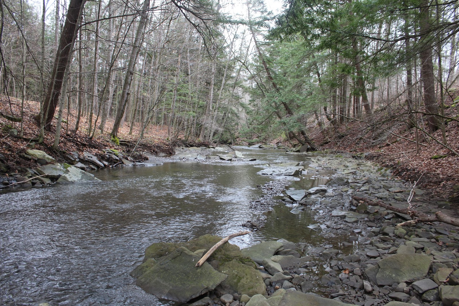
The Preserve offers about 2000 feet of water frontage on the Schoharie Creek, and part of the trail closely follows the creek's edge.
Heading south along the floodplain section of trail.
The climb up away from the Schoharie Creek is quite steep and muddy in spots, with help from stone steps in some areas.
New buds with rain droplets.
The spring season can be very interesting and highly changeable day to day. The greening up of the landscape is taking hold here, from the bottom up.
Enjoyed a 1.5 mile RT hike on a bit of a dreary spring day. One word of caution: I had to pick off five ticks along the way, so do yourself a favor and make sure you spray yourself and then check yourself.


No comments:
Post a Comment