One of the most well known landmarks in all of the Berkshires is the
famous "hairpin" turn on Route 2 climbing up and out of North Adams,
which many people drive by every day. I, myself, have driven this rod
countless times, always admiring the beauty and uniqueness of the steep
climb up the Hoosac Range. I recently discovered that there is a hiking
trail that climbs up these steep slopes, starting from North Adams at
an elevation of just over 1200 feet, and climbing up to the Western
Summit of Florida Mountain, which stand at about 2020 feet. There is a
small circular parking area across a mobile home park with trail
signage along Route 2.
The trail itself actually starts just a few yards further up Route 2 beyond a guardrail.
The
trail continues through a muddy section in the woods paralleling Route 2
for a short distance and then turns and begins to climb up through
hardwoods.
Screened views down to Route 2. Unfortunately the trail is never too far from the sounds of traffic.
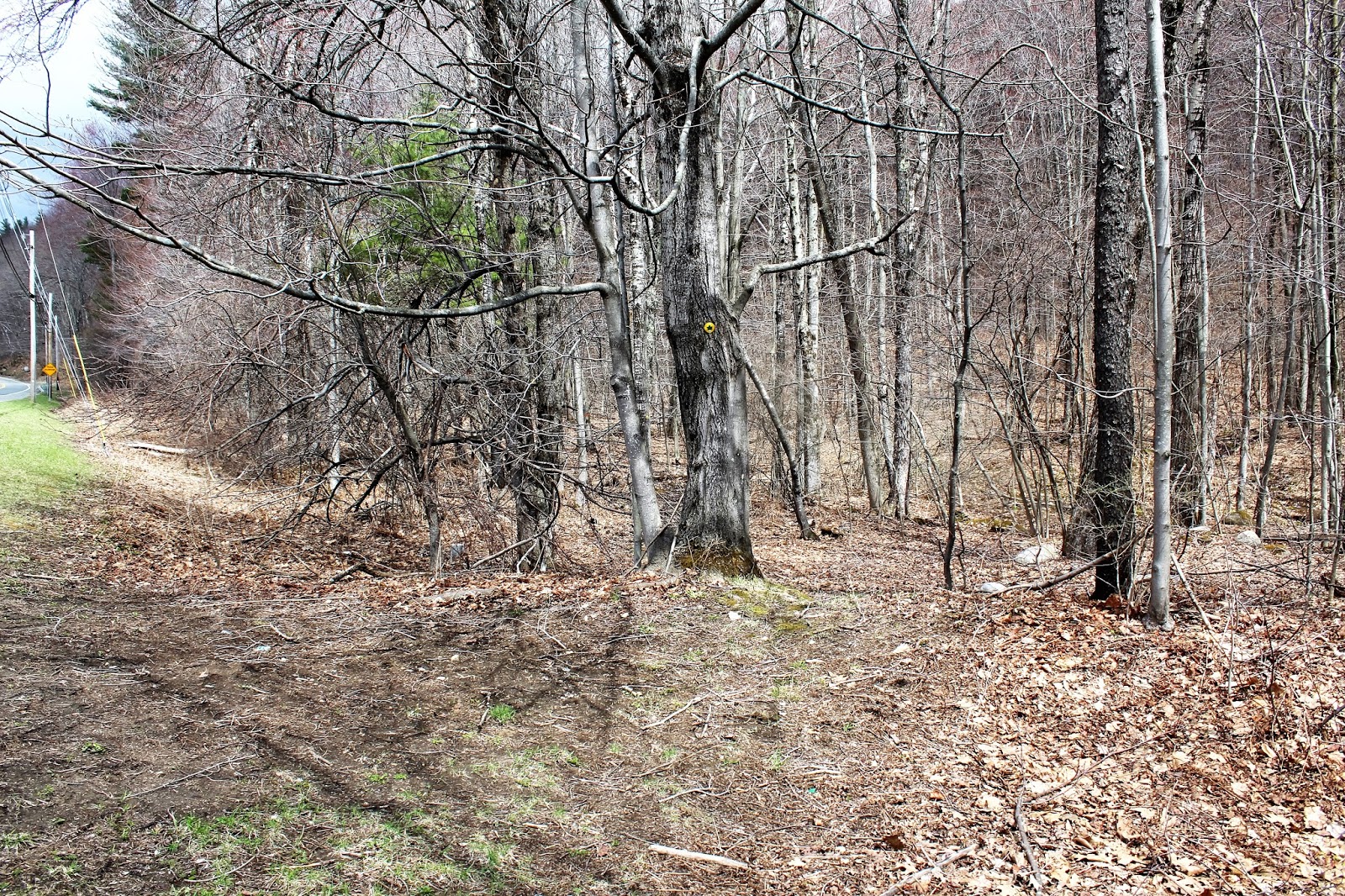
Signage is spotty in some areas and really good in others. I also spotted some older paint blazes on trees from an older, pre-exisiting trail.
A run off stream area gives an idea to the grade of the climb.
Nearing the top, I passed under some power lines that run up to the Western Summit.
The
trail is short but steep, climbing almost 800 feet in about .85 miles.
Just as you feel in you are truly in the wilderness, the sounds of
rushing traffic and voices at the overlook can be heard. I suddenly
arrived at a viewing platform at the West Summit of Florida Mountain,
overlooking North Adams to the west.
A zoom view down into North Adams.
A nice rural view just north into Clarksburg.
The abandoned Wigwam Cabins and gift shop at the Western summit.
Unfortunately, dark clouds seemed to hover just above the Hoosac Range to the north.
Descending on an old section of the Old Mohawk Trail back down to the car. Round Trip mileage is only about 1.7 miles.
I stopped for a moment at the base of the mountain again looking back to see dark storm clouds directly above the Hoosac Range.
The hike is steep and short, but nothing too difficult. I would
certainly not recommend this being a hiking destination in itself, but
can be a very fun and rewarding short hike.
Skies really began to
clear out on the drive home, making for delightful spring conditions. I
stopped off to enjoy this relaxing spot on the Green River in
Williamstown.
Oblong Road presents a beautifully framed shot of the Greylock Range to the east.
My
ride was finally punctuated by this beautiful spot in Hancock just off
of Route 43 on Whitman Road. Brodie Mountain and its wind towers,
rising directly above Starobin Pond.


No comments:
Post a Comment