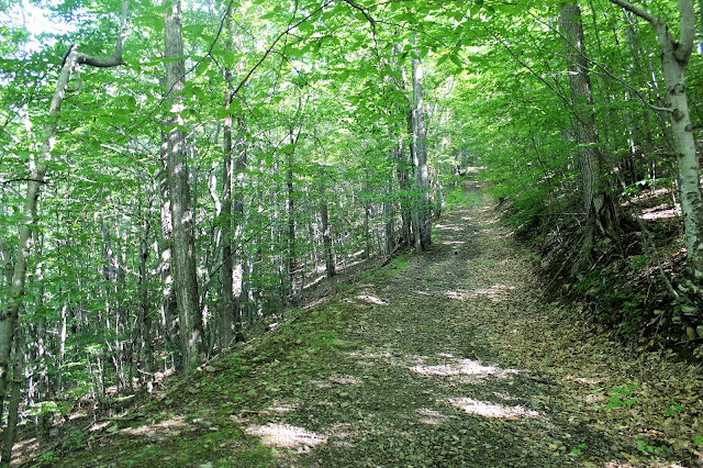
To start the hike head to the right of the trailhead sign, crossing over a small stream and arriving at a kiosk and small open meadow. From there begin the ascent on a red marked DEC trail, which is actually an old woods road.
The trail climbs quite steeply, ascending over 1300 feet in 1.3 miles.
After 1.3 miles, the trail arrives at a junction with the blue blazed Belleayre Mountain Trail.
I turned left, following the trail up less than a quarter mile to the Belleayre Mountain Lean To.
After stopping by at the Lean To for a few minutes, I continued on to the East Belleayre Mountain summit at 3360 feet elevation. This was the site of a former fire tower, which is now just an open field.
Less than half a mile from the East Belleayre summit on the red marked Belleayre Ridge Trail, I arrived at the Hirschland Lean To.
The view from the Hirschland Lean To.
After about 1 mile from the east summit, I arrived at the large clearing near Sunset Lodge. These fields are quite overgrown with abundant wildflowers.
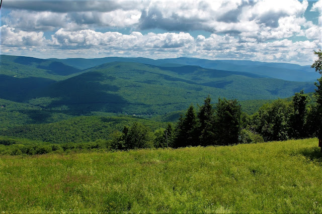
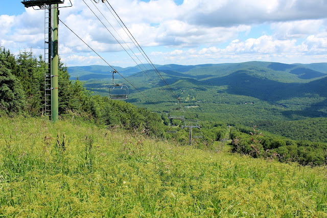
The ski slopes near Sunset Lodge provide fantastic north facing views towards Halcott and Mount Sherrill among others.
Ski slope views.
A gentle breeze and low humidity made for perfect conditions to enjoy the vista.
Soaking in the views.I explored the wide open area around Sunset Lodge, which is a ghost town during the summer months.
The back deck of Sunset Lodge provided a great place to stop and relax and take in the southwest views towards Balsalm Lake Mountain and Dry Brook Ridge.
Belleayre Ski signs.
Wildflowers in bloom.
After enjoying the views, I continued on the service road west towards Deer Run which leads a short distance to the true summit. Unfortunately there was a large group of ski area workers on Deer Run, so I tagged the summit and made a hasty retreat.
Retraced my steps back down off the mountain for a total of about 6.8 miles RT, with over 2200 feet elevation gain.
Took the long way home, exploring some back roads and enjoying the Catskills.
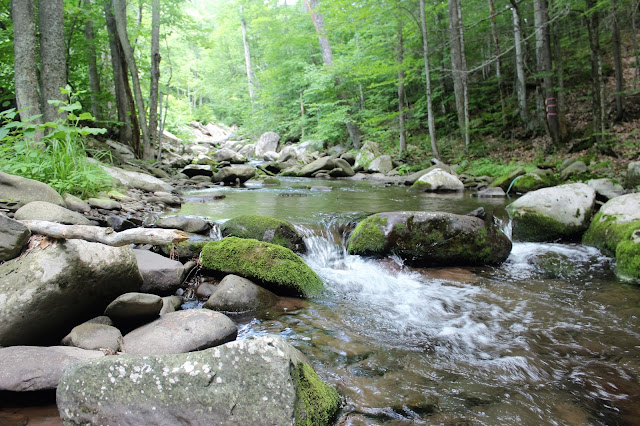
Broadstreet Hollow Brook.
The view south towards the Escarpment from Greenville.


No comments:
Post a Comment