Headed down to the Catskills with my buddy Jim again today to hike along the eastern escarpment, hoping to go from the bottom up. We spotted a first car at the Platte Clove parking lot, then drove down seasonal Platte Clove Road(which was still open) to a small pull off where the state access begins and private property ends. This would be our start for the day, at an elevation of about 1050 feet. Incredibly, Huckleberry Point's ledges sat a mere .4 of a mile away from us, but some 1150 feet higher.
Immediately after leaving the car, the climbing commenced. We headed slightly east/ northeast first to ease the grade and catch the ridge.
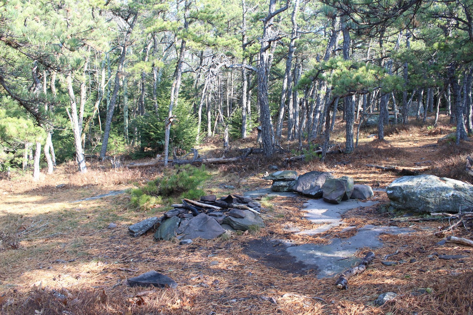
We ascended quickly, but didn't hit anything too difficult. Soon we were rewarded with an outstanding view point from a small, informal campsite, complete with a fire pit.
Looking south along the edge of the escarpment towards Plattekill and Overlook Mountains.
Plattekill looks quite impressive from this vantage point, rising up to 3100 feet.
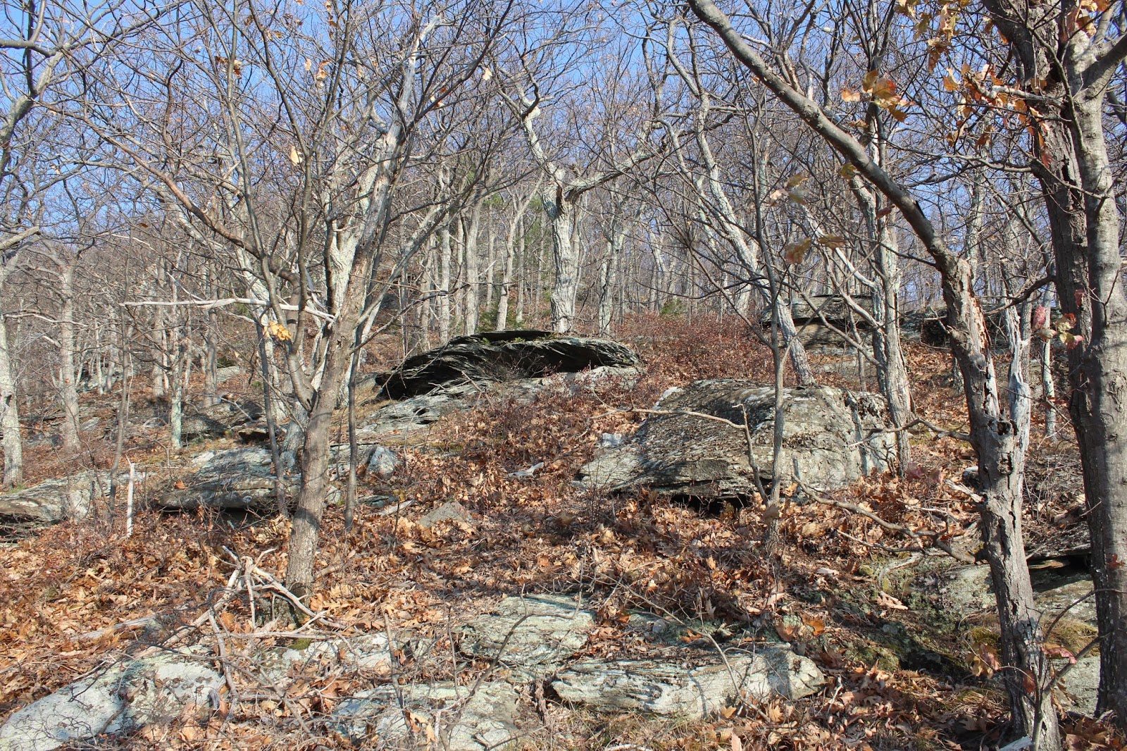
A short distance beyond the camp site, we came to the first set of rock ledges, which were quite impressive.
Jim wandering over to the rock wall, looking for a potential way up.
We had to flank the rock bands, easily finding a chute up the right side. Once above those rock ledges, we began to find some nice views of the thick fog out over the valley.
There wasn't a lot of room to work with in spots, as we hugged close to the rock bands, high above the drop below.
A very nice rock ledge at about 1700 feet provided a great view south and east. I took this photo looking down on Jim at the ledge, with the valley fog providing an eerie undercast.
As we climbed we hit one open ledge after another, each with a varying perspective of the escarpment. The fog from the Hudson Valley was amazing, as it ran smack into the base of the escarpment wall.
A better look down at the fog.
Jim, exploring some ledges, checking out the views.
From 1700 feet up, it was basically one view point after another, with your pick of the best spot. As we neared 1900 feet, we began to get a much better perspective of the view up Platte Clove, with Indian Head off in the distance.
From 1900 feet, the view across the clove to Plattekill Mountain.
A glimpse down into the Clove, nearly 1500 feet below.
The fog can clearly be seen making its way right up Platte Clove.
A wider look down from the ledges towards the vast valley fog.
Jim heading up through a rock filled area, where rattlesnakes are known to make an occasional appearance. Luckily we didn't spot any today.
The view from the rocks was very nice as well.
Typical open woods on the ascent.
A large boulder, which presumably dropped from above long ago and found a nice resting spot.
Suddenly, we arrived at what appeared to be the remains of an old carriage road. Not sure of the origins of this road, but very interesting.
Yet another in the series of ledges, this once again, with a viewpoint further up Platte Clove.
Jim can be seen here investigating this old rock cavity.
Another camp site with a view. This area was laced with herd paths, going in seemingly all directions.
Once we hit 2000 feet, the ledges were nearly everywhere, with abundant views. Here is a nice look up at the cliffs on Huckleberry Point just above us.
Exploring the ledges provided a nearly vertical view down into the Clove, far, far below.
The view up Platte Clove, with Twin's north summit and Sugarloaf's ridge line visible in the far distance.
The fog down in the Clove.
An impressive view down into Platte Clove.
The final push up towards Huckleberry Point involved some creative climbing.
The view back down at our route up.
Arriving at Huckleberry Point, at about 2200 feet elevation. The views from here are well known and for good reason. Five stars!
After hitting Huckleberry Point, we wanted to push on up to the actual summit area, nearly a half mile north. We followed the marked trail a short distance before heading back into the woods to bushwhack the rest of the way.
A clearing with a fire pit, a couple hundred feet off the trail.
The climb up to Huckleberry Point's summit was by no means steep, but was laced with mountain laurel for a bit. Luckily, we left that behind and made our way up to the summit area through mostly open woods. Here is a screened view west.
The wooded, nondescript 2540 foot summit bump.
We continued north off the mountain, heading towards Kaaterskill High Peak's east summit. Along the way we passed a wetland of sorts in an area not frequented by many hikers.
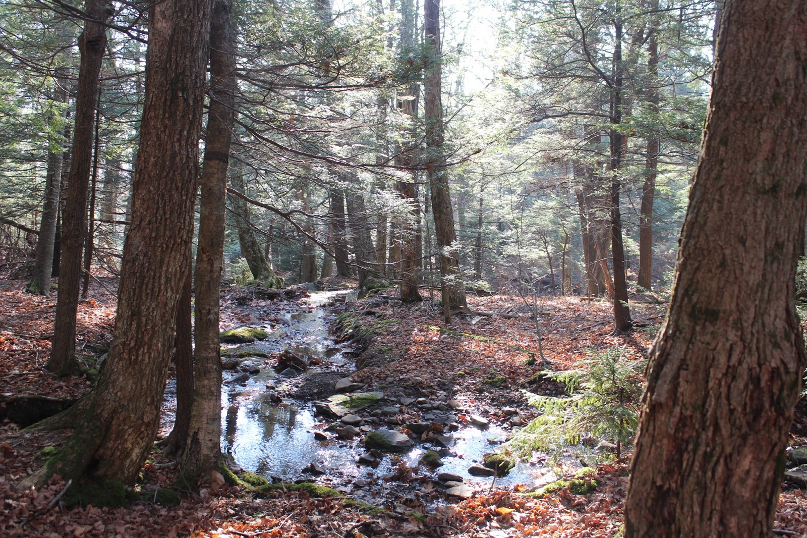
Heading northeast, we eventually crossed over the headwaters of the Lucas Kill, which drops steeply off the escarpment wall, eventually draining into the Platte Kill.
Early afternoon sun shining down on the Lucas Kill.
At just over 2350 feet, we began to climb, heading north.
The woods on our way towards the east summit of High Peak were incredibly open and inviting.
We tried our best to stay right along the escarpment wall, hoping for a view. Once we hit the 3020 foot small summit bump, we managed to find one small opening. That was all we needed to capture the view down into the "Kaaterskill Ampitheatre" to the east.
The drop off from this vantage point is extremely steep and good footing is a must. The ridge seen on the right is the south rim of the Ampitheatre, which we had just been on.
After enjoying the view, we headed back west, soon picking up the Long Path, which brought us all the way back to the first spotted car. The trail was ice free and we made very good time coming back.
Hiked about 8 miles RT, with nearly 2/3 of the miles being bushwhack. Roughly 2200 feet elevation gain for the day.


No comments:
Post a Comment