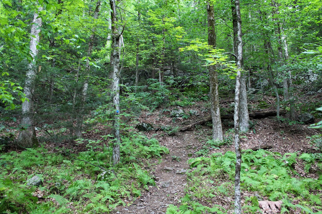
I paid a nominal fee and got a trail map at the office, before heading out. There are a multitude of trails that wind their way through the property with many different hiking options. I took a couple of the smaller trails that lead over to Pikes Pond, which makes a great spot to pause and take in the nature.
Deadfall in the water actually enhanced the pond view.
The trail passes tantalizingly close to the waters edge.
Soon enough, I found my way over to the Trail of the Ledges, a steep route up to the summit.
These rocks and roots on the trail made for a scenic ascent.
Nearing the summit, the first good view of the day can be found to the northeast. It is a fine view, but nothing compared to what awaits at the top.
After about 850 feet of ascent, I arrived at the 2126 foot summit of Lenox Mountian. A large, fenced in tower greets you, but the grand view is only a few yards away. Northwest views, with Richmond Pond drawing the eye.
A zoom view down towards Bartlett Orchard in Richmond.
The view north is quite impressive as well. In the distance, the peaks of Pittsfield State Forest(L) tower above Onota Lake. Yokun Seat, the next summit bump north on Lenox Mountain's ridge is in the foreground.
There is a sizeable clearing to explore below the summit on the west slope. Here is a view back up towards the summit tower.
As the calendar prepares to turn to September, some of the leaves are getting a head start.
Southwest views over the Richmond countryside, stretching down into West Stockbridge.
After enjoying the summit views for a while, I continued north on a herd path towards Yokun Seat, the next summit on the ridge. While not a marked trail, it is wide and very easy to follow.
After about 7/10 of a mile, I arrived at the clearing at Yokun Seat(Bakers Peak), which is only a few feet lower than the summit. The views west/ northwest from here are outstanding.
To the west sits Richmond Pond, from a slightly different perspective than back at the true summit.
A zoom view down to Richmond Pond, with the Interprint building being notable along the west shore.SW views over Richmond and West Stockbridge.
There are a couple of different clearings on the west slopes below the summit(much like the true summit).
To the north, the city of Pittsfield sits peacefully in the valley.
Once back down off the steep slopes, I took a series of trails past some beaver ponds on my way back to the car.
A bridge crossing over Yokun Brook, which is much more like a large beaver pond in this location.
Arriving back at the main offices near the parking area.
Hiked about 5 miles RT with over 1100 feet of ascent...and thankfully the rain held off.


No comments:
Post a Comment