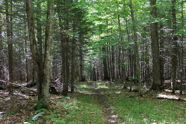
Our main goal for the day was to hike 2234 foot McGinn Mountain, a peak that receives so little attention that is not even labeled on the National Geographic Trails Maps. We parked at the end of Pelon Road in the village of Indian Lake and began our hike heading north on a snowmobile trail.
There are several trails that break off in different directions, including a loop, but we continued in a northerly direction towards McGinn. Following our GPS, after over 3 miles, we decided to leave the trail at a height of land about 7/10 of a mile away from the summit. We opted to make things more interesting by heading right at the steep rock face, easily finding a chute until....
...a second, much more formidable rock wall, stood in our way. There was no way up this one, so we had to go around it altogether, although that wasn't very hard either.
Once we emerged atop the ledges, the panoramic view to the south unfolded before us. Here, we caught a nice look at Snowy Mountain with its prominent point, as well as Panther taking center stage to its right.
The view towards the hamlet of Indian Lake. Adrirondack Lake is the lake to the right, and Lake Abanakee is the body of water to the left.
The combination of the perfect weather and incredible views had us searching for words to describe this spot.
There is a sheer drop off below these ledges, so if visiting please be careful.
The view west towards the "Little High Peaks" is as good as it gets for this area.
Continuing along the rock ledges, which are quite long, we found even more views to the east/ southeast towards Bad Luck Mountain and beyond.
East views over the Hudson Gorge Primitive Area and the Vanderwhacker Wild Forest.
SE views over Bad Luck Mountain towards many of the peaks in the Siamese Ponds Wilderness.
More south/ SW views.
SE/ south views.
A zoom view towards Lake Abanakee, with the Route 28 causeway easily visible.
Nature's paint brush is just beginning to paint the landscape in the central mountain region, offering up a preview of what's to come.
A large, open rock sits atop the 2234 foot summit a mere 1/10 of a mile above the ledges. Although nice, unfortunately there are no views to be had from here.
We decided to take the gentler, northern route off the mountain, where a much more mellow descent brought us back to the trail.
Enjoying good conversation and perfect early fall weather as we headed out the last 3 miles on the snowmobile trail.
Our route for the day, which covered 7.5 miles with about 900 feet of ascent.
A spectacular, unknown little peak, with much to offer those willing to leave the beaten path.


No comments:
Post a Comment