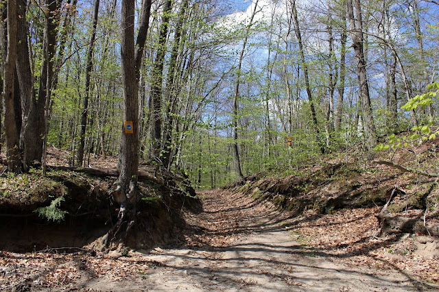
Decided to do a little bit of a change of pace hike today, following a rough snowmobile route about 3 miles into a large Vly in the rugged Ferris Lake Wild Forest located in the southern Adirondacks. With nearly 100% sun and temperatures climbing into the low 70's, I was anxious to get out and explore a new area to me. I parked in the large turnaround at the very end of Glasgow Road, which can be found west off Route 10, about 3.8 miles south of its junction with route 29A in Caroga Lake. With the weather being so nice on a weekend day, I thought for sure I'd see several other cars at the trailhead...but I was wrong. Much to my surprise. I was the only car there when I arrived!! What are the chances? Set out on the trail from the corner of the parking lot heading northwest, elevation 1330 feet.
The trail is actually a marked snowmobile route and an old continuation of Glasgow Road, which dates back to the late 18th century. It heads generally northwest, reaching Glasgow Mill Site at 1.2 miles in. This makes a very nice spot to stop and explore this handsome body of water and Mill remnants.
There are several different ways to enjoy the Millpond, as many rough herd paths seem to wander along the water's edges. One nice spot where they converge is in this small clearing just a few yards off the main trail.
Being a wide snowmobile trail, its condition remains quite damp on its long course NW towards Hillabrandt Vly, with several ups and downs along the way.
After 2.9 miles of relatively easy hiking(460 foot elevation gain), a small spur path leads down to a prominent campsite on Hillabrandt Vly's south shore. This spot is pure gold...especially if you have it to yourself like I did today!
There are many other great spots along the south side of the Vly to enjoy the water views, which were pretty incredible today.
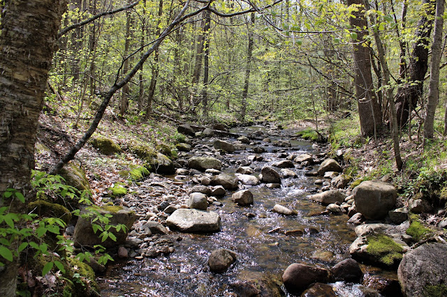
Crossing over a bridge in a bad state of despair, I enjoyed a nice look downstream at Middle Sprite Creek.
A small, grassy spot beside a beaver dam near Middle Sprite Creek is quite possibly my favorite spot to take in the view. Couldn't have asked for better conditions!
At a bend in the trail, in the SW corner of the Vly is this magnificent view. I was pleasantly surprised at just how beautiful this area is.
Hillabrandt Vly is quite a large body of water at 55 acres, and there are a couple of nice spots that allow you to take in much of the view.
Less than 1/3 of a mile beyond the Vly sits an old abandoned hunting cabin that seems so oddly out of place. The cabin was owned by the Hillabdrandt Rod and Gun Club until the state took over the land in 1979, and surprisingly has never removed it.
From the cabin, I traced my steps back past the Vly and all the way to Glasgow Millpond once again. This time I decided to take part of the trail that explores the southeast end of the water along an old earthen dam.
In the area around the southeast side of the Millpond I was able to find many various cellar holes and old foundations near Glasgow Creek.
After enjoying my history lesson, and just before heading out the last mile on the trail, I decided to check out a small area of rocky ledges that sit just north of the trail, a short 2/10 of a mile bushwhack away. It didn't really look like there would be any views, but it was worth taking a look.
Unfortunately any views were too obstructed by trees, although I could easily make the out the ridge across the trail to the south.
Route in red(trail) and short bushwhack in blue.


This is a great little hike. You're right, that campsite on the Vly is a gem. The first time I explored the old cabin, it just stank of "mouse". I'm surprised it's still standing. Thanks for sharing.
ReplyDeleteThanks Tick! I really enjoyed this hike and couldn't believe I had the place to myself on a beautiful weekend day! As far as the cabin goes, I did not go in, although I did peek through the window and looked pretty tidy. Wonder why the state never took it down?
DeleteHow is it for fishing?
ReplyDeleteNot too sure to be honest. Beautiful area for sure, but haven't heard much on the fishing.
Delete