Headed up into the southern Adirondacks again this morning to do some off trail exploring of 2234 foot Trout Lake Mountain, a small peak near Route 10 in the Silver Lake Wilderness. I parked along Route 10 in the small parking area that provides access to Chub Lake and Sherman Mountain's cliffs(elevation 1680 feet). It is a marked pull off but does not mention any of these destinations, nor is there a marked trail anywhere here. There is however, a very good herd path that is quite easy to follow towards Chub Lake's east shore and beyond. I followed the path to Chub Lake and had to stop to pull out my head net, because the bugss were really driving me crazy. From the shore I also caught this nice look across the water to Trout Lake Mountain and the cliffs on the left side that I was aiming for.
As I continued on. the bugs were relentless but at least I had the head net to help. I made good time following the herd path, which was as good as a marked trail. Nearly one mile in, I came to a small stream crossing, which was an easy rock hop across.
Just beyond the stream crossing, thepath begins to climb, eventually leading up towards Sherman Mountain's cliffs. This was where I left the herd path and began my true bushwhack, climbing up through a mostly open hardwood forest heading north-northwest.
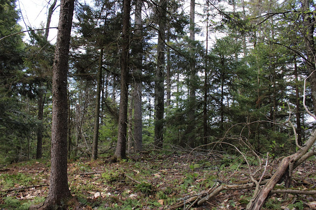
Just after the second grassy clearing, one last climb brings you into a scratchy, spruce covered summit area. Unfortunately, the 2234 foot summit is fully wooded and there no views at all
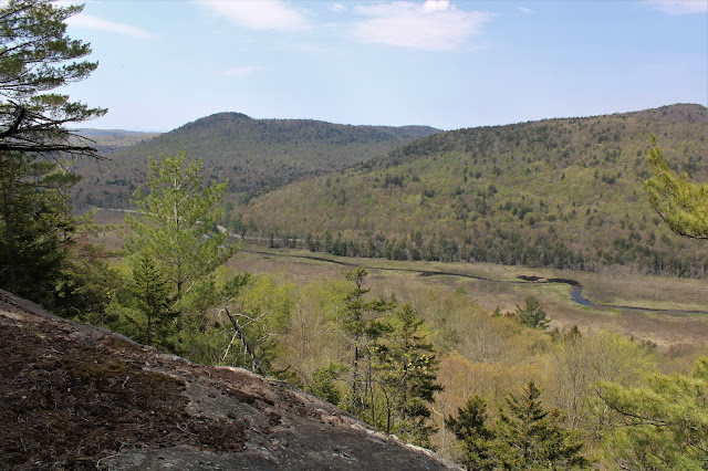
Just a short distance below the summit, on the very steep SW slopes, is a great ledge with terrific views. Route 10 and the West Branch of the Sacandaga River are front and center with Good Luck Cliffs to the left, and State Brook Mountain right.
A great view west down towards the West Branch, threading its way along with State Brook Mountain rising above.
NW views towards Tomany Mountain.
A short walk back from the lake brought me back to my car and thankfully away from the pestering bugs. They are really swarming now and I feel bad for anyone with a head net. Hiked about 4.6 miles RT with a little over 900 feet of ascent.
Route below. Blue=Route in Red=Route out


It wasn't too bad over the weekend in terms of bugs.
ReplyDeleteLuckily, they just seem to be pestering, not biting...yet
Delete