Search This Blog

Saturday, March 16, 2024

Brace Mountain's Western Ledges(Taconic State Park- NY)

After hitting Bear Mountain's east cliffs in Connecticut, I crossed over the Taconic ridge to the west into NY to hit some off trail ledges on Brace Mountain's steep slopes.  I parked at the trailhead along Quarry Hill Road(Elevation 960 feet) where I caught a glimpse of the cliffs I was aiming for just above the nearby trees on private property.

From the car, I followed the trail a short distance around the private property at the start of the hike, and then began my bushwhack north through wide open woods.  The slopes grew gradually steeper until I hit an old woods road that aided my climb.
Just above the woods road, the terrain becomes extremely rocky and steep.
Combining the woods road and a bushwhack, I made my way up to the first in a series of open clearings and ledges around 1700 feet. 
Although I was over 600 feet below the summit, the views from these ledges were nearly as good.   This is a dramatic look west over the valley of Route 22 towards Round Ball Mountain, Gentian Hill and Kite Hill.

From another expansive clearing further along, another grand view to the SW.
Sprawling view north towards the Harlem Valley with Taconic ridgeline to the right.
I explored several different clearings which each presented its own unique view.  NW view with Fox Hill to the left.

Beginning my descent through ledge after ledge and view after view.
One last, large clearing at about 1500 feet before I hit the real steep terrain.  This last view SW takes in a north chunk of Dutchess County as well as the southern Taconic ridge.

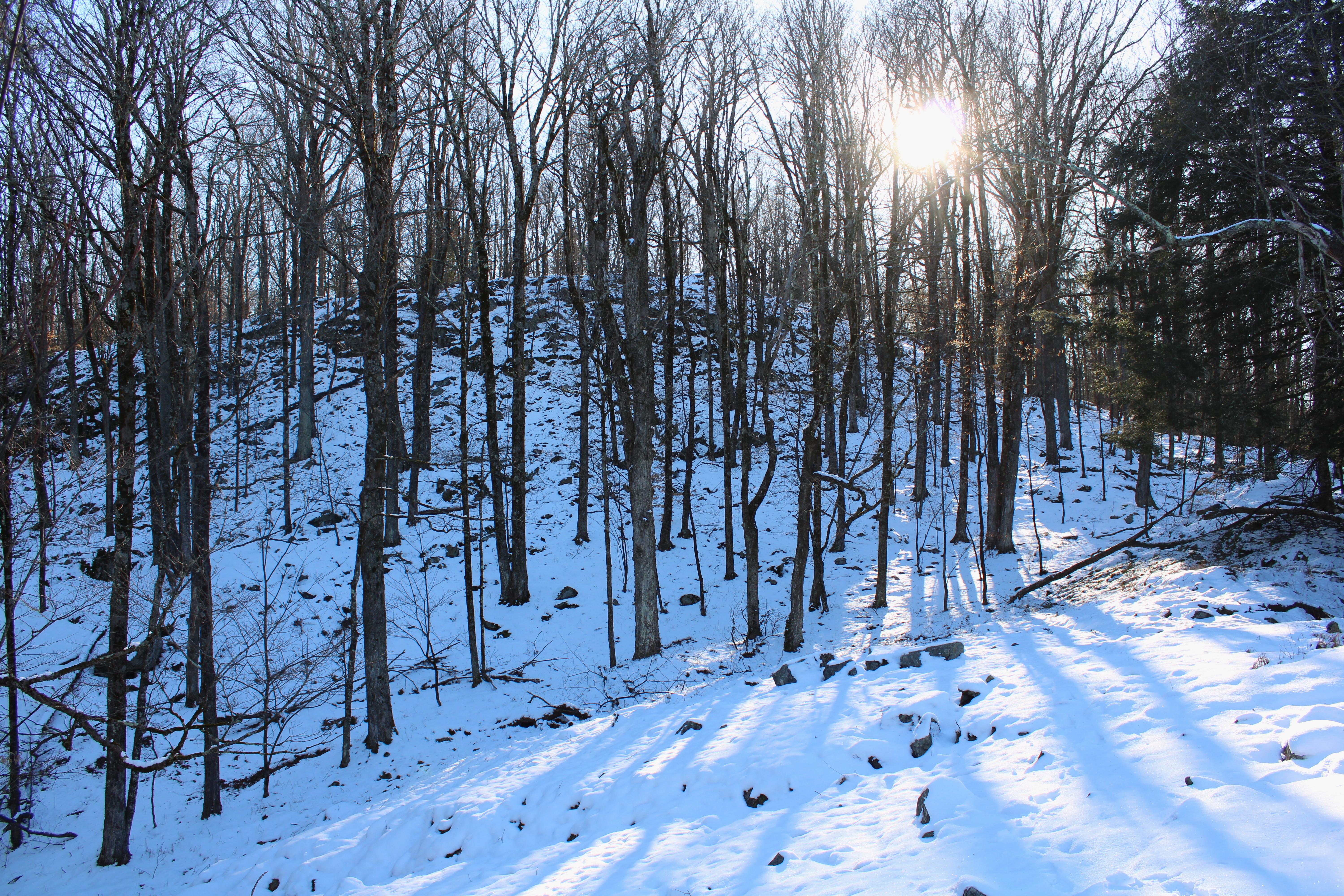
Instead of turning back to retrace my steps, I simply tried to complete a loop by dropping down SW in a direct line towards my starting point.  A very steep and tricky descent brought me down to some easier terrain and a drainage crossing in the late afternoon sunshine.

Once down low, it was an easy bushwhack through open woods to the trail and car.  Covered about 2.3 miles RT, with 800 feet of climbing and roughly 98% bushwhack.

Map below.  Blue P=Parking at TH on Quarry Hill Road.    Blue X=Large area of ledges


Bear Mountain's Eastern Cliffs (Mount Riga State Park-Connecticut)

Decided to head east into the northwest corner of Connecticut to check out a long series of cliffs and ledges along the lower slopes of Bear Mountain's east face.  Most of the hike today would be via trail, but the exploration of the the targeted area was all off trail.  Parked at the Undermountain trailhead along Route 41(Elevation 760 feet) and headed west along the marked trail, slowly climbing up to the junction with the Paradise Lane Trail.  From the junction I followed the Paradise Lane Trail to the Paradise Lane campsite.

Once at the campsite, I followed the well trodden path east over to a bear box and water source and then a nicely framed vista to the east.
From the marked trail and vista, I continued south passing along a series of additional ledges and open views.  There are many very nice vantage points to enjoy such as this clear view south towards Lions Head. 
From another open ledge, looking NE towards Washinee Lake and Washining Lake.

A great lunch spot with killer views to the SE, with Lions Head to the right.

After enjoying the great views, I turned back up and over the ledges and towards the campsite, where I picked up another path north.  I continued on this path north for a few minutes before beginning my true bushwhack towards a large set of cliffs.  The woods were wide open and easy to navigate as I passed by this small vernal pond.


Crossing over a small stream cascading down towards the edge of the cliffs below.

Carefully made my way down to the top of the cliffs, where the views are quite striking.  This is the view south along ridge I had just been on as well as Lions Head beyond.

From these cliff tops, there is a sheer drop off to the east, which provides a nice view down over Fisher Pond and Washining Lake.

After enjoying the views from atop the cliffs, I turned around and retraced my steps back to the marked trail and eventually my car.  Covered about 4.4 miles RT, with over 800 feet of ascent.

Map below.  Blue P=Parking   Blue Circle=First set of Ledges and Views  Blue X=Cliffs


Tuesday, February 27, 2024

Allaben Quarry(Shandanken Wild Forest/ Hunter-West Kill Wilderness-Catskills)

My second short hike for the day was a quick jaunt up to an old, abandoned quarry and tailings pile just east of Broadstreet Hollow.  I parked at the Allaben Primitive Camping Area(Eevation 1125 feet) north off of Route 28 and headed into the woods, closely hugging the state property line, while climbing north.

I veered right to the northeast through wide open hardwoods, soon picking up an old quarry road.
Arriving at the first of three large tailings piles, around 1520 feet.


At the top of the first tailings pile, I found a nice view north towards North Dome(left) and Saint Anne's Peak(right).  Part of Mount Sherrill can be seen on the distance left.


SE view from second tailings pile across Broadstreet Hollow.

View south towards Garfield(left) and towards Panther's multiple ridgelines.

From the viewpoints, I turned back south, following the old quarry road back.  From there, a very short bushwhack brought me to the car.

Hiked a total of 1.4 miles RT, with over 400 feet of ascent.  

Map below.  Blue P=Parking   Blue X=Quarry View


Boiceville Overlook on Piney Point(Ticetonyk Mountain Unit DEP-Catskills)

Did a couple of short hikes and enjoyed some stellar views in the Catskills on an unseasonably mild February day.  My first stop was to an open view on the west side of Piney Point, a peak I had previously climbed to the top of.  Piney Point is a high point on the far west ridge of Ticetonyck Mountain and can be accessed from NYC DEP land.  

I got started from a DEP parking area along Piney Point Road(Elevation 850 feet)and headed south ona  well trodden old woods road, passing through several large patches of mountain laurel along the way.


Where the trail turns sharply left, an unmarked foot trail heads right, climbing steadily towards the view spot.


A short, steep ascent finally brings you to the view point, which is quite striking and hard to miss.  The view west down over Boiceville and towards Little Samuels Point, Samuels Point Cornell and Wittenburg is really nice!


To the south/ southwest is a clear view of Ashokan High Point and the west end of the Ashokan Reservoir as well as Route 28A down below.

The view is terrific and partially improved by some tree cutting, providing a nice look towards a shoulder of Mount Pleasant high above Boiceville and the Route 28 corridor. 

Turned around and retraced my steps back to the car from there.  A nice and easy 1.3 miles RT with 450 feet of climbing.


Map Below.  Blue P=Parking   Blue X=View


Tuesday, February 6, 2024

Unnamed Dunham Reservoir Peak(Grafton Lakes State Park-Town of Grafton, Resnsselaer County)

Took advantage of a brief window of free time by visiting an obscure, unnamed 1667 foot peak in the Grafton Lakes State Park.  The sun was shining bright, but there was a crisp bite in the air to remind me that winter is still here(especially on the Rensselaer Plateau) as I parked along the south shore of the Dunham Reservoir(Elevation 1335 feet).  A few feet away from the parking area I enjoyed my first glimpse of the Reservoir, which was completely frozen over-but didn't see any ice fisherman out there.

A short distance up the road, a marked trail meanders along the east shore of the water, but I chose to jump directly into the woods to begin my bushwhack instead.  A short distance in, I crossed over the first of several small streams that flow downhill to the Res.

I headed basically NE, crossing over the trail at one point, but maintaining an easy bushwhack climb through a few inches of snow.  As I gained the main ridge, I caught filtered views down to the Reservoir and the small peak just SW of the water across Dunham Road.

Once up high, it is an easy walk along the spine of the ridge, eventually arriving at the wooded summit, where more screened views can be found to the north.

A small but steep drop brought me down to a clearing just below the top, which provided a neat look back up at the summit.

A straight drop west down the slopes of the peak, eventually brought me down near the waters edge, which I closely followed SW all the way back to the car.  This is a view from a small bay and inlet area, with the late afternoon sun casting long shadows on the ice.

An easy bushwhack brought me back to the car, where I saw a lone ice fisherman heading out onto the water.  Covered a little under 2 miles RT, with 400 feet of ascent.

Map below.   Red P=Parking   Red X=Summit


Friday, January 12, 2024

Unnamed Misery Mountain Summit North Rathbun Hollow(Misery Mountain WMA-Berkshires)

Did a short bushwhack hike high up in a remote hollow on the Berkshires side of the Taconic ridgeline along the NY/ Mass state line on a mild winter day.  Parked at the end of the public section of Rathbun  Road(Elevation 1645 feet) and ascended north into a wide open meadow, passing by Mass Wildlife Management Area signage along the way.  There was only about an inch or two of snow here, which made for easy going.


Heading up through the open meadow afforded nice views back south to the neighboring ridgeline.

I combined some bushwhacking with following a woods road as I made my way up the steep slopes.  This woods road was wide and in very good condition(possibly the remains of some kind of failed development or private home-before being sold to the state?)

Higher up near the ridgeline, I came across some handsome old stone walls.  This spot was actually very near the NY state line.

Once on the ridge, at over 2300 feet, I found some very good screened views down into Gardner Hollow and NE into Williamstown.  Even at this elevation, there was no more than about 4 inches of snow to contend with.

From the state line, I continued an easy climb west for just over 1/3 of a mile up to the 2543 foot wooded high point on the ridge.  Mild temps were actually melting and condensing the snow, making for a little tougher going up high.

From the high spot, I turned back east, retracing my steps down the ridge to a small but obvious little knob along the way. 

This small knob sat at 2385 feet, and afforded more filtered views north into Gardner Hollow.

On my descent off the ridge, I stumbled upon a small man made pond not far off the woods road.

Back down in the meadow near the road, I found another, larger pond which sat near the very edge of state land high up in Rathbun Hollow.

Just prior to my arrival back at the car, I caught a nice view southeast over to Jiminy Peak's nearby ski slopes.

A beautiful winter day in a quiet little corner of the world.  Covered about 2.5 miles RT, with 900 feet of ascent.

Map Below for reference.    Red P=Parking  Red X=Summit