Drove out to rural Schoharie County to do some hiking on a cold early Spring day. Taking my time exploring quiet back roads on the way to my destination can be peaceful and relaxing. Here is a bucolic view of a farm near the Albany County/ Schoharie County line.
My first stop was the trail head for 2605 foot Leonard Hill in the heart of 1617 acre Leonard Hill State Forest. It is located off of gravel(and seasonal) Leonard Mountain Road, which runs south from Broome Center in the town of Gilboa. The seasonal road can be easily driven during the warmer months, but it can be challenging for low clearance vehicles during the colder months. I made with no problems through a small amount of mud and snow.
From the State Forest sign, a truck trail climbs up the rest of the way to the summit. Again, in warmer months you can drive right up to an old fire tower, but it makes for a very nice hike as well. The truck trail was buried under a couple feet of snow and showed very little recent human activity.
The road is wide and easy to follow as it heads nearly due west, climbing over 450 feet on the way to Leonard Hill.
After a brief climb the road skirts the north side of Hubbard Hill.
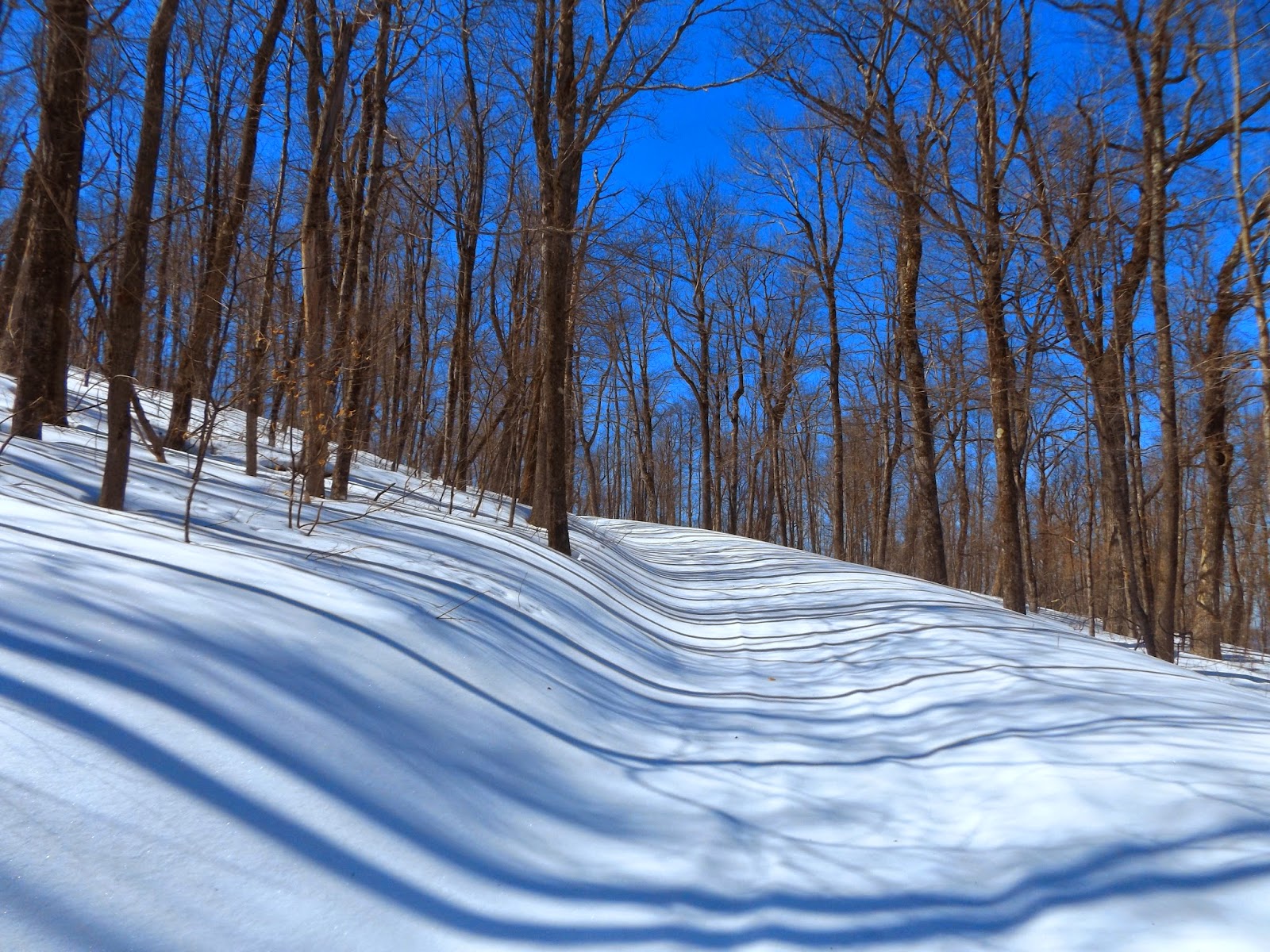
Climbing up to the ridge line under deep blue skies.
A level stretch of trail through hemlocks.
This is an isolated area, where there are multiple DEC campsites along the way.
You can catch a glimpse of views through the trees.
After 1.6 miles, you arrive at the summit area, where an old fire tower is found. The bottom two flight of stairs have been removed to discourage people from climbing up a potentially unsafe structure.
About fifty yards away from the fire tower is an amazing view to the south and west of the Schoharie Valley and Northern Catskills. Blenhium Mountain and the NYPA Blenhium Power Reservior can be easily seen from here.
The rural Schoharie County countryside.
A fantastic panorama.
The lookout spot near the summit.
Bitter, mid winter wind chills prevented me from lingering at the summit for too long, so I picked up the pace heading back down the mountain. Total mileage of 3.2 miles RT.
Headed a little further south to hike 3423 foot Huntersfield Mountain, which is actually located on the Schoharie County/ Greene County line, just north of the Catskills. The northern part of the mountain is actually the highest point in Schoharie County and there are many different approaches to the summit from all directions. I would be approaching from the south today from Jim Cleveland Road. It is not maintained in the winter so would have to hike up the road as well, adding another 1.2 miles to the hike. To find the road can be a bit tricky. From Route 23, take County Route 5 north up to County Route 10 and the tiny hamlet of West Settlement. From there, head north on gravel Schrader Road, where Jim Cleveland Road branches off to the right between a large house and a pond. It almost appears to be a driveway, so make sure to look for the road sign.
A short distance up the road a DEC State Forest sign is found.
The road climbs steeply up to about 2800 feet at a pass, where the trail leaves the road.
The only other tracks in the snow seemed to be coyote footprints.
Arriving at a quarry, this is where you leave the road. Take a right and just past the quarry, an old logging road enters the woods.
The trail is actually unmarked and unmaintained, meaning it is actually considered a bushwhack hike. Although unmarked, the trail is actually fairly easy to follow. I also used the GPS as a guide.
Just below the summit, you finally begin to see trail signage. I brought the snowshoes, but there was only a couple of fluffy inches of soft powder on top of two and a half feet of solid, compact snow, making them virtually unnecessary.
After about 2.5 miles I arrived at Huntersfield's 3423 foot summit, where unfortunately there are no views.
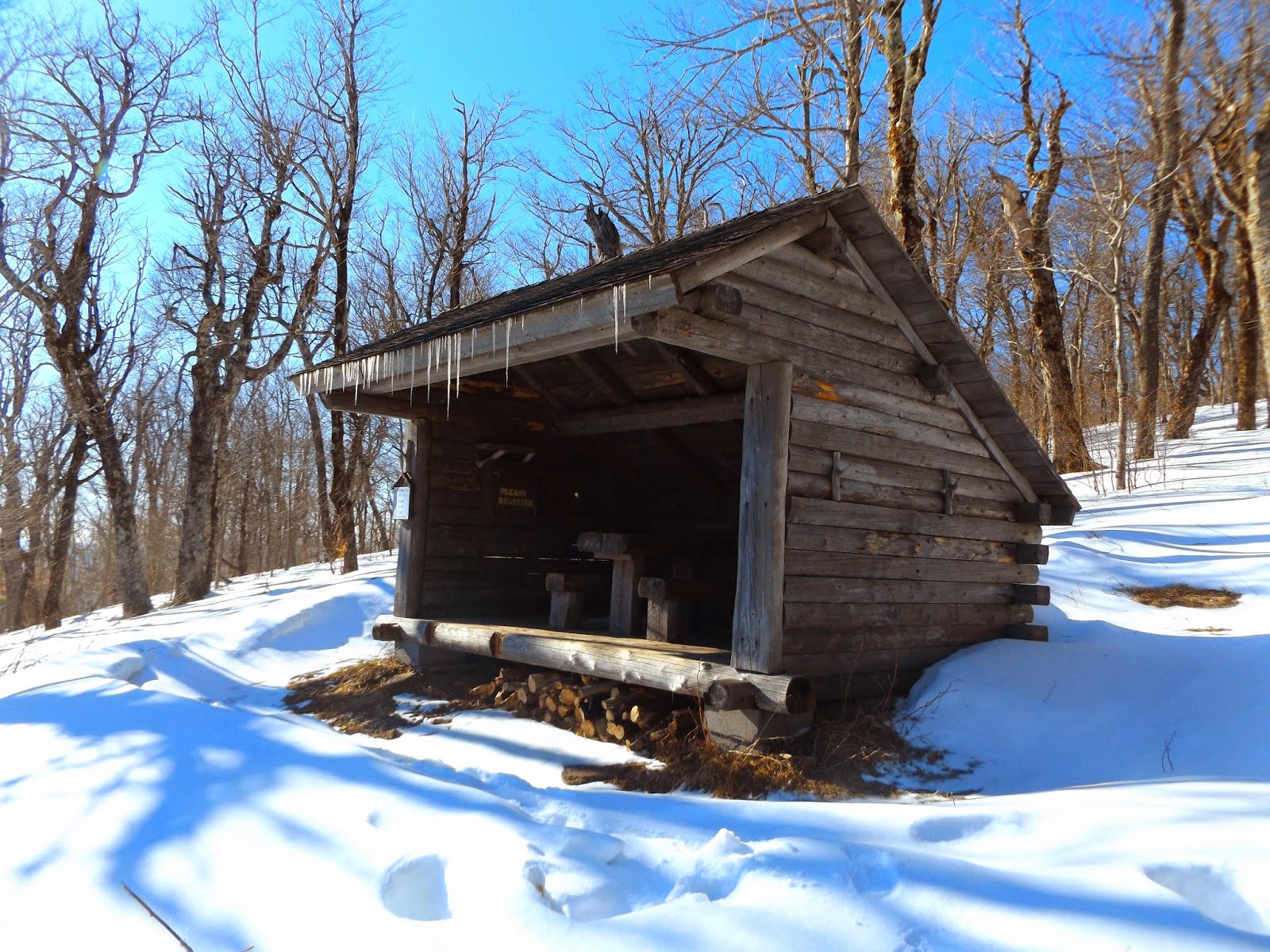
Just below the summit is a Lean To and tremendous south facing views.
Tremendous views of the Catskills can be found from the Lean To. The Patterson Ridge as well as the mountains of Spruceton Road and many other Northwestern Catskill peaks can be seen from here.
The view of the front of Huntersfield Lean To.
Just past the Lean To, is a view to the east of Ashland Pinnacle and the South Mountain Range.
East views off Huntersfield.
Looking out from the Lean To, where a bench and table make a perfect spot to take a rest and soak in the views.
Hiked roughly 5.0 miles RT to Huntersfield Mountain and 8.2 miles total RT for the day. Hopefully winter will relinquish its grip soon, so we can begin to enjoy some true spring weather.


No comments:
Post a Comment