Tucked away in northern Massachusetts among the steep and rugged hills of the Deerfield Valley lies rustic 6,400 acre Mohawk Trail State Forest. The Forest offers many miles of hiking trails through old growth forests, deep gorges, and along mountain ridges. I paid the in season $10 out of state fee($8 for Mass residents) and quickly geared up and got going.
This is a remote, wooded area well known for its abundance of black bears.
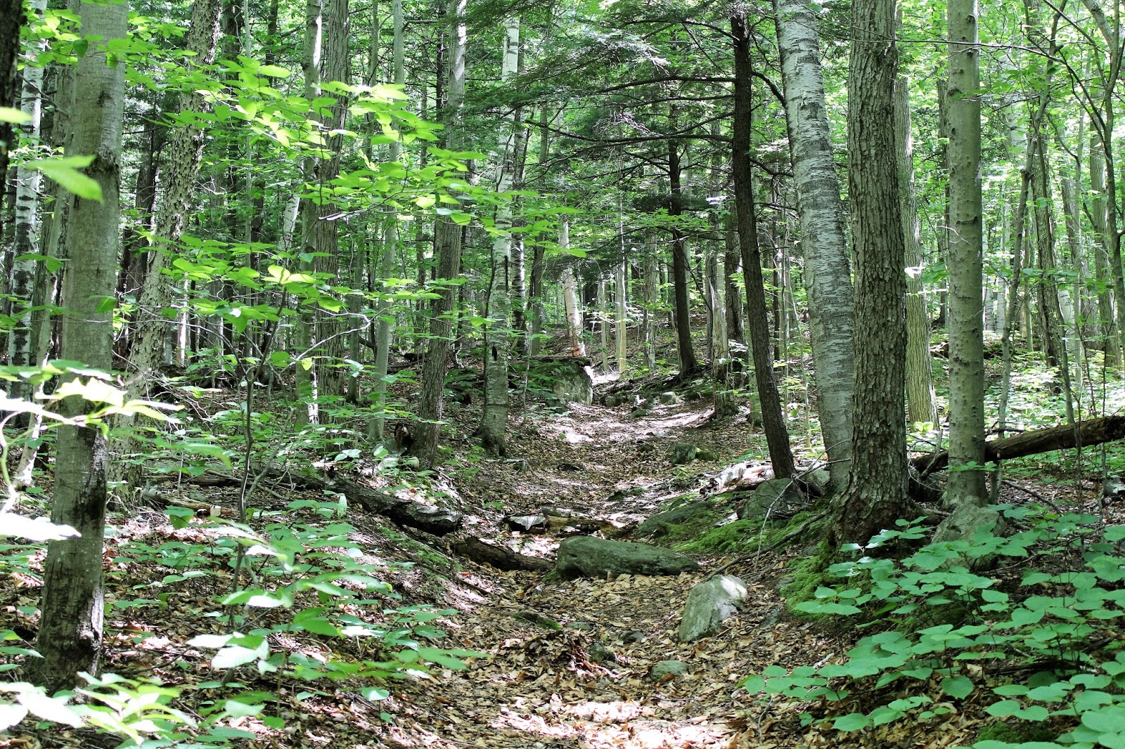
The first .6 of a mile, I walked the forest service road past towering old pines and scenic woodland.
Near campsite 38, a sign marks the beginning of the Indian Trail, which enters the woods on the right.
The Indian Trail climbs very steeply for about half a mile following blue blazes.
Captured this image of a fellow hiker on a steep section of rocky steps. I would certainly rate this climb as difficult to strenuous, especially on a hot day. I really worked up a sweat on this ascent, gaining nearly 700 feet in half a mile.
Emerging at a trail junction in the col between Todd and Clark Mountains, where the Mahican-Mohawk Trail heads left towards 1920 foot Clark Mountain. The Indian Trail continues right(east) on its way towards Todd Mountain.
The trail climbs steadily but much less strenuously the last .75 of mile to the double summits of Todd Mountain.
A view south at nearby ridgleines through the trees just below the summit.
Emerging at a ledge at the 1711 foot summit of Todd Mountain.
There are multiple views at and near Todd Mountain's summit. All views are south, with this being a look to the southwest towards Savoy and Florida.
A look at the high point on Todd Mountain.
A northwest breeze kept it cool on a warm summer day along the sun drenched wooded ridge line.
Soon arriving at back at the col, I continued west on the Mahican-Mohawk Trail heading towards Clark Mountain. The terrain becomes increasingly steep on the north slope of the mountain, just below the trail.
I had to leave the trail to find this nice view north from a break in the trees. The mountain in view is Negus Mountain, which rises steeply, directly across the Deerfield River.
I hiked all the way to Clark Mountain through a gorgeous forest. The 1920 foot true summit is about .1 of a mile off the trail and is totally wooded with no views. From there, I turned back, retracing my steps back down off the mountain. The descent was steep and tough, but soon I arrived back at the service road and eventually made my down to the beautiful, rock strewn Cold River. Round trip was a little shy of 4.5 miles.

Once back at the car, I left the main parking area of the forest and headed back out to Route 2. Hanging a right(west), I proceeded a short distance down the road past the pool area at a small forest parking area. I parked the car here and then crossed the road heading back east about .1 of a mile. Just after passing a "Entering the Pioneer Valley" sign, the Totem Trail begins behind a small grassy area. The first sight along the trail is a wooded pump house just up the hill. Do not go towards it, but instead quickly turn left, crossing a pair of wooden foot bridges over a dried up intermittent streambed.
Following blue blazes, the trail climbs south steeply to moderately through a second-growth hardwood forest.
Parts of the trail follow a washed out area and even where trail markers are sparse, it is fairly easy to negotiate the ascent.
After about 1.1 miles and about 800 feet of elevation gain, the trail ends at a shoulder of an unnamed peak, elevation of just over 1600 feet. This scenic rock ledge provides a gorgeous, sweeping view to the north and east above Trout Brook and the Cold River Valley, The main ridge line that dominates the view is Hawks Mountain(R) and a shoulder of Blueberry Peak(L) can also be scene.
The view is dramatic, looking way down at Route 2 winding below along the Cold River.
After enjoying the view for several minutes, I climbed back down to the car after having hiked 2.2 miles RT. Total mileage for the day was about 6.7 miles on a low humidity, breezy, downright comfortable July day!


Thanks for sharing this! We are going to try at least one of these hikes this weekend.
ReplyDelete