Found a little time after work today to do some exploring along the Long Path in a beautiful area of rural Albany County. Parked at the corner of Gifford Hollow Road and Switzkill Road in the town of Berne and headed south along Gifford Hollow Road. Spring was in the air yet again, with temperatures approaching 60 degrees.
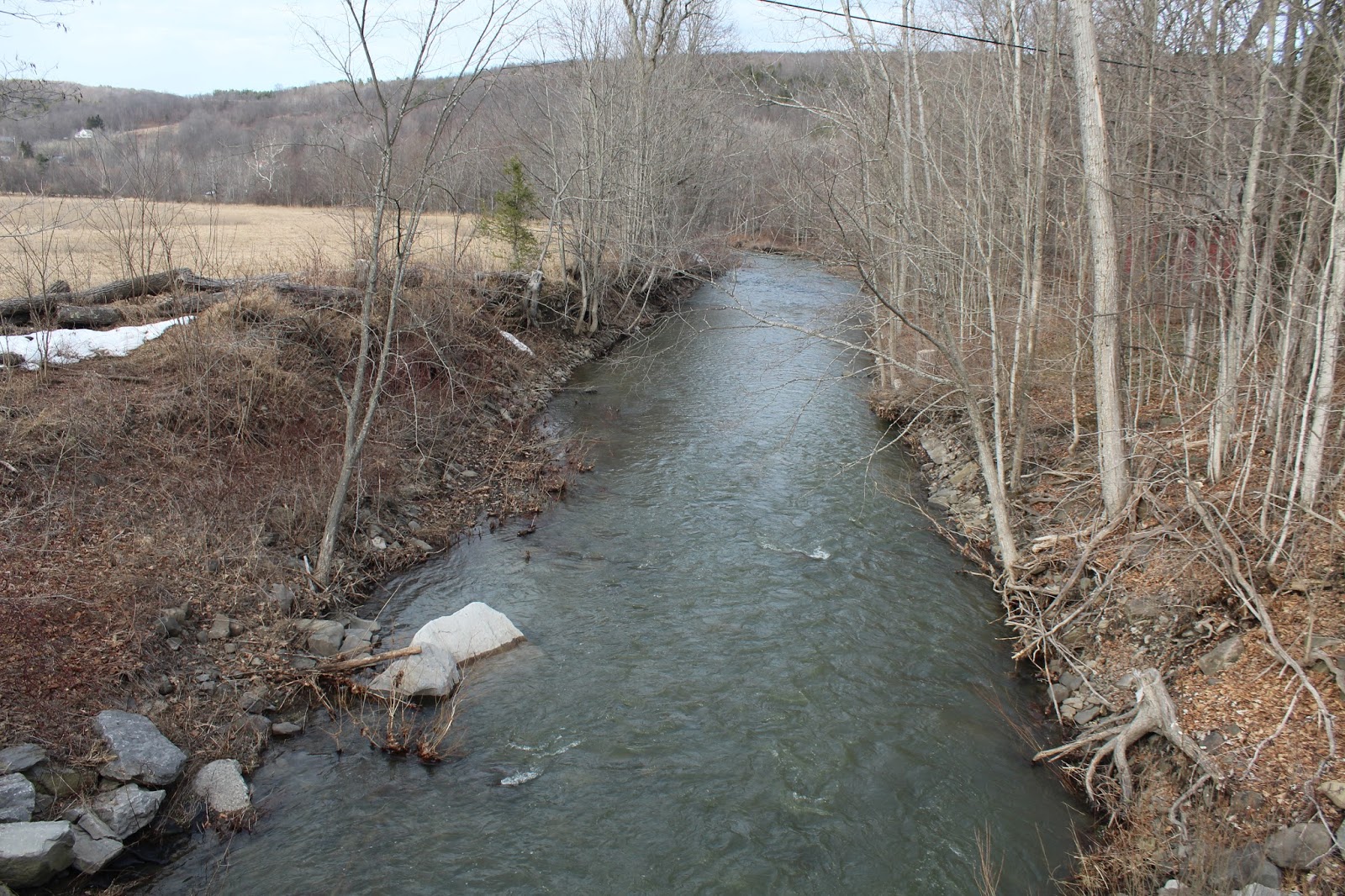
The first .2 of a mile is a road walk. Usually I have a strong disdain for road walks, but today was much different, as the road sees very little traffic, and the views are very nice. Stopped for a moment at a bridge crossing to capture this shot of the Switz Kill rushing along.
The Long Path turns sharply right at a gate, entering a large open meadow. Aqua blazes mark the way.
The eastern edge of the Partridge Run WMA hovers above just to the south. This was where I was heading.
If these walls could talk. Stone walls provide a glimpse into our not so distant past.
Only about 150 yards off the trail and at the edge of the meadow sits a small, but pretty lean to. Built back in 2011-12, it looks like it sees frequent use, with furniture, wood for burning and reading material all readily available.
The view across the fields from inside the lean to. The brick fire pit is also one of the nicest I've ever seen on a trail.
Just a few yards behind the lean to is the Switz Kill, which is running quite swiftly.
Back on the Long Path, the trail heads nearly due west through open meadows.
The views of the surrounding hills are very nice and I found this section very enjoyable. East Hill can be seen just to the north.
A nearby home sitting pretty, high up on a hillside.
After about .8 of a mile, the trail enters the woods, climbing slowly through the spongy, muddy woods. A small drainage was an easy rock hop here.
About 1.2 miles into the hike, I crossed onto state land. This is where the Partridge Run Wildlife Management Area begins.
A steady climb(but not steep at all) brings you up to the escarpment, where the land below begins to drop off significantly.
The Long Path winds its way around the north side of the escarpment heading east, before turning south with pleasant screened views of the valley below. The hills of Cole Hill State Forest can be seen rising to the northeast.
I continued along the escarpment for a bit, before the trail finally breaks away, heading up to a height of land around 1500 feet. Fleeting afternoon light made me pick up my pace from here.
Arriving at Kingfisher Road(a rough 4x4 road), which would be my turn around point.
Made great time heading back to the car, but unfortunately found nearly a dozen ticks on me. Just shy of 5 miles total for the day.


Boo to ticks!
ReplyDelete