Headed north again today to hike 2391 foot Balfour Mountain, another small, trail-less peak in the Vanderwhacker Mountain Wild Forest. To access the mountain, I parked at the trailhead for Hewitt Eddy along the shoulder of Route 28N in Minerva. Elevation to start was 1670 feet as I set out on the trail, heading SW. I only stayed on the trail for about 1/3 of a mile, before heading off trail into the woods.
Once leaving the trail, I dropped down to an easy rock hop crossing of pretty Stony Pond Brook.
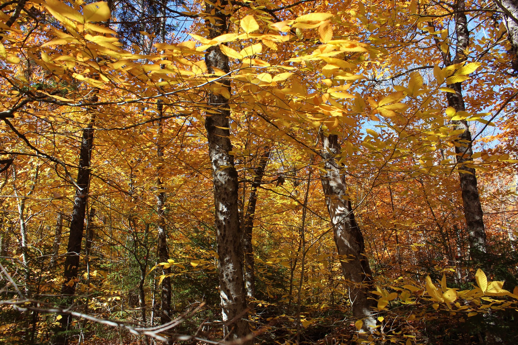
From the brook crossing, the bushwhack ascent commenced. The woods were very open, and pretty easy to navigate.
Nearly 100 percent sun and temps climbing through the 60's made for a perfect hike through the autumn woods.
An impressive burl among the open forest.
An easy ascent brought me up and over a false summit, through a couple of open areas and eventually the true summit. The 2391 foot summit sits in a bit of a clearing with no views.
A steep drop east-southeast from the summit brought me down to an open ledge. From here there is a small bench, a smashed Cat in the Hat sign and this poem nailed to a tree. A rather strange combination of things, but also a clear indication that this a known view spot.
The views from the ledge are very nice, looking directly out over Balfour Lake as well as Camp Baco and Camp Che-Na-Wah, both private camps located along the lake shore.
To the NE, the view takes in the northern end of Balfour Lake and a sliver of Hewitt Pond, tucked into the rolling peaks.
The magic of autumn. Mother nature was really showing off today.
After enjoying the views, I stayed just below the summit ridge on the way back, eventually heading for the same NW slopes I had climbed up earlier. Open woods made for a quiet hike back.
My descent brought me about 1/10 of a mile east of where I had crossed Stony Pond Brook earlier. No big deal, except that the brook has been dammed here and has created a lush beaver meadow.
Once across the brook, I walked up the shore a few yards to capture more of the sprawling wetland to the east.

A nice and easy walk on the trail for just over 1/3 of a mile brought me back to the car. 4.3 miles RT with 1100 feet of ascent on this beautiful day.
Today's route below. Red=Ascent Blue=Descent


Wow, that's a beautiful area! I'm glad the leaves are off the trees, it opens up the views.
ReplyDeleteYeah, I'm with you Ned...when the leaves are off it only enhances most of the views. Especially when bushwhacking.
Delete