The trail is really just a rough continuation of the road, heading north. Elevation here was a touch over 2600 feet.
Very mild temperatures and recently melted snow meant that the road was almost complete mud, with small run off streams coming down the hillside.
After about .6 of a mile, we left the trail to the east and began the bushwhack. We crossed a tributary on our descent down to Fall Brook, dropping down to about 2400 feet.
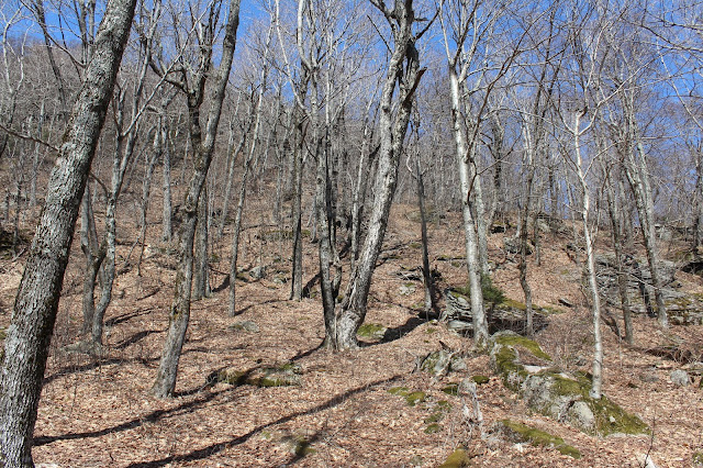
Almost immediately after crossing the brook, we began our ascent, climbing up through a hardwood forest. We crossed a couple of woods roads along the way, but did not follow them.
The bushwhack was very pleasant, with a gentle climb and very little blowdown or any other issues.
A final, somewhat steeper push gets you to the summit area, where we were greeted by a very large glacial erratic.
We explored the summit ring for a bit, finding some screened views west towards the Beaver Kill Range from some rock ledges.
After dropping off to about 3000 feet, we then climbed back up to a 3200 foot north summit bump, where we found a large clearing. This was an interesting spot and we wandered around this area for a few minutes before continuing along.
As we began a steeper drop off the north bump, we began to encounter our first snow of the day on the north slopes. This also provided a very nice, screened view towards Doubletop Mountain.
The climb up towards Doubletop's southeastern bump was actually quite steep in spots.
Ascending Doubletop's southeast slopes.
A steep push through large Catskill rock ledges.
A peek past some hemlock trees towards Doubletop's summit ridge.
We pushed up some very steep slopes on the way up Doubletop where we searched for views, only finding a hole in the trees with a southeast view.
Once we neared Doubletop's south summit well over 3800 feet, we encountered more snow, in a spruce-fir forest.
The snow got deeper between the south and north summits, up to almost a foot deep in spots. So strange to be hiking through deep snow on an 80 degree day.
After a quick break at the summit, we turned back retracing our steps through the snow and back off Doubletop's south summit. Remarkable how quickly the air warmed up again after leaving the spruce-fir summit and got back into the hardwoods. We lost elevation quickly after leaving the summit.
Again we searched for some views on the steep descent, finding decent but not great peeks through the treetops.
A look back at the steep descent.
Rock ledges above.
We headed back south towards the north summit of High Falls Ridge, before turning west, dropping just prior to its snowy slopes. As we arrived back down in the deep notch between the peaks we hit a tributary of the Beaver Kill.
We crossed the tributary, arriving back at the Finger Lakes Trail and a large marshy area in the notch.
The marsh provided a great view north back towards Doubletop's twin peaks.
The Lean To is equipped with a fire pit and privy and looks like a decent place to spend a night.
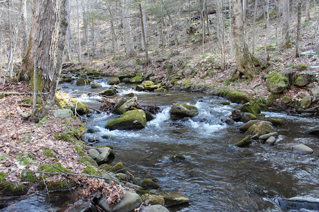
Continuing south along the trail, we crossed a runoff stream with some pretty cascades.
The south end of the trail and road, nearing the car.
Arriving back at the car, we enjoyed some northeast views towards High Falls Ridge across the open fields.
Hiked about 11.5 miles RT with very few open vistas, but the beautiful, warm spring day more than made up for it.


No comments:
Post a Comment