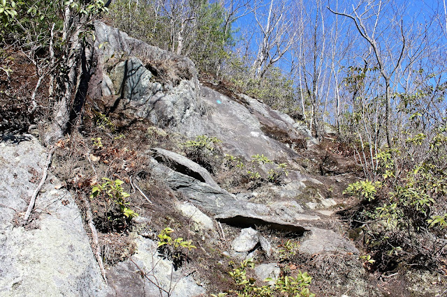
The trail is well marked and it begins climbing immediately...and quite steeply.
This is probably one of, if not the, steepest trails in Western Massachusetts.
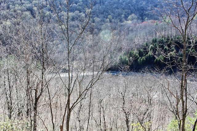
The climbing was actually quite fun and quickly began providing views back down towards Zoar Road behind you.
Ascending.
A lot of the ascent is on bare rock, which is marked in blue blazes.
Just when you begin to catch your breath the climbing gets steep again.
From an open rock I found a great view of Todd Mountain's twin summits directly to the south.
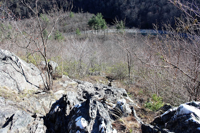
A look down towards the Deerfield River and Zoar Road provides a glimpse of just how steep it is.
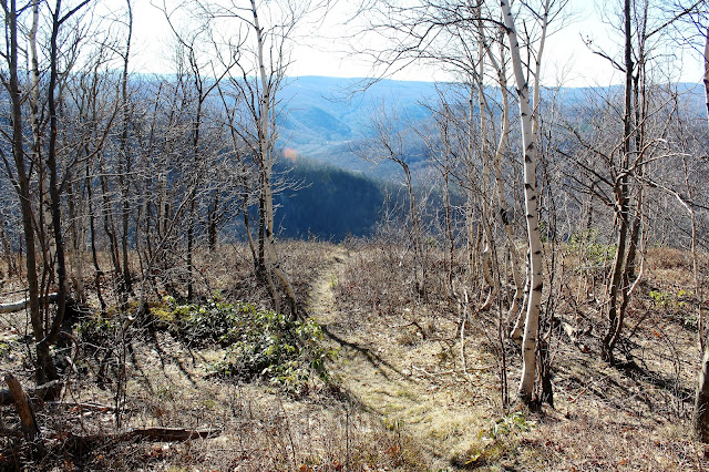
Once the trail arrives at an open shoulder, there is a spectacular view of Negus Mountain's rocky south sub summit.
From the shoulder towards the sub summit is almost entirely open hiking, with fantastic views alla round.
Continuing on towards the sub summit, which felt more like High Peaks hiking than a 1778 foot mountain normally would.
This was a phenomenal hike and much better than expected.
Great, fun hiking on open rock.
A view to the east towards Berkshire East ski slopes beyond Todd Mountain's slopes.
Hiking along the rocky spine.
A large gravel pit and Deerfield River highlight he view to the west.
The Bear Swamp Reservoir can be seen to the northwest.
Continued along the ridge through open hardwoods towards the true summit bump with a clearing and fire pit.
A zoom view west into the valley from the clearing near the summit. Looking closely you can spot the steeple in Florida as well as the Eastern Summit clearing a bit further beyond.
From the true summit bump is a nice view back towards the ridge line that I had just hiked to the south.
The Deerfield River, snaking along to the east.
Emerging from the wooded sub summit to the open section of hiking again.
I stopped and grabbed a drink on an open slope, overlooking the valley. The Deerfield River can be seen directly below, about 900 feet down.
Incredible open ledges.
The descent was extremely steep, but quick. Good footing is essential in many spots.
This hike packed a lot of punch. I can't say enough good things about it. About 3.5 miles RT, with a touch over 1100 feet elevation gain.


cool. I had read trip reports on this mountain, but never ventured over there. mainly because of the two hour drive.
ReplyDeleteAgreed. Unfortunately thee is no quick way over to that area, but the hike itself is a gem. I would recommend it, combined with another hike in the area.
DeleteCount your days "Grogery"
DeleteThanks for the description. We did it yesterday. There was one inch of snow on the ground, therefore, microspike was needed. Since it might be too deep to hike down from Negus Mountain Trail, we went further north and made a right turn to get down, which is much easier
ReplyDeleteGlad you got to enjoy this little know mountain! I really enjoyed this small peak!! A lot of bang for the buck!
DeleteWe've hiked this mountain several times,throughout the four seasons. there is an abandoned chimney section, which is actually vertical. I have dare to hike it a few times but often choose a friendlier route. In June, the Mountain Laurels are impressive
ReplyDeleteWe tried to hike this Monday. We were looking for the Boulder Field with Glacial Erratic. Did you happen to see it? We didn't quite make it.
ReplyDeleteThank you. This mountain was suggested by some members of a hiking group to me. But the reviews on alltrails were just horrible because they were for the entire trail, which I guess gets a bit bland in the middle. So thank you for the only decent write up about this mountain on the Internet that convinced me to do it for the first time yesterday. I was very impressed for this being in Massachusetts. And I'm probably the only one who ever posted decent video footage of this hike, based on what I've been able to search. That's why I included the URL. But I will definitely be back and I'm considering doing its twin across the way. I met some interesting people at the bottom who told me that there was also a path of the adjoining mountain and I bet the views will be just as good because you're coming out out of that very low spot in the valley. Very fun hike.
ReplyDelete