Here is a nice perspective of the section of Misery Mountain from the east in South Williamstown.
Parking is available in a designated parking lot on the west side of Oblong Road. Elevation at the trail head was 1150 feet.
The trail heads west out of the parking lot, and soon passes through an old apple orchard.
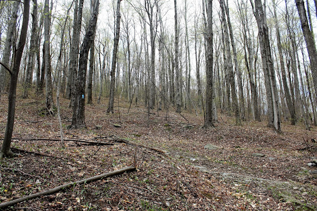
Just beyond the apple orchard, the trail enters a hardwood forest and begins climbing steadily. Soon you will pick up a woods road and continue the ascent. A very interesting aspect of hiking this time of year, is the difference in the sprouting vegetation from lowland elevations compared to higher up.
The trail zig-zags its way up the slopes following woods roads part of the way and then foot trails others.
As the trail gains elevation, screened views through the growing vegetation.
A look up a typical steep section of the trail.
Passing several stone walls along the way.
Looking north towards the main ridge line.
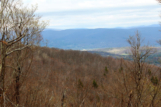
I skirted the edge of the ridge where fallen trees provided an opening and pleasant views towards Williamstown, which can be seen just beyond another ridge.
I was quite surprised to find some very nice east facing views from another opening in the treeline. Here is a great view above South Williamstown's rural farmland towards Greylock's Hopper.
The Phelps Trail climbs up to 2450 feet in 1.9 miles to the Taconic Crest Trail, gaining 1300 feet in elevation.
Trail signage along the Phelps Trail at its junction with the Taconic Crest Trail.
I turned south on the Taconic Crest Trail from here.
The Taconic Crest Trail soon climbs up and over a cleared peak, also the high point for the day at about 2485 feet elevation.
As I continued south, clearing skies to the north provided a nice view back towards the high bump I had just came off of.
Bright sunny skies really began to warm the day up as I hiked one mile along the trail.
Coming down off another bump.
As I approached the Mills Hollow Trail, the slopes of the mountain began to drop off significantly, where views of Misery Mountain's southern bumps began to open up.
As I dropped into a high saddle at about 2100, I arrived at the trail junction for Mills Hollow Trail to the east and Southeast Hollow Trail to the west. Just a few yards off the trail is an old stone state border, dated 1898.
I turned east here, following the Mills Hollow Trail back down towards Oblong Road.Mills Hollow Trail is an old road which drops gently down, offering up great views down into the hollow.
The trail descends 1.6 miles all the way down towards Oblong Road. Just prior to arriving at a large meadow, the trail crosses a small stream with a makeshift bridge.
Mills Hollow Trail ends at Oblong Road at what appears to be a private drive.I walked north along Oblong Road the last .4 miles back to the car in the parking lot. Total mileage for the day was 4.9 miles RT.


No comments:
Post a Comment