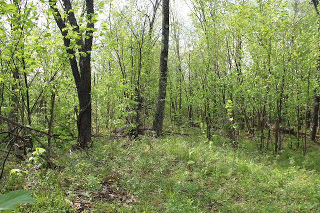
Once on state land, I left the abandoned road and bushwhacked north through open hardwoods. The black flies were a major pain in the butt, pestering me the entire way. After nearly 700 feet of climbing, I arrived at the wooded, 2120 foot nondescript summit of Merrill's Hill.
I really didn't expect to find much at the summit, so I quickly moved on, heading west towards the ledges you can see from the road. After about 1/3 of a mile, I soon saw the woods giving way to a series of steep ledges.
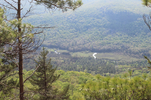
A strong breeze pushed away all the black flies, allowing me to fully enjoy the sweeping ledge views.
NW views, with a nearly vertical drop below.
SW views.
Snyder Hill and Oliver Hill dominate the view west, with Trout Brook easily seen winding below.
SW views towards Olmstedville.
After soaking in the views for a bit, I finally headed back, descending steeply. I literally stumbled across a herd path, complete with flagging and even arrows where to turn.
The woods were very open and the herd path pretty much brought me right down to where I needed to be.
Crossing over a tiny tributary.
Hiked about 3 miles RT with over 700 feet of elevation gain.
One of the best parts about this small peak, is that its ledges can be clearly seen from below on Wamsley Road. They certainly do look impressive from here.


It's amazing you openly say to ignore the posted signs marking private property!
ReplyDeleteAs long as you stay on the road then it is okay.
Delete