The forecast was for bright sun and warm, slightly humid conditions, so I headed north to do a fun bushwhack of Buck and Little Buck Mountains. Satellite imagery shows what looks like a lot of possible open rock on the SW slopes of Buck, so I figured I'd give it a look. Starting from the Buck Mountain Trailhead(elevation about 390 feet) along Pilot Knob Road(which was nearly packed-even on a Tuesday), I headed on the trail towards a crossing over Butternut Brook.
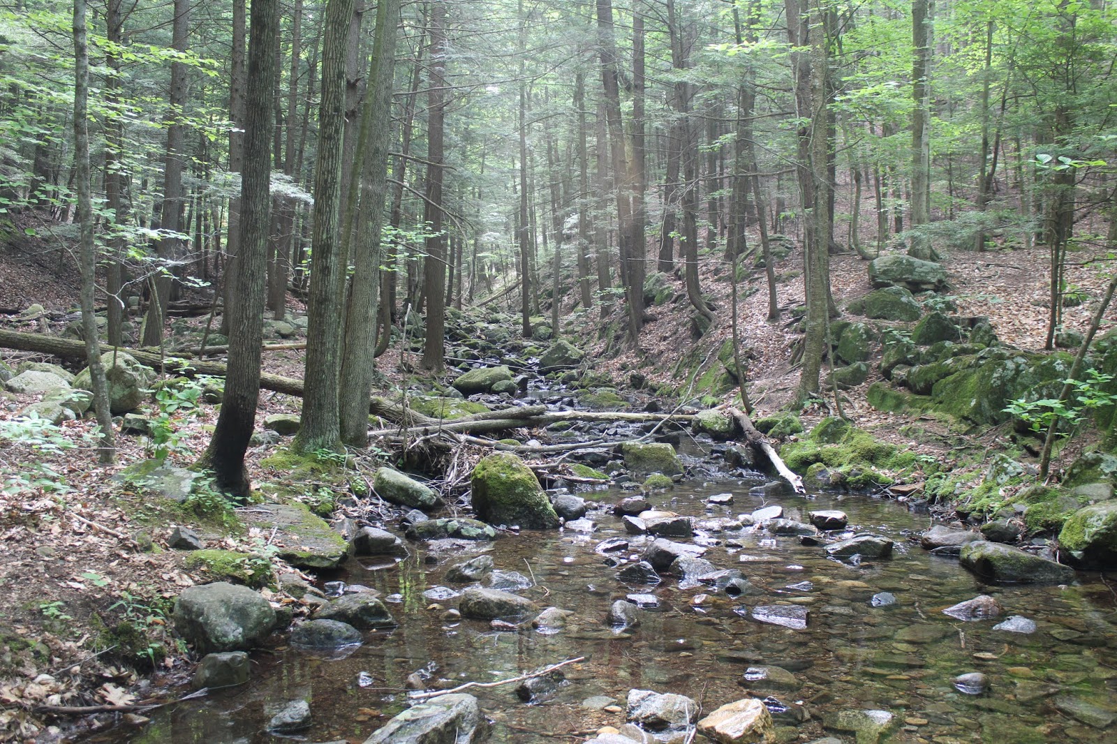
Picturesque Butternut Brook.
Stone walls serving as a reminder of the past.
A short distance past the brook crossing, I left the trail and headed into the woods. I quickly encountered open hardwoods, which were an absolute pleasure to hike through. At about 1100 feet, I began hitting a series of open ledges in a park like setting.
From these ledges around 1100 feet, I spotted this great view SW towards Lake George, with Long Island dominating the water view.
Also from these ledges, I encountered this fantastic view south towards the Pilot Knob ridge.
All along this SW ridge of Buck, the hiking was simply perfect, through beautiful open, airy woods.
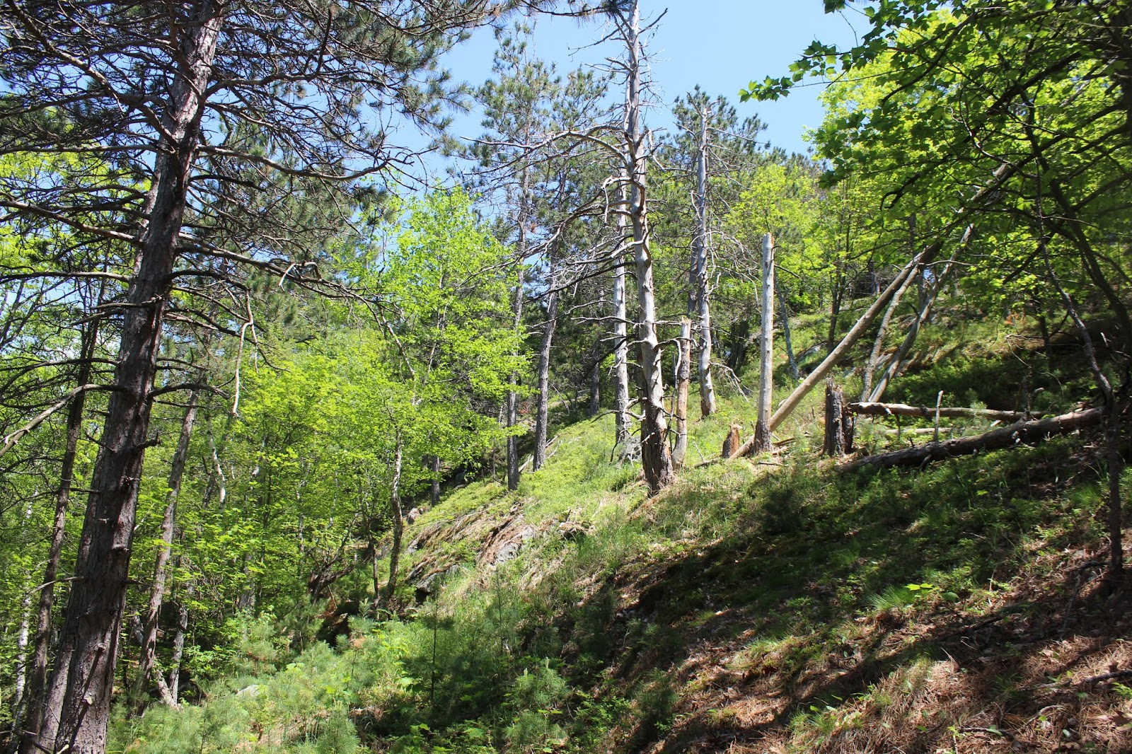
As I ascended, I continued to hit more and more open areas, which kept me wanting more.
From about 1700 feet, I found a broad, field like area, with great views towards Lake George...
...and towards Pilot Knob ridge.
Pilot Knob's NW ridge heading down towards the lake.
The fun scramble up through the open field like area.
More Lake George views from the top of the clearing.
Pilot Knob's entire ridge can nearly be seen from this open rock at the very top of the clearing. This made a perfect spot to stop and take a break.
As I continued my hike up, I continued to hit open areas, filled flush with low bushes and fern glades.
I couldn't help but notice that there were random blue trail markers in these woods. A faint herd path could be found near them, but certainly doesn't look to be maintained at all. Not too sure about any info on this.
Passing by this vernal pond a little over 2000 feet.
Wildflowers in bloom in the Adks!
The west slopes just below the summit got quite steep. One final push got me up there.
Emerging from the woods just west below the summit, I had nothing but open rock between me and the top.
Arriving at the 2334 foot summit of Buck.
Of course, there were a handful of people on Buck's summit. These folks, however, were the only ones I'd see all day.
The Tongue Range stands impressively from Buck's summit area.
Northwest views towards Montcalm Point.
A zoom view towards Little Buck, with its open ledges clearly visible.
I dropped directly off the north slopes of Buck, which was a very steady, steep descent through mixed woods. The woods were mostly open, but with quite a bit of blowdown, which slowed me down a bit.
After the steep descent, a small ascent brought me up to a 1690 foot "bump", where Buck Mountain could be seen just above the tree tops to the south.
From the 1690 foot sub bump, I descended even more, dropping into a deep hemlock forest. A quick climb up, brought me into more hardwoods on Little Buck, where I swung around to the SW ledges near the summit area.
The ledges were much more open than I expected, and made a fine place to enjoy Lake George views that few people enjoy.
Buck Mountain towers above, over 700 feet higher to the south.
Little Buck views.
Dome Island and the town of Bolton to the west.
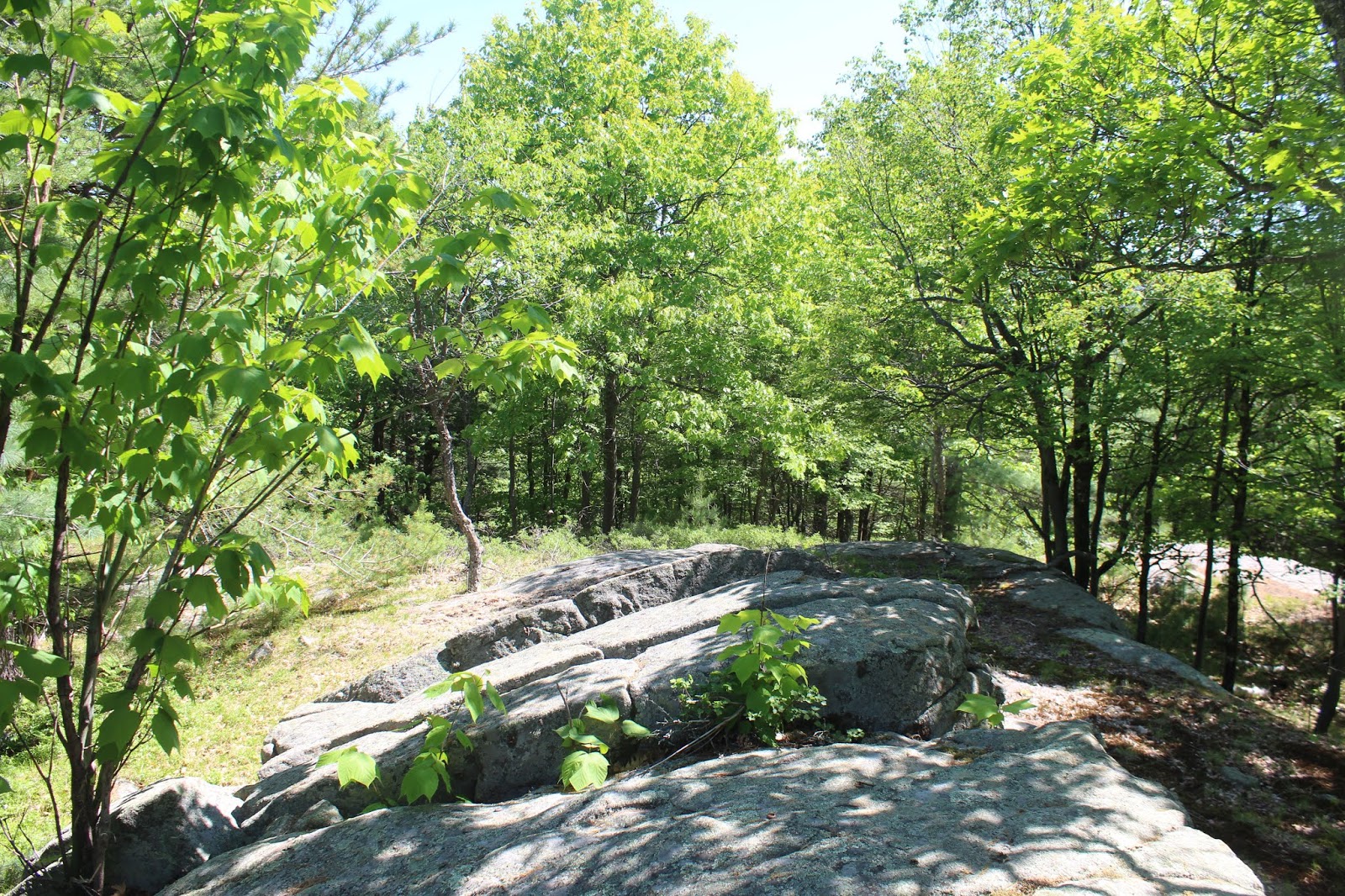
The ledges on Little Buck are wide open and very enjoyable to explore.
After enjoying the open ledges, I continued on a scant .15 of a mile up to the true 1605 foot wooded summit.
Headed down off the summit, carefully descending to the west slopes of Buck, which were steep and cluttered with blowdown. I didn't really want to climb all the way back up to the summit, and didn't really need to, so hugged the steep slopes until I neared my initial route up Buck around 1800 feet. From there it was an easy bushwhack back along the SW flank of Buck, until a final drop brought me back to the marked DEC trail. A short 3/10 of a mile trail hike brought me back to the car.
A long but fun day, with over 10 miles RT and 3300 feet elevation gain.


I'd very much like to use your "stone wall" photo at my blog, if you don't mind.
ReplyDeleteI believe it may be an Indigenous Snake Effigy, especially with the second photo I'd like to use of the Chingachgook Trail marker - because the word translates to "the Great Snake."
http://wakinguponturtleisland.blogspot.com/
No problem!! Glad to share!
Delete